Fisheries Evidence Project
Project Focus:
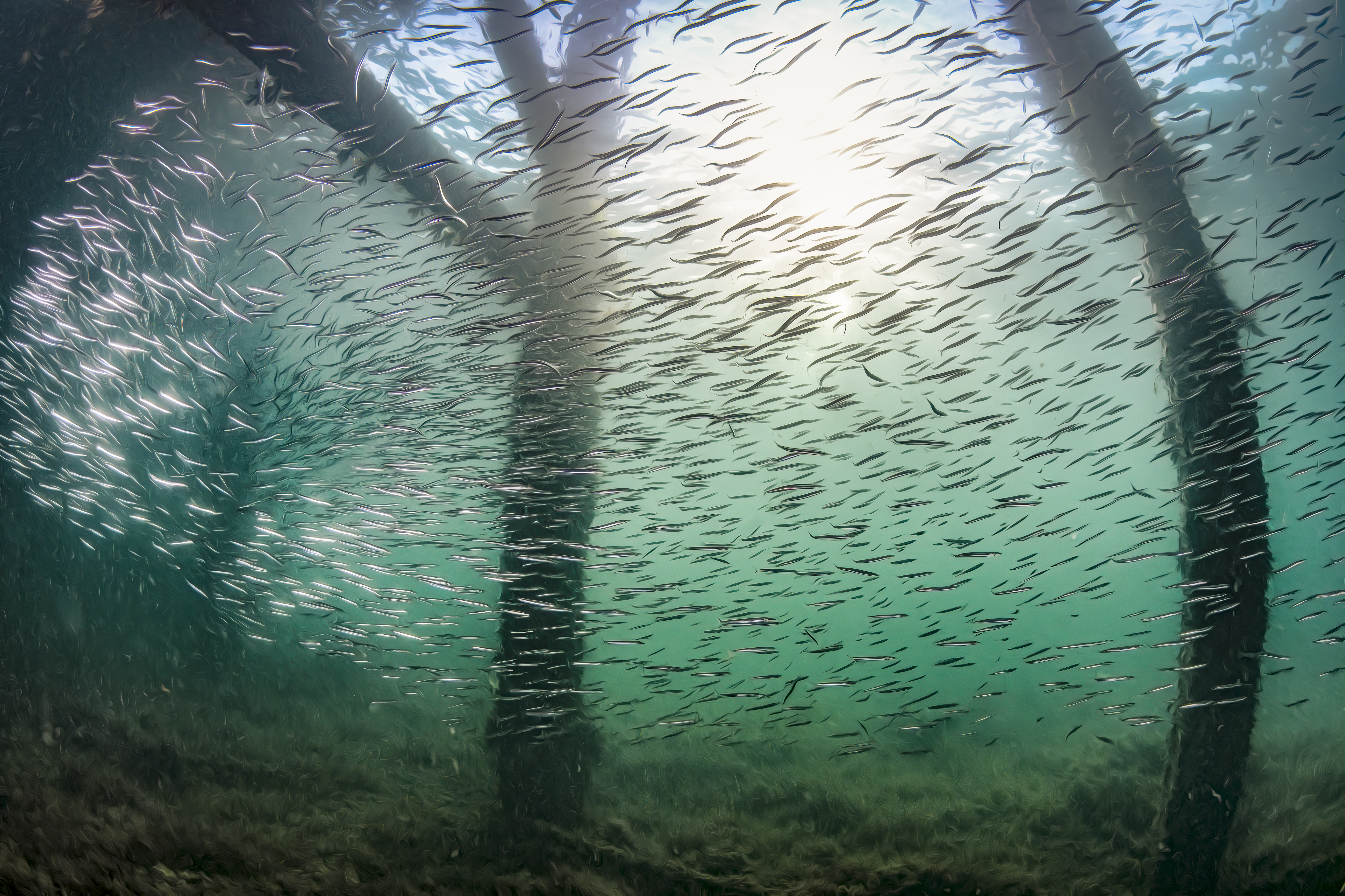
Over the last few decades, the fishing industry has been placed under significant pressure, due to increasing offshore human activity and pressures such as climate change, habitat loss and overfishing (Seafish, 2022). The increasing spatial footprint of offshore development, including offshore wind, will change the ocean landscape and could cause the displacement of commercial and recreational fisheries, resulting in negative socio-cultural, economic, and ecological consequences (European MSP Platform, 2021).
To mitigate against potential conflicts between offshore activities and to protect and enhance the marine environment, the spatial distribution of fishing effort in the waters surrounding the UK must be better understood. However, there remains a paucity of publicly available high-resolution fisheries data and, even where data is in existence, challenges in information accessibility.
The integration of fisheries spatial data into The Crown Estate’s modelling approach will provide an improved understanding of the potential social, cultural, economic and environmental impacts of offshore development on fisheries, the environment, and the coastal communities dependant on fisheries for their livelihoods. This will also help The Crown Estate’s approach in future leasing rounds.
Location:
UK-wide
Timeline:
February - May 2022

Deliverables

Intended Impacts
Partner Organisations:
- N/A
Funding Organisations:
- The Crown Estate
Associated Organisations:
- Marine Management Organisation (MMO)
- Centre for Environment, Fisheries and Aquaculture Science (Cefas)
- Fishing Industry Representatives
