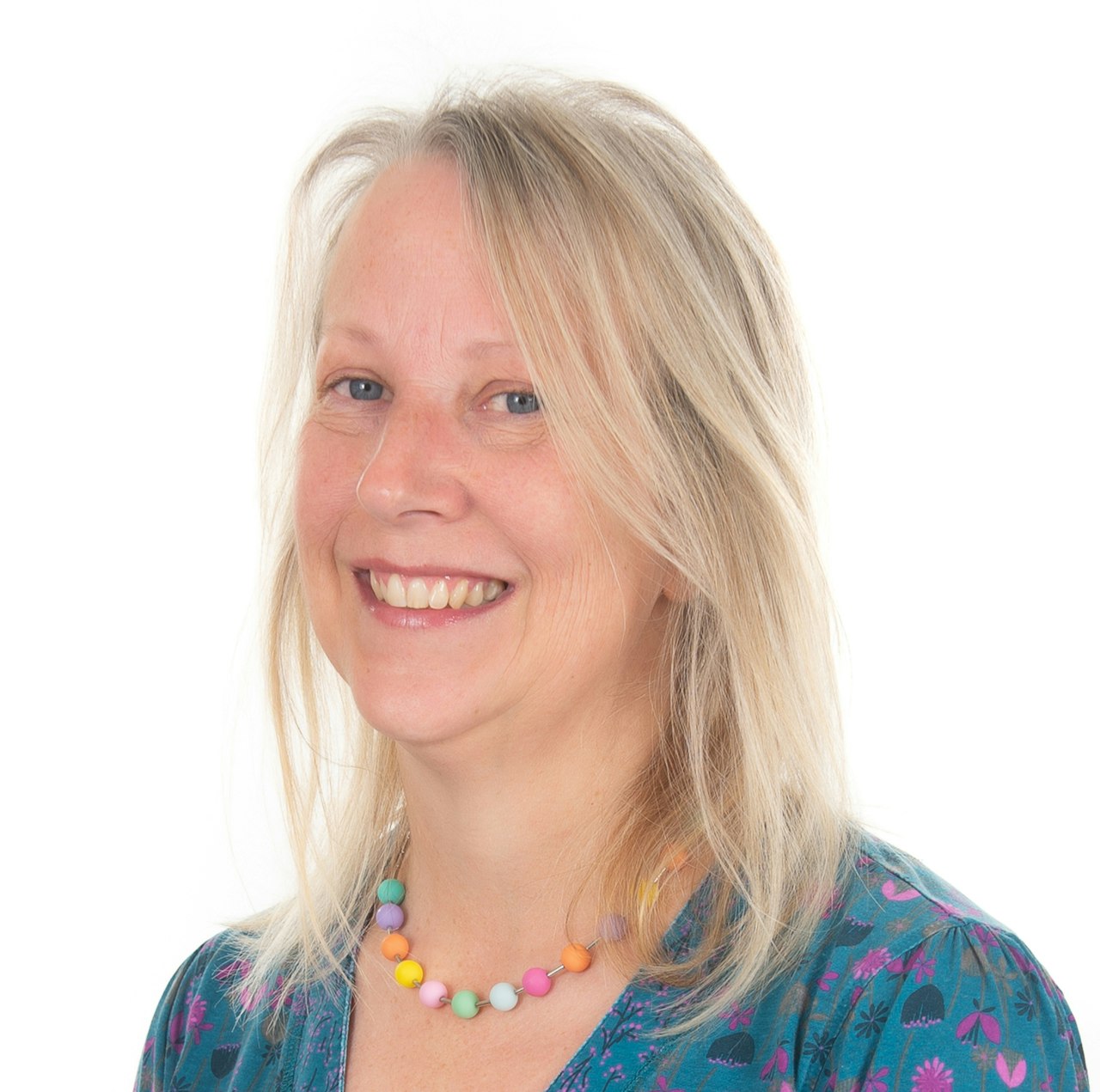
MDE Profiles: Nicola Dewey

Nicola Dewey
ABPmer, Principle GIS Analyst
Personal Profile
Growing up, I spent most of my school holidays at my grandparents’ house situated on a cliff top on the south of the Isle of Wight with views along the coast to the famous Needles. I would roam the cliffs and beaches looking for fossils and old coins washed up from shipwrecks, and I went to sleep every night listening to the sound of the waves crashing on the beach below. This started my love of all things marine and the natural environment. I took up sailing in my teens, attained various RYA qualifications and regularly crewed in various racing events throughout my 20s and 30s. I also love exploring new places and going on holidays and walks with my family, including our crazy 2-year-old border collie. Training and walking the dog has taken over much of my spare time recently!
Favourite hobbies:
Sailing, kayaking, dog walking/training, camping, reading, and eating good food.
Favourite marine creature:
Echinocardium cordatum (commonly known as the sea potato)
Career Profile
I have been working at ABPmer for 13 years, starting as a GIS analyst and now a Principal GIS analyst in the Data Team. My role is focused on providing data analysis, quality assurance and data management services across the whole range of ABPmer service areas – including the day-to-day project management of the work carried out by the Data Team on the Marine Data Exchange for The Crown Estate.
LinkedIn Profile:https://www.linkedin.com/in/nicola-dewey-68328714a/
Responsibilities:
Project and data manager for many environmental and socio-economic assessment studies, marine planning, offshore renewables, managed realignment, coastal habitat and navigational risk projects. Providing quality assurance of project data outputs, input into reports and GIS support to my colleagues.
Why did you choose this career?:
I was interested in working in the marine industry. After obtaining my MSc in Oceanography, I worked as an oceanographic and hydrographic surveyor for 4 years, which involved a lot of travelling and working at sea. When I decided to take a desk-based job, I learnt more about GIS and visualisation of marine data. My current role combines my interest in processing, analysing and mapping/visualisation of spatial data.
What do you love about your job?:
I like variety of the projects we do – from assessing the environmental and economic impact of offshore wind farms to the restoration of saltmarsh in an estuary. My role requires a broad knowledge of all types of spatial data, GIS and data processing software and the production of beautiful maps.
What do you find challenging about your work?:
Dealing with a multitude of tasks with tight deadlines. I have to be very organised, efficient and good at prioritising my work.
Skills:
I am experienced in the processing and analysis of marine datasets including AIS (Automatic Identification of Shipping), commercial fisheries (VMS and ICES rectangle data), LiDAR, hydrographic and metocean data. I have a broad knowledge of GIS software including Esri ArcGIS, MapInfo and AutoCAD and GIS analytical tools. I am skilled in writing technical reports and producing metadata. I also have a good understanding of hydrographic and oceanographic survey techniques and dispersal modelling.
Career Pathway:
I obtained my first degree in Geography and Economics at the University of Portsmouth, after which I went straight into the civil service as an Executive Officer. I spent 4 years working for the Land Registry mapping the registration of land and then transferred to the Department of the Environment, where I worked for another 4 years.
When the opportunity came up to take voluntary redundancy, I grabbed it with both hands and enrolled on a 1-year full time MSc Oceanography course at the University of Southampton. It was my dream to work in the marine industry and the MSc was the beginning of my new career path. After I obtained my MSc, I worked for a few months as a Research Assistant at NOCS and was then offered a job as a hydrographic surveyor for Emu Ltd.
After nearly 4 years working crazy hours all over the world, from Islay to Hong Kong, I decided to take a desk-based job at BMT Cordah Ltd. As a Marine Scientist at BMT Cordah, I was involved in the development of oil spill (OSIS) and search and rescue (SARIS) software products and the dispersal modelling of offshore drill particles and oil spills. During this time, I learnt more about GIS and the visualisation of marine data. After several years, I moved to ABPmer where I joined the Data Team and have developed my data processing, analysis, and GIS skills further.
Advise to someone looking to move into the marine/digital/design sector:
It’s useful to gain practical experience of working on surveys to collect data and working with data processing software tools. In my role, knowledge of marine spatial data, including geodetics, and various GIS tools is important. Organisational skills and demonstrating attention to detail is also very important – as well as experience of working to tight deadlines and as part of a team.

