2012, RPS, Hornsea Project One - Heron Wind and Njord Ventus, Intertidal marine archaeology survey

2012, RPS, Hornsea Project One - Heron Wind and Njord Ventus, Intertidal marine archaeology survey

Powered by: TCE
Don't show this

What is a series page?

Download MEDIN file

Last series update:

May 2021

Collection date:

September 2012 - September 2012

The collection date represents the period of data collection or study duration. For example: '16/04/2015-05/05/2015'

Publication date:

May 2021

The publication date is the date the series was published on the Marine Data Exchange. For example: '23/04/2017'

Published by:

The Crown Estate

Summary

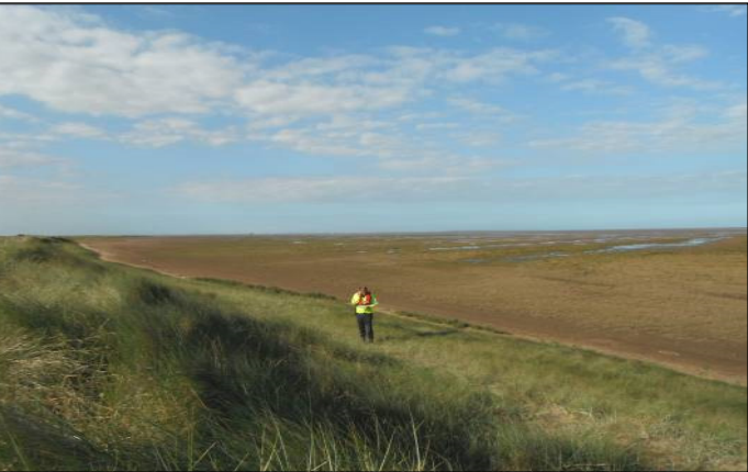
An archaeological evaluation comprising a walkover survey was undertaken in the intertidal zone adjoining Horseshoe Point, near North Cotes in East Lindsey, Lincolnshire. The survey area covered an area 500 m to either side of the route of the proposed Hornsea Wind Farm Project One onshore cable. The purpose of this survey was to inform the plannin...

Categories:
Archaeology
Onshore
Categories indicate the area of study or data type the series is associated with. For example, a survey carrying out grab sampling would have the category 'Benthic Ecology', while a desktop study exploring the impact of substation design on bird nesting would have the categories ' Birds, Engineering Design'
Available in this series:
Data Highlights
1
Datasets
1
Reports
1

Data Highlights


Explore the wealth of the data gathered in the 2012, RPS, Hornsea Project One - Heron Wind and Njord Ventus, Intertidal marine archaeology survey


4

An Archaeology Survey in Horseshoe Point