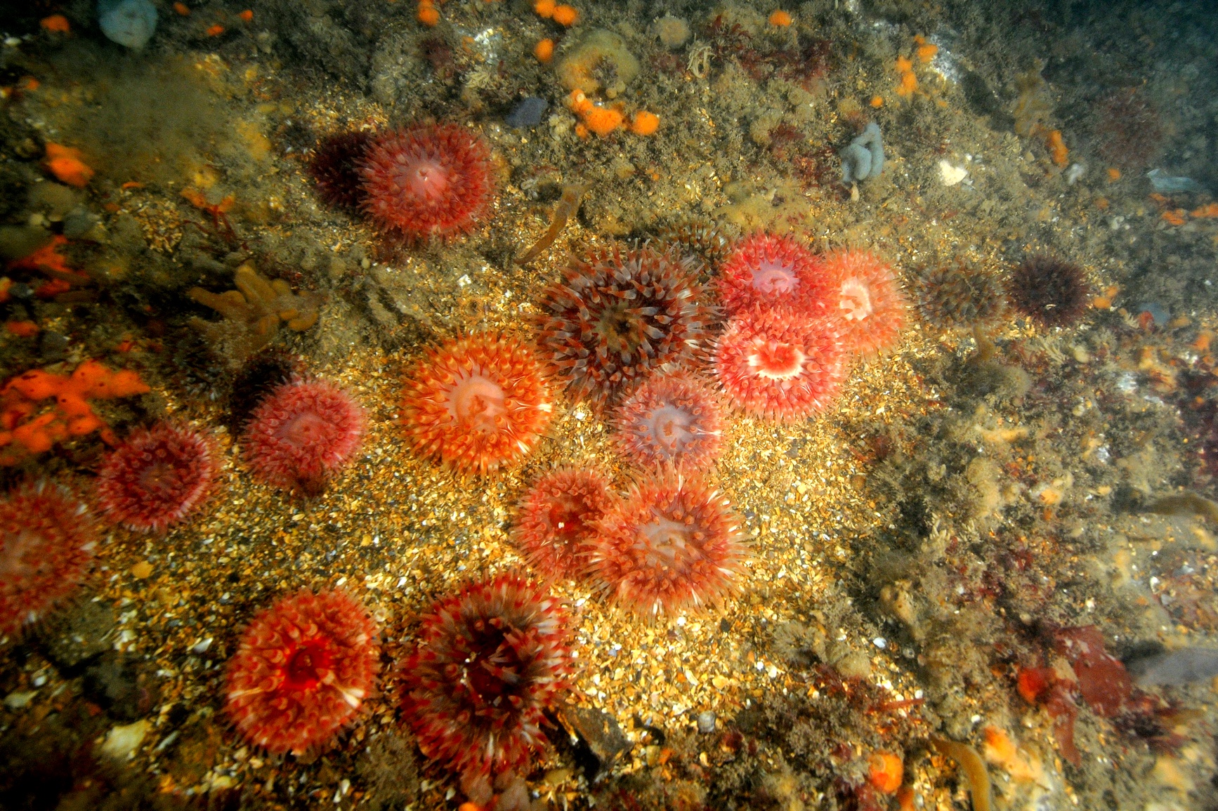
2005-2007, EMU, Kentish Flats, Macrobenthic Ecology Study

2005-2007, EMU, Kentish Flats, Macrobenthic Ecology Study

Powered by: TCE
Don't show this

What is a series page?

Download MEDIN file

Last series update:

August 2022

Collection date:

June 2005 - May 2007

The collection date represents the period of data collection or study duration. For example: '16/04/2015-05/05/2015'

Publication date:

August 2022

The publication date is the date the series was published on the Marine Data Exchange. For example: '23/04/2017'

Published by:

The Crown Estate

Summary

Kentish Flats Ltd (KFL) developed a Wind Farm within the outer Thames Estuary and offshore of north Kent. The site occupies an area of 10km2 and lies approximately 8.5km north of Herne Bay. The scheme is in response to authoritative licensing of Wind Farm developments, which are necessary to fulfil
government commitments to the increased exploitati...

Categories:
Benthic Ecology
Categories indicate the area of study or data type the series is associated with. For example, a survey carrying out grab sampling would have the category 'Benthic Ecology', while a desktop study exploring the impact of substation design on bird nesting would have the categories ' Birds, Engineering Design'
Available in this series:
Data Highlights
1
Reports
3

Data Highlights


Explore the wealth of the data gathered in the 2005-2007, EMU, Kentish Flats, Macrobenthic Ecology Study


5

Kentish Flats Windfarm Macrobenthic Ecology Study 2005-2007