
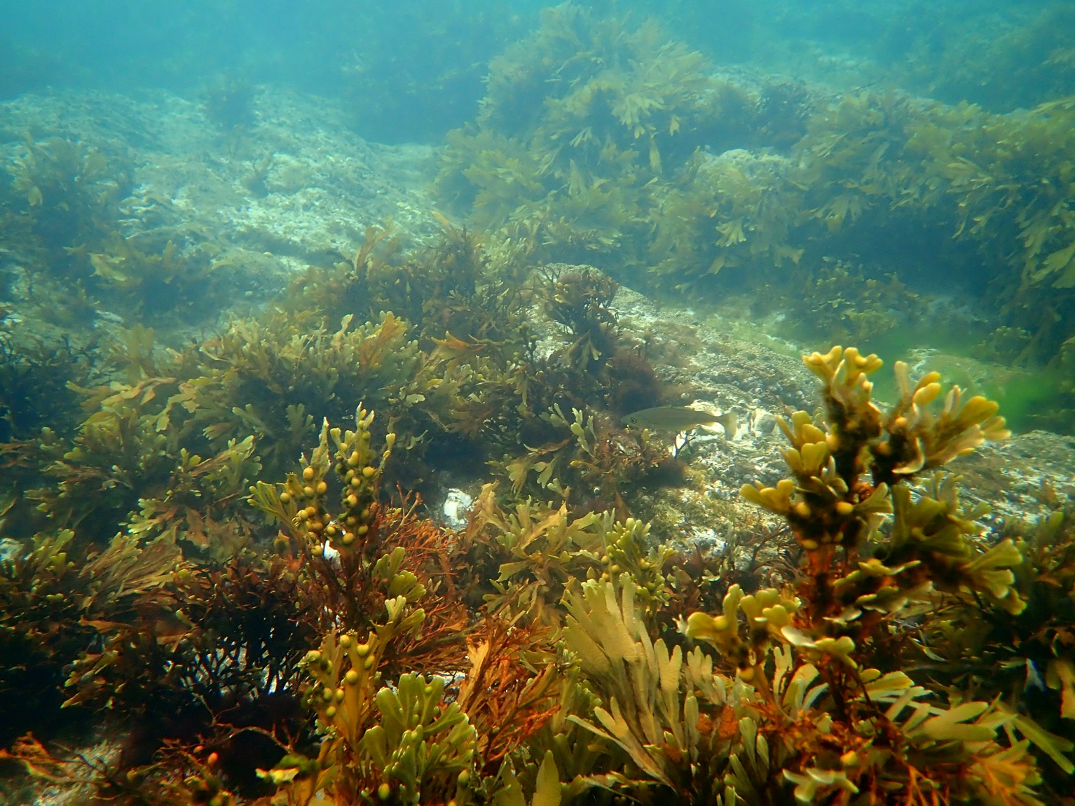
2014, RSK, Lincs, Saltmarsh Botanical Monitoring Survey

2014, RSK, Lincs, Saltmarsh Botanical Monitoring Survey

Powered by: TCE
Don't show this

What is a series page?

Download MEDIN file

Last series update:

March 2026

Collection date:

August 2014 - August 2014

The collection date represents the period of data collection or study duration. For example: '16/04/2015-05/05/2015'

Publication date:

May 2021

The publication date is the date the series was published on the Marine Data Exchange. For example: '23/04/2017'

Published by:

The Crown Estate

Summary

As part of the Marine Management Organisation (MMO), Lincs Marine Licence (Licence Number: L/2011/00111/8) and under Natural England request, RSK was commissioned by Centrica to undergo botanical surveys to monitor the recovery of saltmarsh vegetation affected following cable trenching operations associated with the Lincs Offshore Wind Farm. This r...

Categories:
Intertidal Ecology
Categories indicate the area of study or data type the series is associated with. For example, a survey carrying out grab sampling would have the category 'Benthic Ecology', while a desktop study exploring the impact of substation design on bird nesting would have the categories ' Birds, Engineering Design'
Available in this series:
Datasets
3
Reports
2

Deep dive in the data

Choose what you wish to look into:

Dataset

|

Report

|

Other

GIS Data

Photographs

Transect Data

GIS Data

As part of the Marine Management Organisation (MMO),  Lincs Marine Licence (Licence Number: L/2011/00111/8) and under  Natural England request, RSK was commissioned by Centrica to undergo botanical surveys to monitor the recovery of saltmarsh vegetation affected following cable trenching operations associated with the Lincs Offshore Wind Farm.  

This report presents the r...
Read More

Within this package:

Name
File Type
Size
Date

_metadata

17 May 2021

855578-Fig1-Walkover Survey

.mxd

1.05 MB

7 May 2021

855578-Fig10-Transect 7 Quadrats

.mxd

1.21 MB

7 May 2021

855578-Fig2-Transect Quadrats

.mxd

1.04 MB

7 May 2021

855578-Fig3-Pool Survey

.mxd

1.14 MB

7 May 2021

855578-Fig4-Transect 1 Quadrats

.mxd

1.21 MB

7 May 2021

855578-Fig5-Transect 2 Quadrats

.mxd

1.21 MB

7 May 2021

855578-Fig6-Transect 3 Quadrats

.mxd

1.21 MB

7 May 2021

855578-Fig7-Transect 4 Quadrats

.mxd

1.21 MB

7 May 2021

855578-Fig8-Transect 5 Quadrats

.mxd

1.21 MB

7 May 2021

855578-Fig9-Transect 6 Quadrats

.mxd

1.21 MB

7 May 2021

GIS Layers

.z01

1000.00 MB

7 May 2021

GIS Layers

.zip

222.28 MB

7 May 2021