
2012, Osiris Projects, Inch Cape Offshore Wind Farm, Export Cable Route and Landfall Surveys
Summary
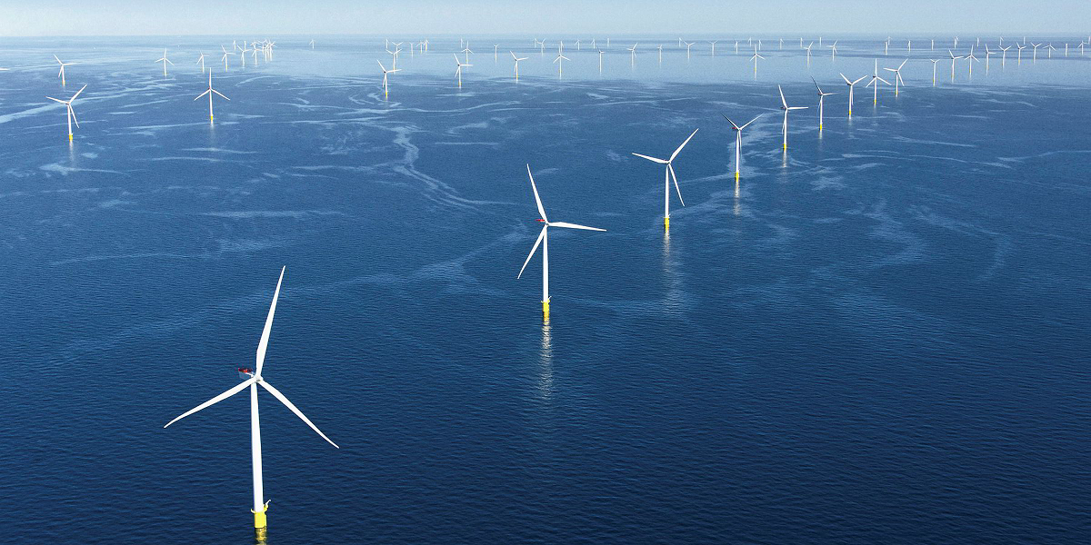
Osiris Projects were commissioned by Inch Cape Offshore Limited (ICOL) to carry out a geophysical and geotechnical survey of the proposed export cable landfall corridors for the Inch Cape Offshore Wind Farm (ICOWF). The ICOWF site was awarded in 2009, under the Crown Estate’s Scottish Territorial Waters Leasing programme. The proposed wind farm is located in the outer Firth of Tay, approximately 15 - 22km east off the Angus coastline. A total of 180 wind turbines have been proposed over an area of about 150 km2, with an estimated installed capacity of 1,000 MW and a potential yield of over 3,000 GWh per year. As part of the development, an export cable will be installed from the site to one of three possible landfall locations at Cockenzie, Seton Sands or Gullane, on the Lothian coast. Initially, a combination of geophysical and geotechnical survey techniques were required on three potential landfalls (base scope), with a possible fourth potential landfall added during the survey as a contract variation. The additional corridor was located at Seton Sands.
Data & downloads
Datasets