2011, GL Gerrad Hassan, Argyll Array, Metocean Instrument Recommendations and Foundation Mapping

2011, GL Gerrad Hassan, Argyll Array, Metocean Instrument Recommendations and Foundation Mapping

Powered by: CES
Don't show this

What is a series page?

Download MEDIN file

Last series update:

September 2024

Collection date:

January 2011 - March 2011

The collection date represents the period of data collection or study duration. For example: '16/04/2015-05/05/2015'

Publication date:

May 2021

The publication date is the date the series was published on the Marine Data Exchange. For example: '23/04/2017'

Summary

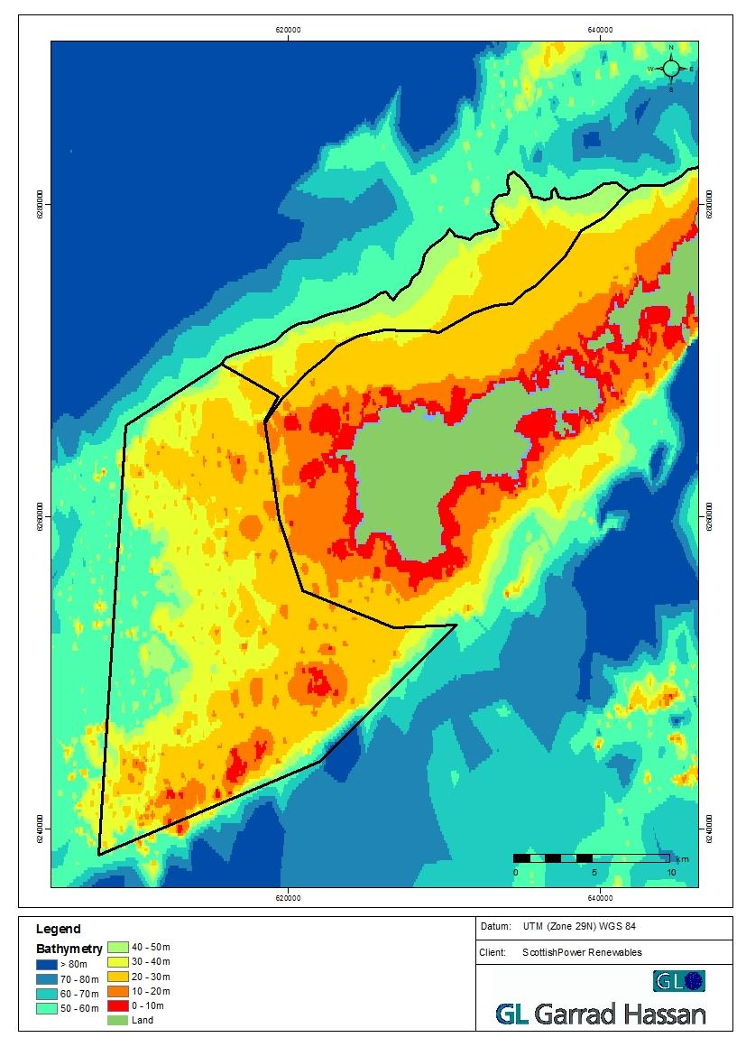
ScottishPower have appointed GL Garrad Hassan (GLGH) to recommend appropriate locations for the acquisition of wave and current data and to provide constraint maps for foundations in the area by analysing bathymetry data provided by ScottishPower. The data provided in this series is as a guidance and not intended to be used to any certain accuracy.

Categories:
Geophysical
Metocean
Categories indicate the area of study or data type the series is associated with. For example, a survey carrying out grab sampling would have the category 'Benthic Ecology', while a desktop study exploring the impact of substation design on bird nesting would have the categories ' Birds, Engineering Design'
Available in this series:
Data Highlights
1
Datasets
1
Reports
1

Data Highlights


Explore the wealth of the data gathered in the 2011, GL Gerrad Hassan, Argyll Array, Metocean Instrument Recommendations and Foundation Mapping


5

Argyll Array Metocean Instrument Recommendations and Foundation Constraint Mapping