
2010, Food and Environment Research Agency (FERA), Argyll Array, Bird Detection Radar Migration Monitoring
Summary
Data & downloads
Datasets
Data Highlights
Related Pages
2014, RPS, Argyll Array, Habitat Regulations Assessment - Screening for Likely Effects
A HRA comprises a series of up to 13 sequential stages as identified by Scottish Natural Heritage (SNH) and outlined in Figure 1. The outcome from Stage 1 has already been determined – in part based on a recent Strategic Environmental Assessment by Marine Scotland (2010b) which identified the potential for a significant effect on sites designated for their nature conservation interest at a European Level, due to proposed offshore wind energy projects in Scottish Territorial Waters. As part of this process, the Argyll Array Offshore Wind Farm was identified as one of the short-term options for offshore wind energy where such effects may occur, thereby requiring further consideration in the HRA process. This report therefore considers Stages 2 to 7 which represent the ‘screening’ of identified European sites and features. The purpose of these stages is to: - Identify all aspects of the plan or project which would not be likely to have a significant effect on a European site, either alone or in combination with other aspects of the same plan or other plans or projects, so that they can be eliminated from further consideration; and - Identify those aspects of the plan or project where it is not possible to rule out the risk of likely significant effects on a European site, and thereby provide a clear scope for the parts of the plan that will require ‘Appropriate Assessment’
 Series
2013, SMRU Ltd, Argyll Array, Environmental Statement
The potential environmental effects of the Argyll Array development will be identified as part of the Environmental Impact Assessment (EIA), and the developer will seek to avoid, reduce or offset any adverse effects through mitigation measures. The EIA process runs in conjunction with the design of the project such that once potential impacts are identified, the design of the project will be adjusted and mitigation measures proposed accordingly. An integral part of any EIA is an appreciation of the baseline status of the ecology within the area, including designated species and/or habitats. This document presents a review of current knowledge regarding the basking shark Cetorhinus maximus in the vicinity of Argyll Array; including an overview of the species biology, ecology and conservation status, as well as a more detailed review of several pieces of recent and current research. Additionally, the findings of the boat-based surveys commissioned for Argyll Array in relation to basking shark sightings patterns. Using the review and the analyses herein, a detailed impact assessment for basking sharks around the Argyll Array wind farm development is presented.
 Series
2012, Cathie Associates, Argyll Array, Geophysical Survey Interpretation
The British Geological Survey (BGS), on behalf of Marine Scotland, has recently undertaken a geophysical survey within Scottish Territorial Waters. Sections of this survey covered part of the Argyll Array intended wind farm site area and ran along sections of the 2No potential export cable routes. An overview of the proposed windfarm development and the location of the geophysical survey lines commissioned by Marine Scotland are presented in Drawing C256 T03-D01. Cathie Associates (CA) was commissioned by SPR to undertake detailed processing and interpretation of the available raw survey data. Marine Scotland’s Survey only covered the central part of the wind farm area and certain sections of the 2No export cable route options. Therefore, this technical note only discusses the interpreted geological information from the available survey data across the wind farm site.
 Series
2012, NIRAS, Argyll Array Offshore Windfarm, Shadow Assessment
Scottish Power Renewables (SPR) have elected to undertake a shadow assessment of potential effects of AAOWF on sites in Scottish inshore waters which, in the future, may possibly be designated as Special Protection Areas (SPAs) for overwintering great northern diver. In this report, particular reference is made to the waters around Coll & Tiree, which support internationally important numbers of great northern diver, and which are in closest proximity to the AAOWF site.
2012, Highlands and Islands Enterprise, Argyll Array, Tiree Community Growth Plan
The Island of Tiree’s community has been selected as an area where enhanced support under a new approach called Growth at the Edge/Fas aig an Oir can achieve innovative and sustainable community development. This approach is being developed by Highlands and Islands Enterprise (HIE), and is designed to support the most remote and disadvantaged communities within the HIE area. This contains the growth plan and costing report.
 Series
2012, BGS, Argyll Array, Marine Geosciene Programme (Multibeam and Boomer)
Marine Scotland, the British Geological Survey and the Northern Lighthouse Board have entered into a collaborative Memorandum of Understanding (MoU). These MoUs provide the basis for the collaborative survey of Scotland’s seas in order to further our understanding of Scotland’s marine environment, increase the efficiency of use of public resources, enhance the safety of those at sea and contribute too new policy priorities such as marine protected areas, wider conservation measures, marine planning and renewables. This report details a marine survey undertaken by the British Geological Survey (BGS) on behalf of Marine Scotland, utilising the Northern Lighthouse Board Vessel the NLV Polestar from the 23rd of July to 6th of August 2012. The report details the operational aspects of the survey to the South West of Tiree using Surface Tow Boomer (STB) and Multibeam Echosounder (MBES) equipment. There is no geological interpretation of the data. The BGS staff involved were: Rhys Cooper; Kirstin Crombie; Simon Ritson; David Wallis and contract Hydrographer Gillian Horner.
 Series
2012, RPS, Argyll Array, Basking Shark Survey
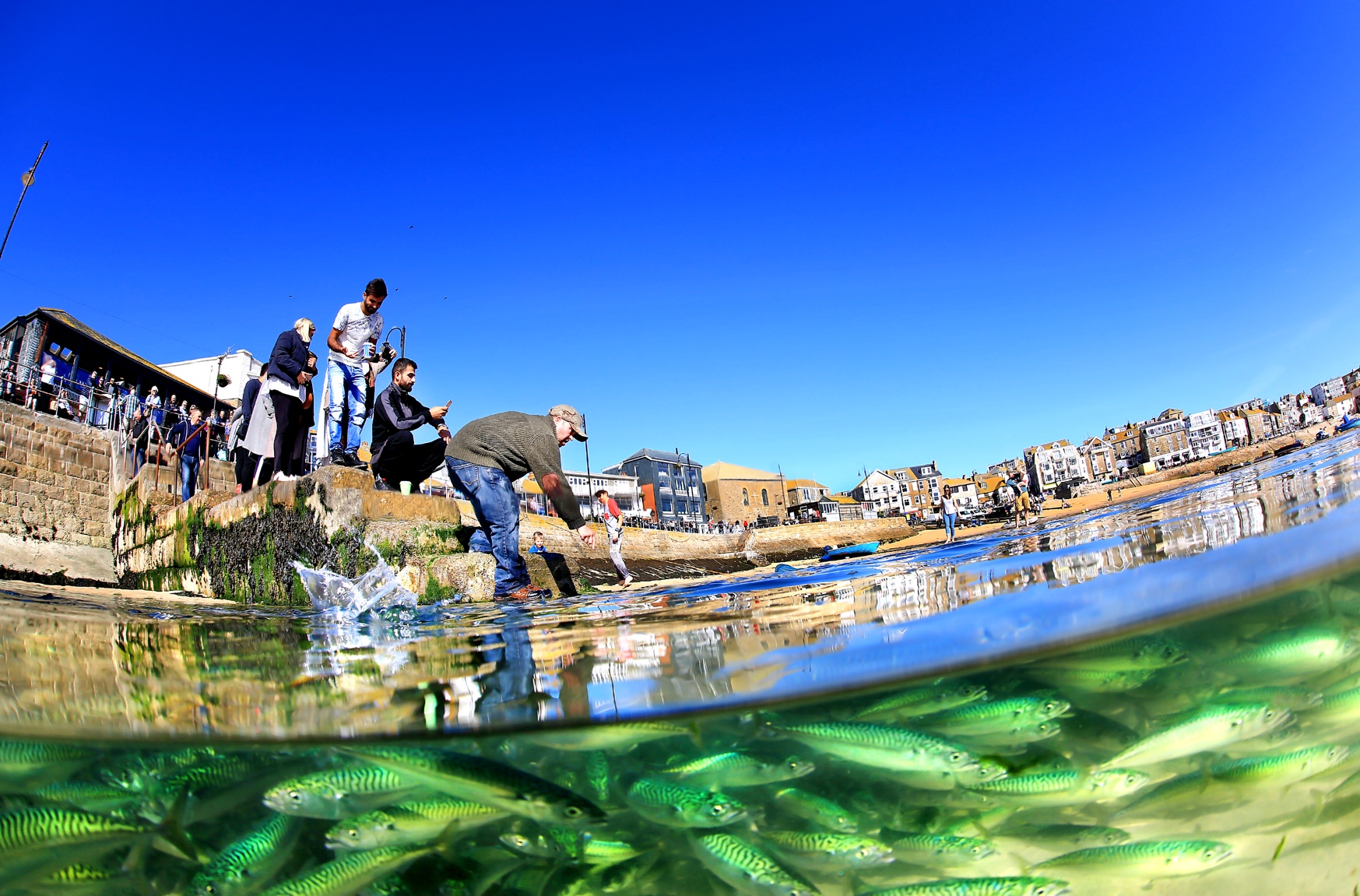
RPS carried out a basking shark survey in 2012, collecting details of behaviour, size band, aggregation numbers, distance and heading. Details are also recorded for other species such as harbour porpoise and detailed weather logs are maintained. Although no report was completed for this study, this series contains .xls, JPEG, tect and GPX files.
 Series
2012, Scottish Power Renewables, Argyll Array, Basking Shark Workshop
Scottish Power Renewables held a workshop to discuss the presence of basking sharks at Argyll Array Offshore windfarm, and requirements to progress. Attendees included APEM, Marine Scotland and Scottish Natural Heritage.
 Series
2012, Xero Energy, Argyll Array, Connection Solution and Route Design - Onshore and offshore cables
XE has been contracted as the electrical consultant to assist the process in determining the optimal electrical transmission solution and cable route for the grid connection of AAOWF. This work has been done in coordination with Royal Haskoning (RH) as the environmental consultant assessing the environmental constraints, and with Engineering Technology Applications (ETA) providing input on offshore seabed conditions, landfall conditions and subsea cable installation.
 Series
2012, Marico Marine, Argyll Array, Navigational Assessment
ScottishPower Renewables (UK) Ltd (SPR) is proposing to develop a wind farm, named Argyll Array, located in the vicinity of Tiree, Scottish Inner Hebrides. In order to determine the safe construction, operation, and decommissioning of the proposed development, an assessment of vessel navigation is required. The assessment will include collecting and analysing data on shipping passing within and in the vicinity of the proposed wind farm site. SPR commissioned Marine & Risk Consultants Limited (Marico Marine) to provide a qualified and experienced marine consultant to lead the impact assessment of the proposed site with respect to shipping and navigation.
 Series
2012, Marico Marine, Argyll Array, Navigation Risk Assessment Winter Traffic Survey
Vessel position data recorded by AIS and Radar during a Marico Marine survey between 1st February 2012 and the 17th February 2012. Survey conducted as part of the Argyll Array Navigation Risk Assessment for ScottishPower Renewables. Data representative of "Winter" seasonal traffic in compliance with MGN 371(M+F).
2012, Ironside Farrar, Argyll Array, Tiree Onshore Scenario Mapping, Socio-Economic Impacts
This study seeks to better understand the potential Operational and Maintenance (O&M) implications associated with the proposed development of an offshore windfarm off the coast of Tiree. The study has sought to capture views of stakeholders on the potential issues associated with Operations and Maintenance support related to the proposed Argyll Array.