
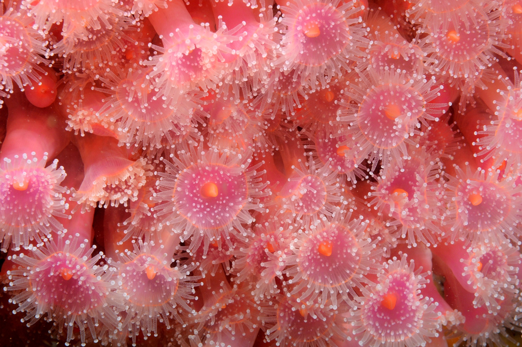
2006, Envision, Race Bank and Docking Shoal, Video Survey across the Wash Cable Corridor
Summary
Data & downloads
Datasets
Related Pages
 Series
2010, Wessex Archaeology, Race Bank and Docking Shoal, Marine Geophysical Data and Archaeological Impact Assessment
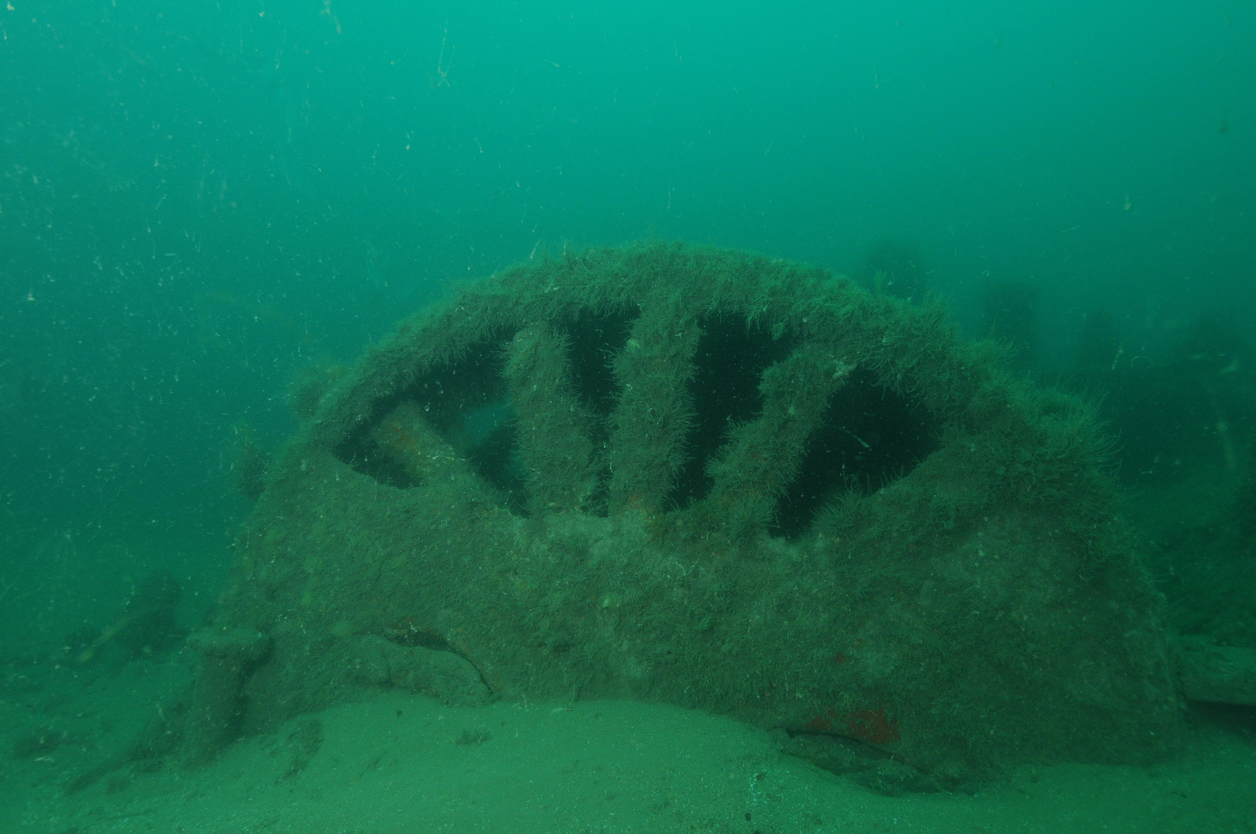
Wessex Archaeology was commissioned by AMEC Power and Process Europe, on behalf of Centrica Renewable Energy Limited to undertake an archaeological interpretation of marine geophysical data for the three proposed additional areas of Race Bank and Docking Shoal Offshore Wind Farms, associated with the export cable routes. This report comprises the interpretation of multibeam bathymetry, magnetometer and sidescan sonar data and an archaeological impact assessment covering the additional areas, and is in addition to and informed by the archaeological and impact assessments of the wind farms and cable routes conducted previously.
 Series
2009, EMU, Race Bank and Docking Shoal, Geophysical Surveys of Additional Areas in The Wash to Inform the Offshore Cable Route
Preliminary engineering design work and discussions with stakeholders highlighted a number of issues relating to the cable corridor and the indicative cable routes submitted in the original consent applications for both the proposed Docking Shoal and Race Bank Offshore Wind Farms. Three additional seabed areas were surveyed to allow minor alterations to the original cable routes. EMU Ltd undertake a full acoustic survey with ground-truthing, to determine benthic habitats, bathymetry, topography, subsurface geology and the locations of any magnetic anomalies within these areas.
 Series
2008-2009, Centrica Energy, Race Bank and Docking Shoal, Population Viability Analysis of the North Norfolk Sandwich tern
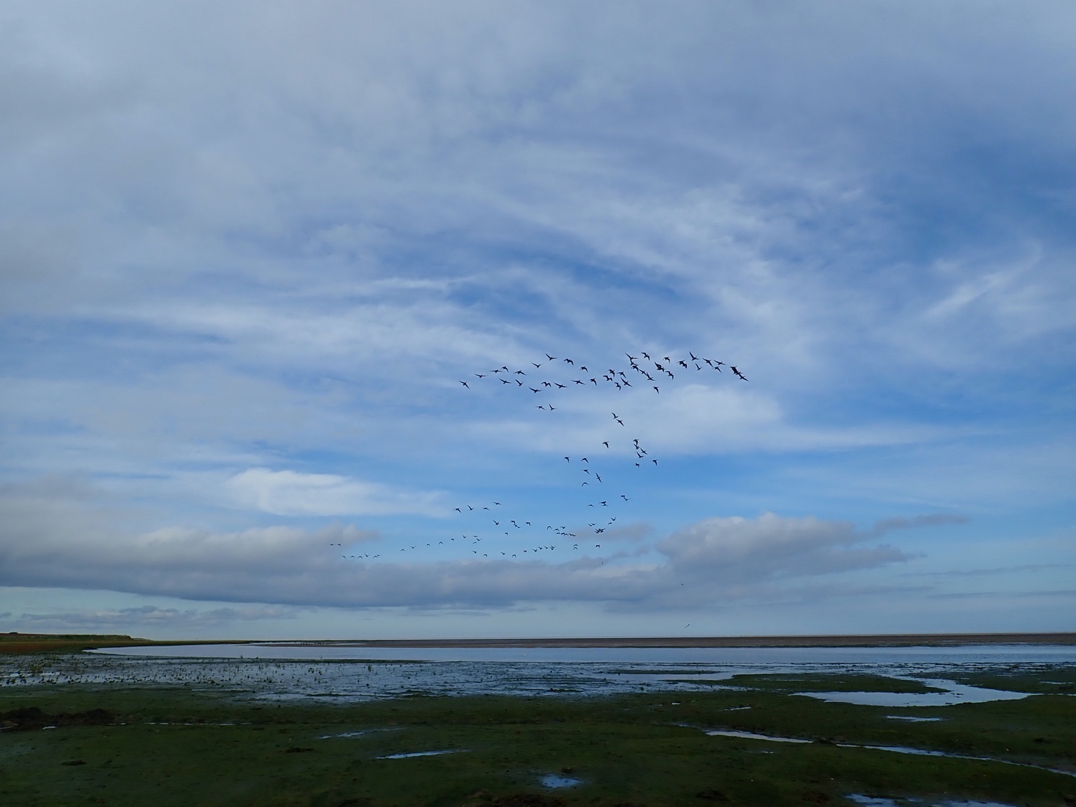
A population viability analysis of the North Norfolk Sandwich tern (Sterna sandvicensis) population was undertaken by Centrica Renewables at the request of Natural England, to understand potential impacts of estimated collision at Centrica’s Docking Shoal and Race Bank proposed offshore wind farms in the Greater Wash, with a third consented site, Sheringham Shoal (SCIRA) included in background mortality. The model developed specifically for the purpose, ViaPop, is an individual-based model with the potential to understand the relative effects of different population parameters (ie sensitivity analysis) at greater depth and sophistication than an off-the-shelf package. Population parameters were determined directly from the data on the relatively well-studied north Norfolk colonies coupled with estimates of some parameters from the literature, with estimates of survival rate determined by a specific analysis of British Trust for Ornithology ring recovery data. A project board of experts in the field approved the use of the different parameters used in ViaPop. The analysis was presented as suplementary information to the environmental statement.
 Series
2006, EMU, Race Bank and Docking Shoal, Macrobenthic Ecology Surveys of the Associated Cable Route Corridor
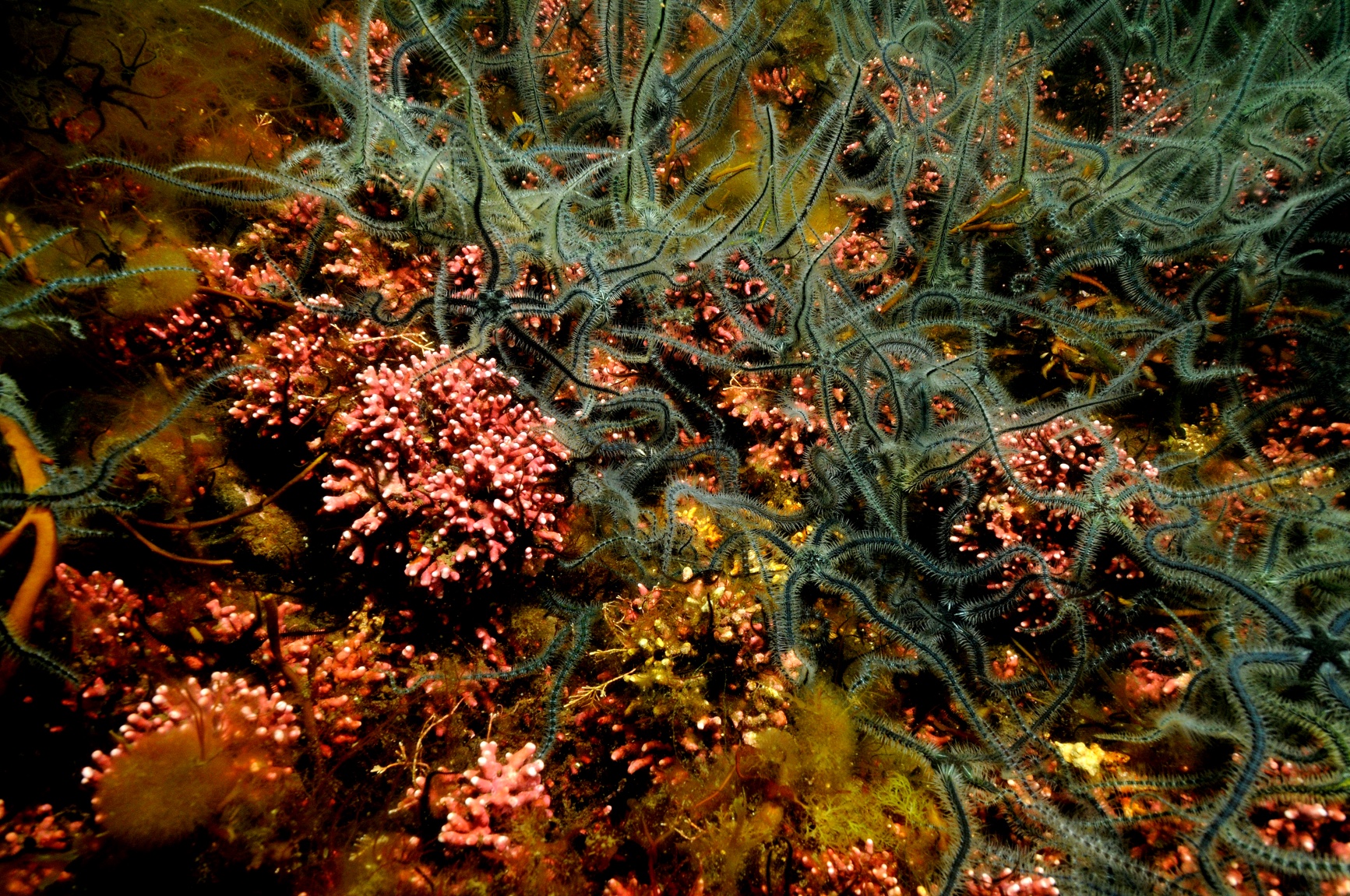
In support of the planned Round 2 offshore wind farm developments at the Greater Wash Strategic Area, Centrica Renewable Energy Ltd. (CREL) commissioned Emu Ltd. (Emu) to undertake benthic ecological studies along the proposed route of the associated cable corridor within the Wash region, North Norfolk. The studies included the collection of video footage of the seabed to identify potentially sensitive ecological features, and subsequent seabed sediment and water sampling with the use of remote operated grab samplers and water collectors at pre-determined sample locations distributed throughout the Wash region. Due to the turbidity of the water the underwater camera system was placed within abespoke water filled box with a transparent base. This arrangement permitted a clear column of water between the camera lens and the seabed ensuring good data collection in poor visibility conditions. The intention of the studies was to characterise the benthic conditions along the proposed route of the cable corridor and close environs for the purposes of informing the planning and design processes of the construction phase and to support the associated Environmental Statement. This report within this series presents the results of the ecological studies and describes the current condition as regards the benthic habitats and associated macro-invertebrate communities within the study area.
 Series
2005 - 2006, Emu Ltd and Osiris Projects, Race Bank and Docking Shoal, Geophysical Investigations at the Proposed Wind Farm Sites with Associated Cable Route Corridors
A major hydrographic and geophysical survey has been undertaken over a large area off the north Norfolk and east Lincolnshire coasts. This area covers much of the Race Bank and Docking Shoal sand banks, where two offshore wind farms are proposed. Additional surveys were carried out within The Wash, in order to find suitable export cable routes from the proposed development areas to the mainland. A joint venture proposal to carry out the above surveys was put together by Emu Ltd and Osiris Projects and accepted by Centrica Renewable Energy Ltd, with the surveys being carried out during the period 19th November 2005 to 11th September 2006, using Osiris Projects’ own survey vessels MV ‘Freja’ and MV ‘Lia’, together with Emu Ltd’s vessels MV ‘Emu Surveyor’ and MV ‘Morven’. The primary objectives of the survey were to acquire swath bathymetry, seabed features and sub-bottom profiling data across the area. This included the use of acoustic ground discrimination systems (AGDS), in order to define areas of similar sediment type and sensitive habitat features, by utilising the primary and multiple returns from high frequency echo sounders. By overlaying information on biological communities from the grab surveys, a ‘biotype’ map could be produced to show the different habitats and species over the area surveyed.