

2010-2011, FERA, Skerries, Ornithological Survey
Summary
Data & downloads
Reports
Data Highlights
Related Pages
 Series
2014, SMRU Marine, Skerries, Marine Mammal Monitoring
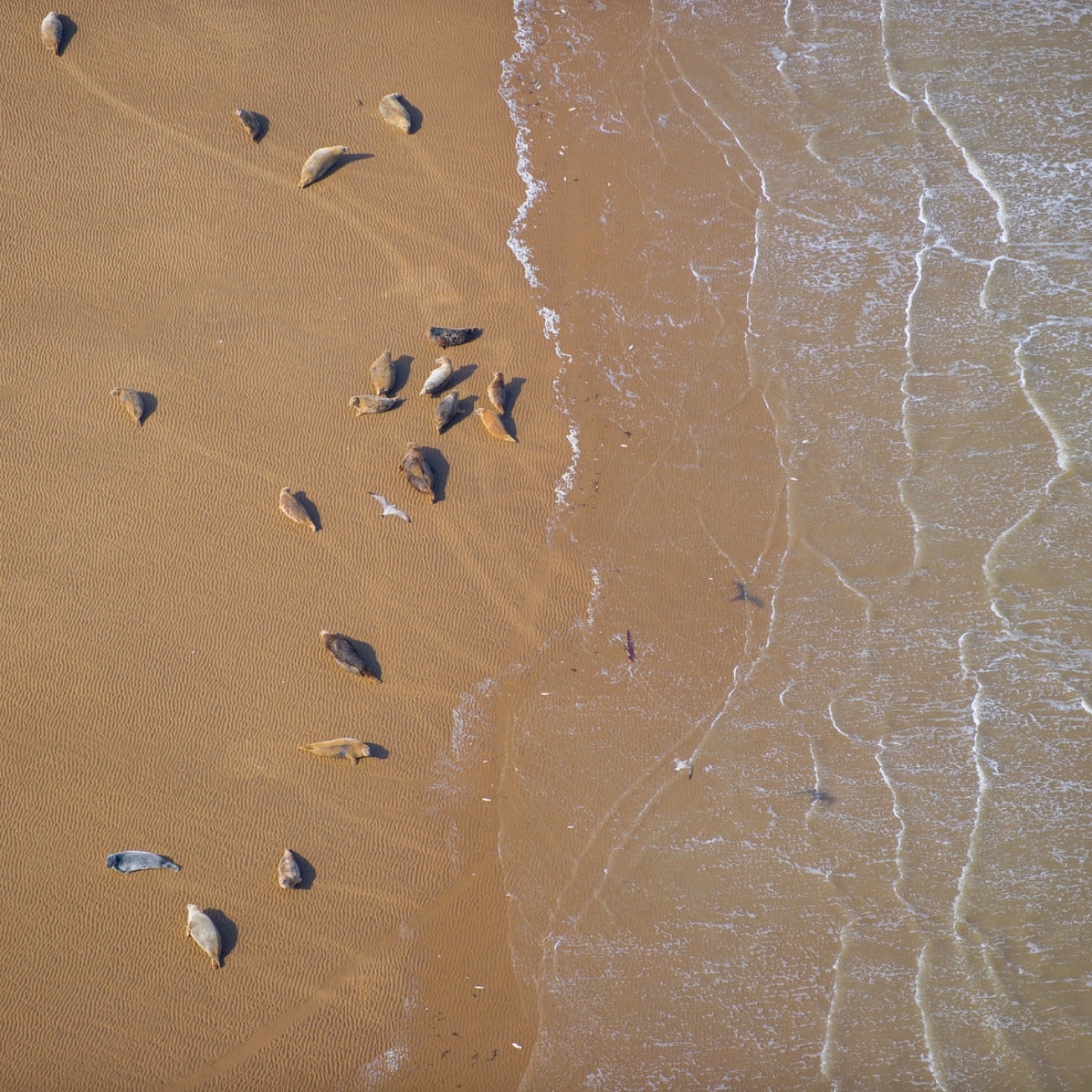
There is a range of monitoring methodologies available for monitoring marine mammals at marine renewable energy sites (Macleod et al. 2011; Sparling et al. 2011). However, the location and scale of the Anglesey Skerries Tidal Array Project site presents a particular set of challenges with respect to collecting marine mammal data. Traditional vessel based line transect surveys do not yield data of sufficient spatial and temporal resolution to fully inform questions of risk relating to a project of this scale nor provide a suitable baseline against which to measure change given the resolution of sampling and the likely natural variation. Additionally vessel based line transect surveys are generally not feasible year round given expected weather conditions and wave climate at such an exposed site. Static PAM methods are a challenge in highly noisy and energetic areas such as tidal sites and only appropriate for echolocating cetaceans and are not suitable for monitoring seals. However, since the development area is just under two kilometres from shore it is also not optimal for shore based vantage point surveys. In order to assess whether shore based data collection methods would be suitable for pre-installation monitoring at the Skerries site, a land-based vantage-point (VP) transect survey trial was implemented to determine if recent advances in vantage point methods and analytical approaches could provide sufficient data to meet the monitoring objectives set out in the EMAMP.
 Series
2014, Natural Research Projects, Skerries, Seabird Pilot Study
SeaGeneration Wales (SGW), a wholly owned subsidiary of Marine Current Turbines, is required to undertake pre-installation monitoring of seabirds in the vicinity of the Skerries Tidal Stream Array (the Project) off Anglesey. This 10MW tidal stream project received consent in 2012 but installation work has not yet commenced. A requirement of the Marine Licence is that undertake appropriate pre-installation monitoring. The wider programme of monitoring work is considered in detail in the project’s environmental monitoring and adaptive management plan (EMAMP) (MCT, 2014). The ornithological aspects of the EMAMP are set out in detail in the Seabird Monitoring Plan (SBMP) contained therein and this describes the seabird monitoring required to meet the Marine Licence consent conditions, this includes the undertaking of pre-installation seabird monitoring. It was agreed by the Skerries Science Group in February 2014 that the initial phase of the pre-installation monitoring would be to undertake a 4-month vantage point pilot survey to trial survey methods for pre-installation bird surveys to understand if the VP methodology can acquire appropriate data.
 Series
2013, RHDHV, Skerries, Desk-based Assessment of Cable Route 3 and Landfall L3
SeaGeneration (Wales) Ltd. has appointed Royal HaskoningDHV (RHDHV) to undertake a desk-based assessment of the effects on the coastal and seabed physical processes and geomorphology of a proposed export cable route and cable landfall associated with The Skerries Tidal Stream Array. Using a desk-based assessment, the ES assessed the effects of these two cable routes and cable landfalls on the coastal and seabed physical processes and geomorphology over different spatial and time scales. The significance of the effect was then defined as either 'major', 'moderate', 'minor', or 'negligible' according to a ranking matrix which combined the magnitude of change with the sensitivity of the receptor. Please note Appendix A "Geophysical Survey Charts for Corridor of Cable Route 3 and Landfall L3" are present in a separate series - "2013, Osiris Projects, Skerries Tidal Array, Geophysical Survey".
 Series
2013, Marine and Risk Consultants Ltd., Skerries Tidal Site, Navigation Risk Assessment of L3 Cable Route and Landfall for Skerries Tidal Array
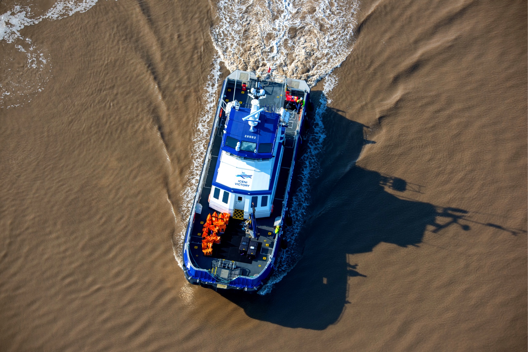
This study assesses the navigational risk of installing an export cable route from the Skerries Tidal Array and complements the existing Navigation Risk Assessment. The assessment was undertaken utilising the Formal Safety Assessment approach adopted by the International Maritime Organisation. The analysis utilised a number of data sources including vessel traffic surveys, records of consultation with relevant stakeholders undertaken during the Navigation Risk Assessment and a desktop literature review.
 Series
2013, Wessex Archaeology, Skerries, Cable Route Archaeological Assessment of Geophysical Data
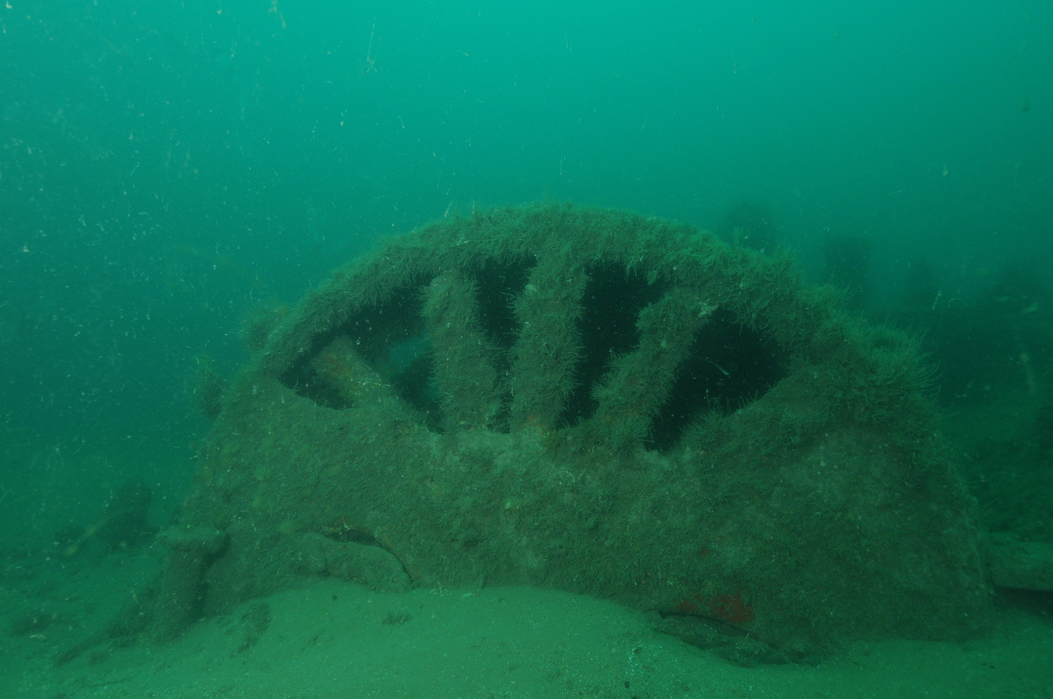
Wessex Archaeology was commissioned by Marine Current Turbines Ltd. to undertake an archaeological assessment of geophysical survey data along a proposed cable route running to the Skerries Tidal Stream Array from Cemaes bay in Anglesey. The data consisted of sub-bottom profiler, sidescan sonar, magnetometer and multibeam bathymetry data acquired by Osiris Projects in April 2013. The review included an assessment of these data informed by past work conducted by Wessex Archaeology for the scheme in 2009.
 Series
2013, Helix Canyon, Skerries, Geotechnical Site Investigation
Canyon Offshore Limited (COL) conducted this Geotechnical Site Investigation utilising the ROVDrill MK2.1 system on behalf of Marine Current Turbines (MCT), with Gardline Geosciences providing Geotechnical services and reporting, including borehole management planning. The site survey comprised seabed video and geotechnical rock coring boreholes utilising Canyon’s ROVDrill Mk2.1 Subsea drill unit with Gardline Geosciences providing Geotechnical services and reporting.
 Series
2013, Osiris Projects, Skerries, Geophysical Survey
The objective of the survey was to provide high quality bathymetric, backscatter, subbottom data and sonar imagery across the turbine area, cable route and landfall site, for the evaluation and interpretation of: Shallow geology and seabed features. Benthic habitat and epifauna. Bedrock at turbine locations to a target penetration of 20m below seabed. In particular: o Presence or absence of faulting over the 20m interval o Rock mass characteristics, internal horizons and vertical extent of weathered/fractured zones. Areas for known, unknown and potential archaeological material as part of the Marine Archaeological EIA work. In addition, video camera imagery was collected to ground truth the interpretation of suspected Annex 1 habitats at selected locations across the turbine area, cable route and landing site. A beach topographic survey was carried out using RTK positioning within the intertidal zone, with an air lancing technique used to ascertain beach sediment thicknesses. As a separate exercise, magnetometer data was acquired within the Cemaes Bay area to locate the extents of an existing, charted sub-sea cable, which is believed to cross the proposed L3 corridor. Please note the video survey report and data are provided in a separate series, titled '2013, Centre for Marine and Coastal Studies Ltd. CMACS, Skerries Tidal Site, Benthic Survey'.
 Series
2013, CMACS, Skerries, Benthic Survey
CMACS Ltd was contracted to provide environmental characterisation surveys and impact assessment of the marine habitats and communities surrounding the installation of tidal power electricity generators and associated export cables at the Skerries, Anglesey as part of intertidal surveys between 1996 and 2004 that mapped the intertidal zone of the whole Welsh coast. The survey was carried out in March 2013, which is earlier than guidelines recommend but was necessary owing to the project schedule. There are anticipated consequences. The report provides the results of the survey and takes into account the late-winter timing of the survey when making comparisons to existing information
Series2012, Marine and Risk Consultants Ltd., MARICO, Skerries Tidal Site, Navigation Risk Effects
The proposed Skerries tidal array has been through a number of design changes in layout and geometry, having moved from the original licence site. The reason for this study is to update the Navigation Risk Assessment accordingly. This report reviews the original NRA against the latest positioning of the proposed array. The revision of layout to five rather than nine turbine structures must innevitably reduce interaction with other craft. The presence of the array closer to a known dangerous wreck should have a beneficial effect in providing additional visual reference in the sea area.
 Series
2012, HR Wallingford, Skerries, Follow-up to 2009 Metocean Study
This study was conducted in accordance with the approach discussed with MCT for directional wave extremes. It is noted that the analysis presented in this document relies on existing data only. No additional metocean modelling was carried out. The report covers the analysis performed at a key location within the proposed Skerries tidal array site. The derivation of conditional wave extremes is detailed in Section 2; and the results of this analysis are presented in Tables 1-4. The derivation of directional wave climates is introduced in Section 3 with the main results presented in Tables 7-14.
 Series
2012, Partrac, Skerries, Metocean Survey
Partrac Ltd was contracted by Marine Current Turbines to undertake collection of metocean data (currents, waves and water level) in a region known as The Skerries off north Anglesey. Five precise locations were chosen for the deployment of metocean monitoring equipment. Five instrumented, ballasted bed-frames each comprising either a 600 kHz or a 300 kHz RDI acoustic Doppler current profiler (ADCP), were deployed at the five sites over two periods, at the end of February and at the end of March 2012. Recovery operations were completed after a minimum 31 days of monitoring, again over two periods at the end of March and early May 2012.
Series2011, Project Management Support Services, Skerries, Environmental Statement
SeaGeneration (Wales) Ltd (SeaGen Wales), a partnership of Marine Current Turbines Ltd (MCT) and RWE npower Renewables (RWE nrl), is submitting an application for the offshore consents necessary to construct and operate a 10 megawatt (MW) rated capacity demonstration array of tidal stream turbines. The Skerries Tidal Stream Array, hereafter referred to as the Project, is to be situated 850m off the north coast of Anglesey in a tidal race area known as the Skerries. The Environmental Statement (ES) presents the findings of the detailed Environmental Impact Assessment (EIA) that has been carried out for the Project. The assessment work has covered all of the potential impacts of the Project on the surrounding environment and has been carried out by a team of leading environmental specialists. Planning permission for the onshore aspects of the development will be sought at a later date from the Isle of Anglesey County Council and therefore the outline details only of these aspects are included within the Environmental Statement.