

2016, Bibby HydroMap, Teesside, Geophysical Survey
Summary
Data & downloads
Datasets
Related Pages
 Series
2017, Bibby HydroMap, Teesside, Geophysical Surveys
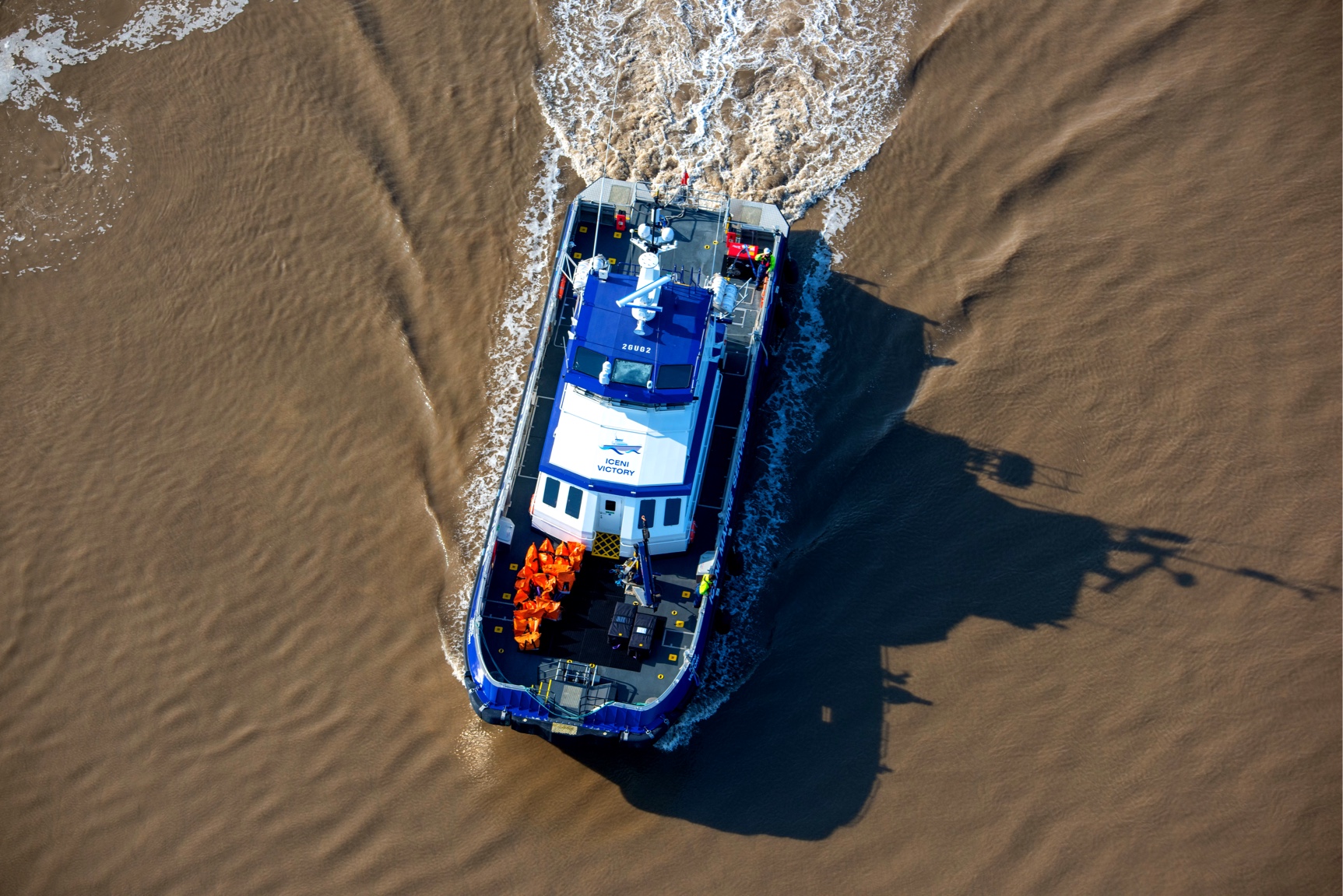
Bibby HydroMap were commissioned by EDF Energy Renewables, in July 2017, to undertake a 350m x 350m debris survey around turbine 14B on the Teesside Offshore Wind Farm (OWF), prior to the emplacement of a jack‐up rig on the site. Once mobilised, the client also requested a further survey of the remainder of the wind farm site. The location of the windfarm is presented in Figure 1, below and the relevant turbine identified. The survey was completed under Bibby HydroMap’s Terms and Conditions and was carried out between 24/07/2017 and 30/07/2017. The main objective of the surveys was to identify any object or conditions, which may constrain the emplacement of the jack‐up rig.
 Series
2016, Bibby HydroMap, Teesside, Operations and Maintenance Geophysical Surveys
Bibby HydroMap were commissioned in September 2016 by EDF Energy Renewables to carry out geophysical and high resolution surveys of Teesside Offshore Wind Farm (OWF) as part of ongoing monitoring of the site. The survey was completed under Bibby HydroMap’s Terms and Conditions. The survey was carried out between 07/09/2016 and 12/09/2016.
 Series
2015-2023, Dulas, Teesside, Meteorological Mast
This series contains all data and information from the Teesside Offshore Wind Farm met mast. The met mast was commissioned on 10th September 2015 and is managed by Dulas on behalf of EDF Energy Renewables.
Series2015, Bibby HydroMap, Teesside, Geophysical Surveys (Autumn)
Bibby HydroMap were commissioned in September 2015 by EDF Energy Renewables to carry out geophysical and high-resolution bathymetric surveys of Teesside Offshore Wind Farm (OWF) as part of ongoing monitoring of the site. The surveys were carried out between 8th and 22nd September 2015. The main objectives of the survey were as follows: - Monitor the state of the seabed - Identify any seabed debris - Identify areas (if any) of sediment accretion or scour - Produce high resolution images of the turbine bases
 Series
2015, Osiris Projects, Teesside, Geophysical Survey (Spring)
Teesside Offshore Wind Farm (OWF) is a 62 MW site comprised of 27 turbines, owned and operated by Teesside Windfarm Limited (TWL). Osiris Projects were contracted to provide surveys in order to monitor the seabed state, specifically the identification of seabed debris and scour or sediment accretion within the wind farm area. The survey was completed under LOGIC Terms and Conditions. The survey works were conducted by MV Lia and were undertaken between 25th February and 20th March 2015. The aims of the survey were: To identify debris within the construction area; To identify any changes to seabed morphology, to enable the evaluation of the effectiveness of installed scour protection and ratify the predictions for scour development; Inform the foundation and cable maintenance schedule; To satisfy the requirements of the Marine Licence, specifically the monitoring of Archaeological Exclusion Zones.
 Series
2015, Natural Power Consultants, Teesside, Winter Fish Monitoring Survey
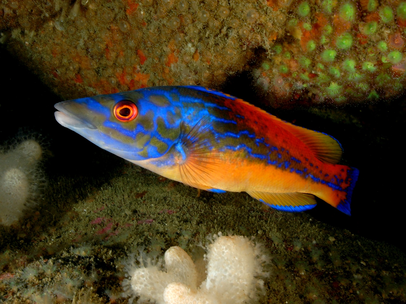
Post construction fish surveys are required to investigate changes in the fish and commercial shellfish populations in and around the TOWF site. The findings will be used for comparison with pre-construction surveys carried out in 2010 in order to assess the potential of the wind farm to act in enhancing or aggregating fish and shellfish populations. Any natural or manmade structure in the marine environment that stands in relief from the substratum will generally act as a fish aggregation device (FAD). This phenomenon is regularly exploited by sea anglers and commercial fishermen alike when fishing from piers and around wrecks and reefs. The document in this series provides the results of the winter fish surveys carried out in February and March 2015. Methodologies and catch data results have been provided, however no analysis of the data has been undertaken as this will be carried out after the first year of post construction (i.e. operational year one) fish surveys are completed.
 Series
2014, Natural Power Consultants, Teesside, Autumn Fish Monitoring Survey
Post construction fish surveys are required to investigate changes in the fish and commercial shellfish populations in and around the wind farm site. The findings will be used for comparison with pre-construction surveys carried out in 2010 in order to assess the potential of the wind farm to act in enhancing or aggregating fish and shellfish. Any natural or manmade structure in the marine environment that stands in relief from the substratum will generally act as a fish aggregation device (FAD). This phenomenon is regularly exploited by sea anglers and commercial fishermen alike when fishing from piers and around wrecks and reefs. The document in this series provides the results of the autumn fish survey carried out in November and December 2014. Methodologies and catch data results have been provided, however no in-depth analysis of the data has been undertaken as this will be carried out after the first year of post construction (i.e. operational year one) fish surveys are completed.
Series2014, Osiris Projects, Teesside, Operations and Maintenance Geophysical Survey (AugSept)
Operations and maintenance geophysical survey for Teesside Offshore Wind Farm between 19 August and 3 September 2014. The aims of the survey were to; to identify debris within the construction area; to identify changes to seabed morphology; to enable the evaluation of the effectiveness of installed scour protection and ratify the predictions for scour development; to Inform the foundation and cable maintenance schedule; and to satisfy the requirements of the Marine License, specifically the monitoring of Archaeological Exclusion Zones.
Series2014, Natural Power Consultants, Teesside, Summer Fish Survey
Post-construction fish surveys around the Teesside Offshore Wind Farm to satisfy the requirements under the Marine Licence. The surveys are intended to allow evaluation of any potential impacts of the windfarm on fish and shellfish populations and validate the predictions made in the ES. The survey methodologies agreed in the Post Construction Environmental Monitoring Plan included: Trawl survey using prawn/clean ground trawl (a type of otter trawl); Potting survey whereby baited parlour pots set over 24 hours; and Static netting survey using gill nets set over 24 hours.
Series2014, Osiris Projects, Teesside, Geophysical Survey
Operations and maintenance geophysical survey for Teesside Offshore Wind Farm between 26 March 2014 and 5 April 2014. The aims of the survey were to: to identify debris within the construction area; identify changes to seabed morphology, to enable the evaluation of the effectiveness of installed scour protection and ratify the predictions for scour development; inform the foundation and cable maintenance schedule; and satisfy the requirements of the Marine License, specifically the monitoring of Archaeological Exclusion Zones.
 Series
2013, dB Attenuation, Teesside, Acoustic Survey
Acoustic survey undertaken by dB Attentuation after the completion and energisation of Teesside Offshore Wind Farm and Warrenby Substation to assess whether the planning design criteria have been met.
 Series
2012, London Offshore Consultants Ltd., Teesside Offshore Wind Farm, Shipping and Navigational Risk Assessment
Shipping and navigational risk assessment including reduction measures.