

2014, Anatec Limited, Walney Extension Offshore Wind Farm, Shipping and Fishing Review
Summary
Data & downloads
Datasets
Related Pages
 Series
2016, Cathie Associates, Walney Extension, Cable Burial Risk Assessment
A burial risk assessment has been completed for the export cable route and the infield cables planned for the extension of the Walney Wind Farm. There are to be two Export cables, one from each OSP to transmit the power from the wind farm to shore, 87 No. inter array cables and an interlink cable connecting the twoOSPs. The cable route length forWOW03 is approx. 75km and for WOW04 is approx. 62km. It is anticipated that one offshore joint will be made at KP28-32 on each cable, due to its weight and volume. The aim of this burial risk assessment is to develop a recommended cable burial depth across the array and along the export cables excluding potential sediment mobility allowance. This revision incorporates a more detailed AIS data assessment and a Ground Investigation Report. Where applicable, the Carbon Trust CBRA [Ref. 32] approach is adopted, particularly in relation to the probabilistic assessment of anchoring.
 Series
2016, Boskalis EOD Services, Walney Extension, ROV Inspection Campaign
Acoustic and magnetometer survey of all planned cable routes and WTG location, etc. has been undertaken by Fugro EMU in Spring 2016. Based on this survey, a number of ferromagnetic and acoustic contacts has been identified at discrete locations which may be EO and could impede wind farm component installation and therefore had to be inspected visually to confirm their identity. Some of the ferromagnetic contacts are expected to be buried by marine sediment and required seabed excavation. By positive identification of EO confirmation, it shall be recovered or disposed of in accordance with existing UK authority regulations or any requirements imposed by authority in the specific case. The respective cable routes initially revealed 50 ferromagnetic anomalies, which needed to be further investigated. Those 50 ferromagnetic anomalies were spliced up in two different lots. 45 ferromagnetic anomalies were in Lot 1, with a water depth greater than 10 m LAT and 5 ferromagnetic anomalies were in Lot 2, with a water depth less than 10 m LAT. Subsequently, Boskalis EOD Services (UK) Ltd. (subsidiary of HH EOD Services GmbH) was contracted by DONG Energy (UK) Ltd. for an inspection survey and optional clearance campaign on these pre-defined suspect target locations within these areas using an ROV. Additionally, secondary objectives to be conducted were: Virgin Survey of 14 separate areas, a Mag Mask Survey of 2 areas and a Depth of Burial (DoB) survey of third party asset crossings of 22 crossings. The above phases of this short campaign were all executed by the vessel “Smit Kamara” from the 3rd of August 2016 to the 30th of September 2016.
 Series
2015-2016, DONG Energy, Walney Extension, WOW03 Watchmate Buoy
In July 2015, Fugro EMU deployed an AXYS Watchmate wave buoy at Walney Extension offshore wind farm site (referred to as WOW03).
 Series
2014-2016, Ordtek, Walney Extension, Unexploded Ordnance (UXO) Studies
Ordtek Limited has been appointed as the unexploded ordnance (UXO) risk management consultant to DONG Energy DE) for the Walney Extension Offshore Wind Farm project. This package contains a range of UXO risk management documents, including technical notes and reports.
 Series
2014, Titan, Walney Extension, Additional Export Cable Route Infill Survey
In June 2014, Titan Environmental Surveys were commissioned by Dong Energy to conduct a geophysical and bathymetric survey for an area of Export Cable Route not previously surveyed. The objectives of the survey were to collect Geophysical and Bathymetric data around the area where the cable had been laid outside of the original survey limits, checking for depth of burial or any cable exposure. The survey would be undertaken with Single Beam Bathymetry, Swathe Bathymetry, Side Scan Sonar (SSS) Sub Bottom Profiler and Magnetometer.
 Series
2014-2016, DONG Energy, Walney Extension, FLiDAR Wind Data
This series presents the reports and data associated with the FLiDAR (Floating Lidar) deployed at the Western Edge of Walney Extension (WOW03) in April 2014. This FLiDAR was deployed as part of R&D validation project.
 Series
2013, VSH, Walney Extension, Export Cable Landfall HDD Technical Assessment
Visser & Smit Hanab (VSH) have been appointed by DONG energy (DE) to provide a high level assessment of the export cable landfall(s) associated with the extension to the existing Walney Extension Offshore Windfarm. The project involves the landing of 220kV export cable systems. It is intended that the cable connections shall be installed by means of Horizontal Directional Drill (HDD), exiting onto the beach within the intertidal zone, beyond which the cable will be buried beneath the sea bed out to the Offshore Windfarm. The HDD option is driven by the sensitive salt marshes at the landfall location and the need to cross the sea defence structure. This report is intended to provide a high level overview of the viability of installing the landfalls by means of HDD at the above location. The study will take into account the design of the HDD profiles, soil conditions, site constraints and set up and pipe stringing locations, based on the available data.
 Series
2013, DONG Energy, Walney Extension, Local Impact Report
On the 28th June 2013, DONG Energy submitted an application for a Development Consent Order (DCO) to the Planning Inspectorate (PINS) to build and operate an extension to the Walney Offshore Wind farm, comprising a maximum number of 207 turbines with a total generating capacity of up to 750 megawatts (MW). Lancashire County Council and Lancaster City Council as hosts for the onshore development, together with Cumbria County Council and South Lakeland District Council as adjoining authorities are statutory consultees on this development. The four local authorities, together with Copeland Borough Council and Lake District National Park Authority worked together under the terms of a Planning Performance Agreement (PPA) to engage with DONG Energy in the preapplication process. This Local Impact Report has been prepared jointly between the six PPA authorities, with Cumbria County Council leading on the offshore impacts and Lancashire County Council leading in respect of the onshore impacts, which impact upon land within the Lancaster City Council area.
 Series
2013, N-Sea Survey BV, Walney Extension, Geotechnical Investigation
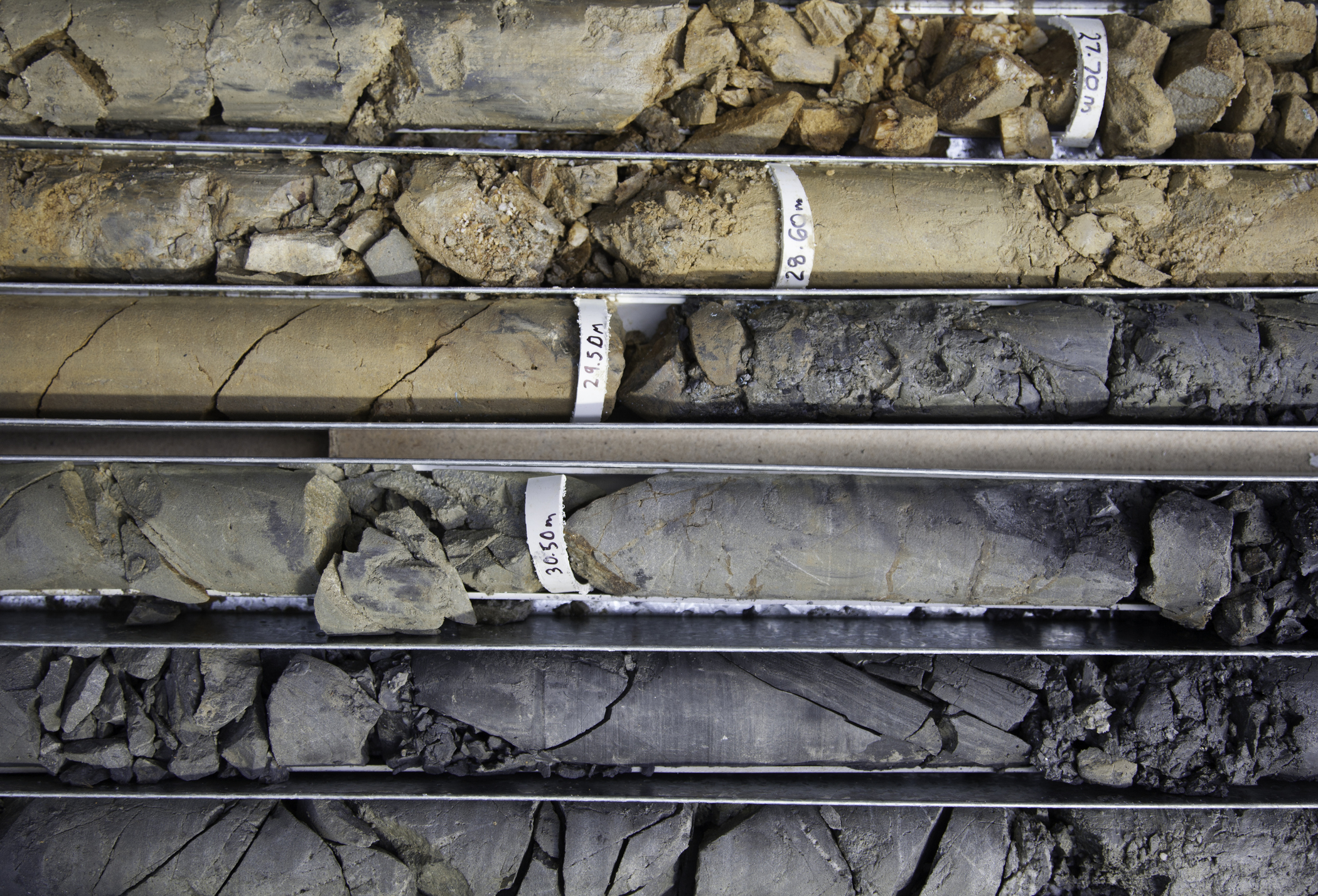
N-Sea Survey B.V. (hereinafter referred to as N-Sea) was awarded the contract by DONG Energy Walney Extension (UK) Ltd. to undertake geotechnical sampling investigations, consisting of CPTs (cone penetration tests) and vibrocores at specified locations. Sixty six (66) locations were identified by DONG: 17 within the WOW03 site and 49 along the proposed export cable route. Geotechnical services were provided by specialist subcontractor Marine Sampling Holland (MSH) who provided the Manta CPT, hydraulic vibrocore equipment and four operators. Fieldwork operations were undertaken from the 32 m multicat, M.P.R. 3, which was chartered from Marine Projects Rotterdam. A total of 79 CPTs (including 13 repeats) and 76 vibrocores (incl. 10 repeats) were completed between 20 September and 5 October 2013. The approximate water depths ranged from -3 m LAT near shore to +48 m LAT at the WOW03 site. Various seabed features, including mega ripples and sand waves, were present on the seabed.
Series2013, BACTEC International, Walney Extension, Topographic and Magnetic Survey at Middleton Sands for the Landfall of the Export Cable
As part of the Walney Extension Windfarm project, DONG Energy has identified the landing location of the export cable within a defined corridor in the intertidal zone. The Main Array Site is located approximately 19km west of the Isle of Walney coast in Cumbria, approximately 35km northwest of the Blackpool coast and 31km southeast of the Isle of Man. Due to the presence of important weapons manufacturing and industrial sites around the Bay, therefore there is a threat posed by German air delivered ordnance. DONG Energy UK Limited commissioned BACTEC International Limited to carry out a topographic survey and magnetic anomaly assessment of the proposed cables corridor, from a cable installation point on the land inshore of the beach dunes, out to the offshore limit of the tidal sand flats. The aim of the works was to carry out a Magnetic Survey in order to locate magnetic anomalies that might indicate the presence of UXO.
 Series
2013-2014, Fugro, Walney Extension, Geotechnical Site Investigation
Cathie Associates were contracted by DONG as Clients Representative for a geotechnical survey for the Walney Wind Farm Extension project. The survey works initially consisted of utilising 3no. vessels: > Fugro Commander - Seabed CPTs > Fugro Excalibur - Shallow water CPTs and sampling / coring > Fugro Gargano - Deep water downhole CPTs and sampling / coring However, due to various delays and technical issues these vessels did not complete the required scope of works and the following 2no. vessels were duly mobilised in order to complete the survey > Highland Eagle - Deep water downhole CPT and sampling/coring > Fugro Commander - Deep water coring. The aim of the Geotechnical Investigations was to confirm the ground conditions at each turbine location to enable the most economic detailed design and installation. The data from investigations will further supplement the geoscience data obtained previously and enable DONG to manage the geoscience risks to the project whilst facilitating detailed design of substructures and foundations.
 Series
2013, N-Sea Survey BV, Walney Extension, Geotechnical Investigation 2
The Walney Extension Windfarm is an extension to the existing Walney Offshore Wind Farm which is now in operation. The proposed windfarm site is located north west of the existing Walney Wind Farm, approximately 19km west-southwest from the Isle of Walney in Cumbria. It is 26km southwest from the Millom coast, 35km northwest from the Fleetwood and Blackpool coast and 31km southwest from the Isle of Man. N-Sea Survey B.V. were awarded a contract by DONG Energy Walney Extension (UK) Ltd. to undertake geotechnical sampling investigations at 66 locations along proposed power cable routes within the WOW03 wind farm site, and along the route of the export cable to shore at Middleton Sands near Heysham, Lancashire.