2014-2016, DONG Energy, Walney Extension, FLiDAR Wind Data

2014-2016, DONG Energy, Walney Extension, FLiDAR Wind Data

Powered by: TCE
Don't show this

What is a series page?

Download MEDIN file

Last series update:

March 2026

Collection date:

March 2014 - December 2016

The collection date represents the period of data collection or study duration. For example: '16/04/2015-05/05/2015'

Publication date:

May 2021

The publication date is the date the series was published on the Marine Data Exchange. For example: '23/04/2017'

Published by:

The Crown Estate

Summary

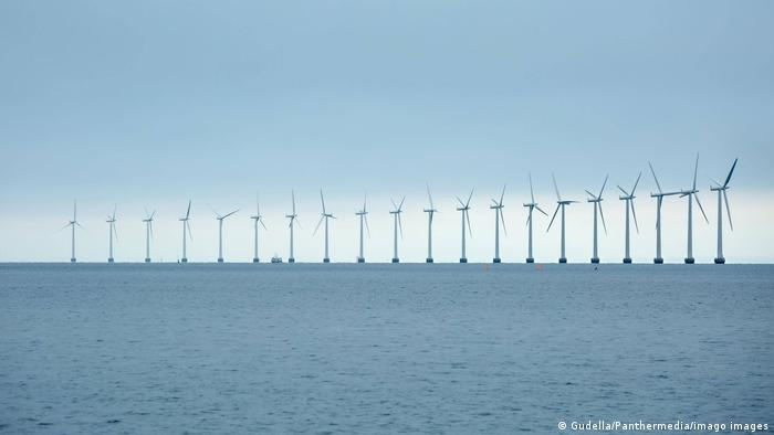
This series presents the reports and data associated with the FLiDAR (Floating Lidar) deployed at the Western Edge of Walney Extension (WOW03) in April 2014. This FLiDAR was deployed as part of R&D validation project. 

Categories:
Meteorology
Wind Resource Data
Categories indicate the area of study or data type the series is associated with. For example, a survey carrying out grab sampling would have the category 'Benthic Ecology', while a desktop study exploring the impact of substation design on bird nesting would have the categories ' Birds, Engineering Design'
Available in this series:
Datasets
1
Reports
2