Summary
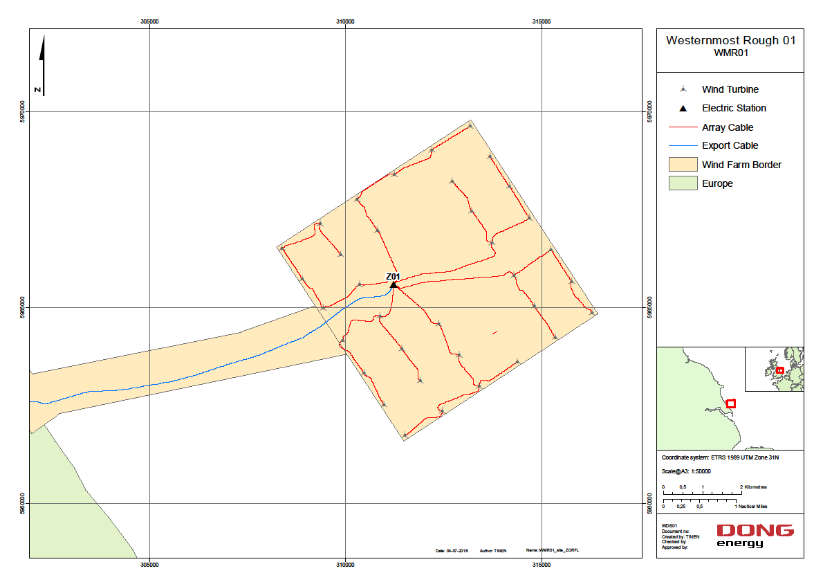
On February 2014 a WindCube V2 LiDAR was deployed at the Westermost Rough offshore at the roof of the station to record the wind speed and direction. This series documents all report and data collected/generated from this instrument.

On February 2014 a WindCube V2 LiDAR was deployed at the Westermost Rough offshore at the roof of the station to record the wind speed and direction. This series documents all report and data collected/generated from this instrument.
Explore the wealth of the data gathered in the 2014-2016, DONG Energy, Westermost Rough, LiDAR Survey
LiDAR Wind Data Collected at Westermost Rough Offshore Wind Farm (2014-2018)