

2016, EGS, Zone 6 - Rampion, Geotechnical Survey
Summary
Data & downloads
Datasets
Related Pages
 Series
2016, HR Wallingford, Zone 6 - Rampion, Underwater Noise Modelling
In order to support E.ON's request for the modification of seasonal restrictions on piling at the Rampion Offshore windfarm, HR Wallingford was commissioned to examine underwater noise propagation arising from a reduction in the proposed hammer energy. The results of these studies are reported in DLR5374- RT001-R03-00 (underwater noise modelling), DLR5374-RT002-R02-00 (Seasonal restrictions review) and DLR5374-RT004-R01-00 (Reduced hammer energies). Following a review of that work by the Marine Management Organisation (MMO), E.ON asked HR Wallingford to re-analyse the previous model results for marine mammals and herring using different metrics to allow for comparison of the modelling with that described in the original EIA for the Rampion project (RSK Environmental Ltd, 2012). The results of these studies are reported on in DDM7600-RT007-R01-00 and DDM7600-RT004-R01-00. Further modelling was also undertaken to assess the effects of simultaneous piling events at two locations (both 2no. x 2300kJ, and 1no. x 2300kJ, 1no. x 3500kJ).
 Series
2016, N-Sea, Zone 6 - Rampion, Geotechnical Operations (CPT)
N-Sea Offshore BV have been awarded a contract by E.ON (Rampion Offshore Windfarm Ltd.) to provide geotechnical services as part of ground preparation works for the proposed Rampion Offshore Windfarm off the South coast of the UK. Marine Sampling Holland BV was contracted by N-Sea Offshore BV to perform the Cone Penetration Tests to supplement the risk assessment and review of vessel jack up locations. The operations started on the 16th of March 2016. This Series contains the coordinate locations for the CPTs.
Series2016, Baker Consultants, Zone 6 - Rampion, Noise Monitoring During Foundation Installation
Baker Consultants Marine (BCM) was commissioned to monitor underwater noise emissions during the first four monopile installations in order to discharge license conditions (Schedule 13 of the DML) in accordance with MMO requirements. After discussion with the MMO the SoW was altered slightly considering that installation of the first foundation would not be representative for a typical installation process, considering that the first installation would normally take significantly longer. It was therefore agreed to monitor monopiles 2-5 of the sequence instead. The methodology employed to monitor noise emissions was developed to comply with Good Practice Guidance (GPG) compiled by NPL published by the Crown Estate.
 Series
2015, Envision Mapping, Zone 6 - Rampion, Dropdown Video Surveys
The purpose of these reports and datasets is to provide information on the potential areas of Annex I reef (as defined under Annex I of the EU Habitats Directive CEC, 2007) located within Boulder Clearance Sector 1 within the Rampion Offshore Wind Farm Site and cable corridor. Previous geophysical and benthic surveys undertaken at the Rampion development area have identified areas of potential Annex I reef. The baseline survey undertaken by EMU in 2011 (EMU Ltd., 2012) highlighted potential areas of reef, however some of these were noted to be little more than areas of mixed hard substrata. Additional geophysical data collected in 2013 and 2015 as part of the pre-construction work for the site. This data was analysed by Envision Mapping in order to provide sampling station locations for a pre-construction benthic survey (required as part of the deemed Marine Licence(s) conditions of the Rampion Offshore Wind Farm Order 2014). As a result of this geophysical (sidescan sonar and multibeam bathymetry) data interpretation, drop down video (DDV) sampling stations were incorporated into the benthic sampling regime. These were placed in areas identified as potential Annex I habitat or other environmental features of potential conservation interest, and were representative throughout the area (Envision Mapping Ltd., 2015). The DDV surveys were undertaken between 19th and 25th September 2015. A Marine Licence (L/2015/00327/1) was recently issued to enable boulder clearance to take place at the site and this licence included a condition which stated that no boulder clearance could take place in areas of potential Annex I reef, as identified as mixed hard substrata in the 2011 baseline surveys (Emu Ltd., 2012). In order to ensure that the conditions of this licence were not breached and to inform where boulder clearance could take place, the DDV data obtained as part of the pre-construction benthic survey was analysed for evidence of Annex I reef in the areas of boulder clearance. It should be noted that this DDV survey was based on more recent geophysical data (2013 and 2015), hence the locations of potential Annex I reef did not align exactly to those identified from the 2011 EMU surveys.
 Series
2015, EGS, Zone 6 - Rampion, Geophysical Survey
In June 2015 E.ON contracted EGS International Ltd (EGSi) to undertake a preconstruction geophysical and UXO survey of the wind turbine generator (WTG) locations, interarray cables (IAC) and the potential export cable (EC) routes for the Rampion offshore wind farm site. The objective of the Geophysical investigation is to provide detailed information and additional geophysical data for UXO mitigation in relation to the future installation of the Rampion Offshore Wind Farm. To achieve these aims, data were acquired using; a high frequency multibeam system, a sidescan sonar (SSS) positioned via a USBL system, a pinger (SBP) and a magnetometer array (5 on EGS Pioneer and 3 on Wessex Explorer). The survey was conducted on board the EGS Pioneer and Wessex Explorer operating on a 24 hour and 12hour operational basis with Shoreham and Brighton as the ports of operation respectively. Mobilisation of the EGS Pioneer took place between the 8th and 23rd June 2015, and 10th and 16th July for the Wessex Explorer. Geophysical survey operations were conducted using the EGS Pioneer and the Wessex Explorer between 16th June 2015 and 26th October 2015; vessel operations on the EGS Pioneer were carried out over the whole survey period; operations on the Wessex Explorer were carried out between 16th July and 8th September 2015 including demobilisation on the final day.
 Series
2014-2015, Brown and May Marine, Zone 6 - Rampion, Herring Larval Survey
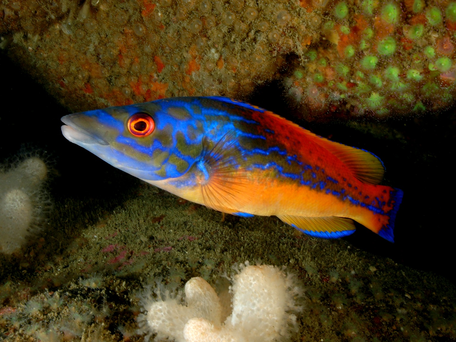
The Herring Larval survey conducted by E.ON was undertaken to characterise herring spawning in the vicinity of the proposed Rampion development area. The survey methodology replicates that of the ICES International Herring Larval Survey. 23 stations were sampled in November 2014, December 2014 and January 2015 using a Gull VII high speed plankton sampler.
 Series
2013-2014, Fugro GeoConsulting, Zone 6 - Rampion, Geotechnical Site Investigation
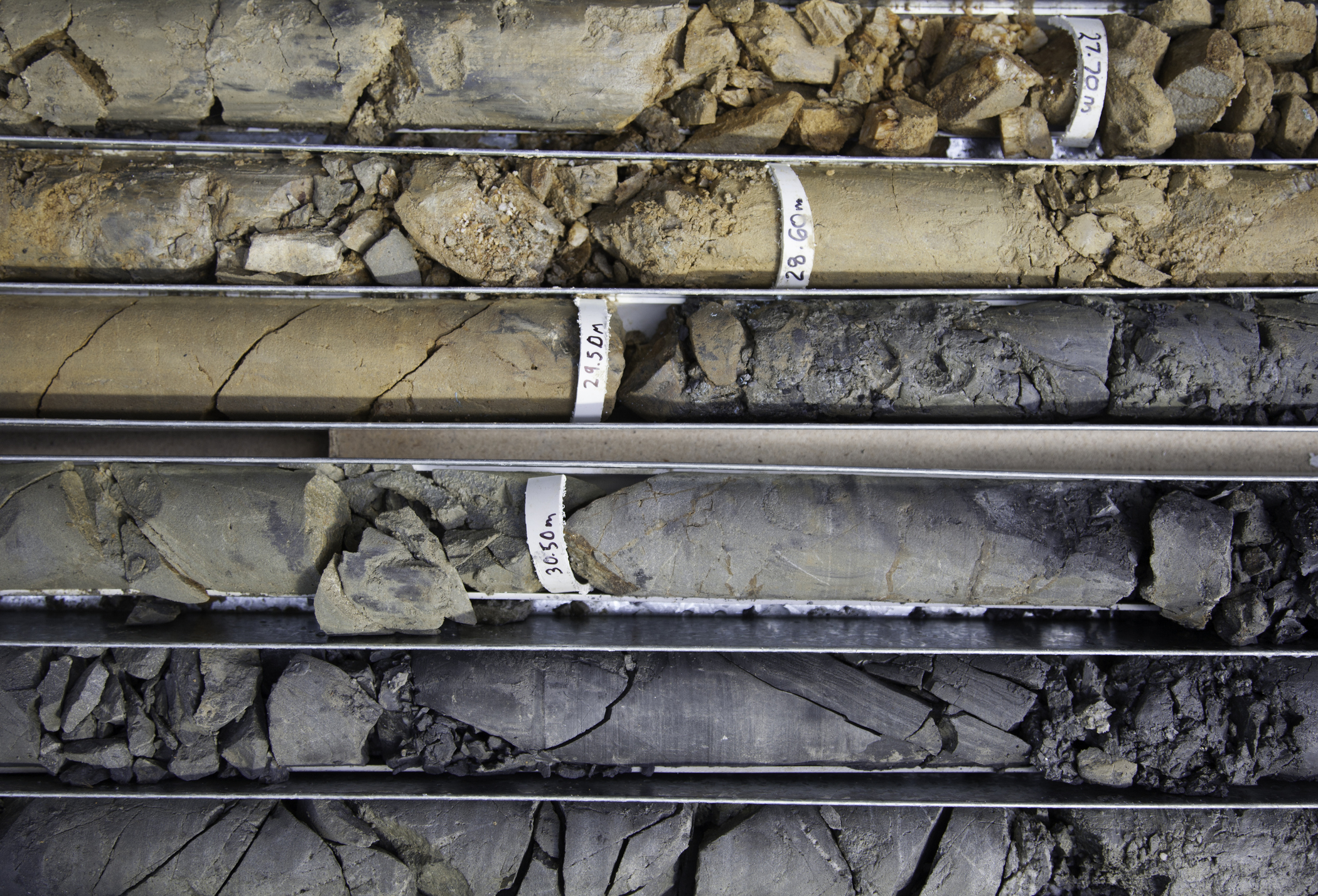
Fugro carried out a geotechnical site investigation at 183 locations within the wind farm site area and at 30 locations along the proposed export cable routes. To carry out this work Fugro used a number of vessels over a nine and a half month period. The objectives of this project are to carry out a sufficiently detailed site investigation of the Rampion Offshore Wind Site in order to: 1. Determine the geological and geotechnical characteristics of the Site to allow for planning and implementation of subsequent construction operations, with a good appreciation of geo-hazards including gas blanking; 2. Carry out full detailed design of the foundations across the Site for up to 181 no. wind turbines (previously 182) and 1 no. offshore substation platform; (previously 2) 3. Conduct detailed assessment of jack-up leg penetrations for jack-up vessels which may be used during the construction of the Site; 4. Understand the geological conditions across the export cable route corridor for the export cable route and trenching design. Please refer to the executive summary report (2. J11222-02 EXEC SUMMARY) for information on what is contained in each deliverable level.
 Series
2012, RSK, Zone 6 - Rampion, Environmental Statement
E.ON Climate & Renewables UK Rampion Offshore Wind Ltd (E.ON) is proposing the development of the Rampion Offshore Wind Farm (‘the Project’) off the Sussex coast. As a Nationally Significant Infrastructure Project (NSIP) under section 14(3) of the Planning Act 2008 and, owing to the size and nature of the project, an Environmental Impact Assessment (EIA) has been undertaken in accordance with the Infrastructure Planning (Environmental Impact Assessment) Regulations 2009. This document is an Environmental Statement (ES) produced as a result of the EIA process and is being submitted in support of an application for a Development Consent Order (DCO) for the Rampion Offshore Wind Farm, including associated development, to the Secretary of State under Section 37(3)(d) of the Planning Act 2008.
 Series
2012-2013, Gardline, Zone 6 - Rampion, Geophysical Investigations
Gardline Geosurvey undertook a geophysical survey of the Rampion Offshore Wind Farm consisting of a UXO Detection Survey, VHR Survey, Additional Areas Survey, Met Mast Survey and Cable Export Routes Survey (Geophysical Investigation – Technical Specification Document Ref: 5114328-GT-SP-001 Rev 3). The survey was conducted using single beam and multi-beam echo sounders, side scan sonar, pinger, boomer, magnetometer and multichannel VHR seismic. Data from all aspects of the survey have been used for the final interpretation of the data sets.
 Series
2012, RSK, Zone 6 - Rampion, Visual Landscape
Viewpoint location where photographs have been taken for photomontages (associated with the wind farm). Please refer to the Environmental Statement Series and appropriate SLVIA chapter for further background to the data provided here.
 Series
2012-2014, Fugro EMU, Zone 6 - Rampion, Meteorological Mast
This series presents data recorded from the Rampion Offshore Wind Farm Meteorological Mast erected approximately at Longitude 000 20 35.5 W Latitude 50 41 17.2N within the licence Area. Erection of the Met Mast and data recording was undertaken by FugroEMU Limited. The data recorded parameters between 2012 to 2014 and comprise measurements of directional wave parameters, current profiles, water levels, suspended sediment concentrations, water temperature, wind speed, gust and direction, air temperature and pressure. The aim of recording data from the meteorological mast was to capture low frequency, high energy events and high frequency, low energy events in order to establish a description of the site conditions. The wind modelling data contains 10 minute intervals between 13.05.2012 to 21.01.2014
 Series
2012, Subacoustech and RSK, Zone 6 - Rampion, Noise Coastal and Offshore Assessments
A programme of monitoring has been undertaken by RSK in order to assess the potential noise impacts at the residential receptors on the south coast of England, as a result of piling works for the Rampion Offshore Wind Farm. The closest receptors to the piling works will be properties along the coast, and will vary as different turbine bases are installed. The closest piling works for construction of the wind farm bases will be taking place approximately 13.5km offshore. The base for the meteorological mast was installed on 13 April 2012, using similar piling techniques to those that will be employed for construction of the turbine bases. Noise monitoring was undertaken on shore and on a boat close to the piling operations immediately before, during, and after the piling operation, and noise level changes as a result of the piling have been assessed.