

2012-2013, Osiris Projects, Zone 7 - Navitus Bay, Geophysical Survey
Summary
Data & downloads
Datasets
Related Pages
 Series
2015, Fugro OCEANOR, Zone 7 - Navitus Bay, Floating Lidar Survey
A SeaWatch Wind Lidar Buoy was deployed within Zone 7 Navitus Bay, collecting data from February 2015 to October 2015.
 Series
2013, Coastline Surveys, Zone 7 - Navitus Bay, Geotechnical Vibrocore Investigation
Coastline Surveys Ltd (CSL) was commissioned by PMSS on behalf of Navitus Bay Development Limited (NBDL) to undertake a marine geotechnical site investigation for the Navitus Bay Development area. The aim was to obtain information on the geotechnical characteristics of the sediment along a section of the development area and cable route corridor. This was necessary to inform archaeological assessment of the sediment as well as providing geological and geotechnical information for the cable engineering design for the proposed Navitus Bay Wind Park. A Vibrocore (VC) survey campaign involving 22no x 6m VC at locations supplied by PMSS (client rep) has been completed by CSL onboard Coastline’s dedicated survey vessel “MV FlatHolm”. The vibrocore survey was carried out between February 27th and March 1st 2013 using the CSL C-CoreHP High Penetration Corer.
 Series
2012, EMU, Zone 7 - Navitus Bay, Fish and Shellfish Ecology Characterisation
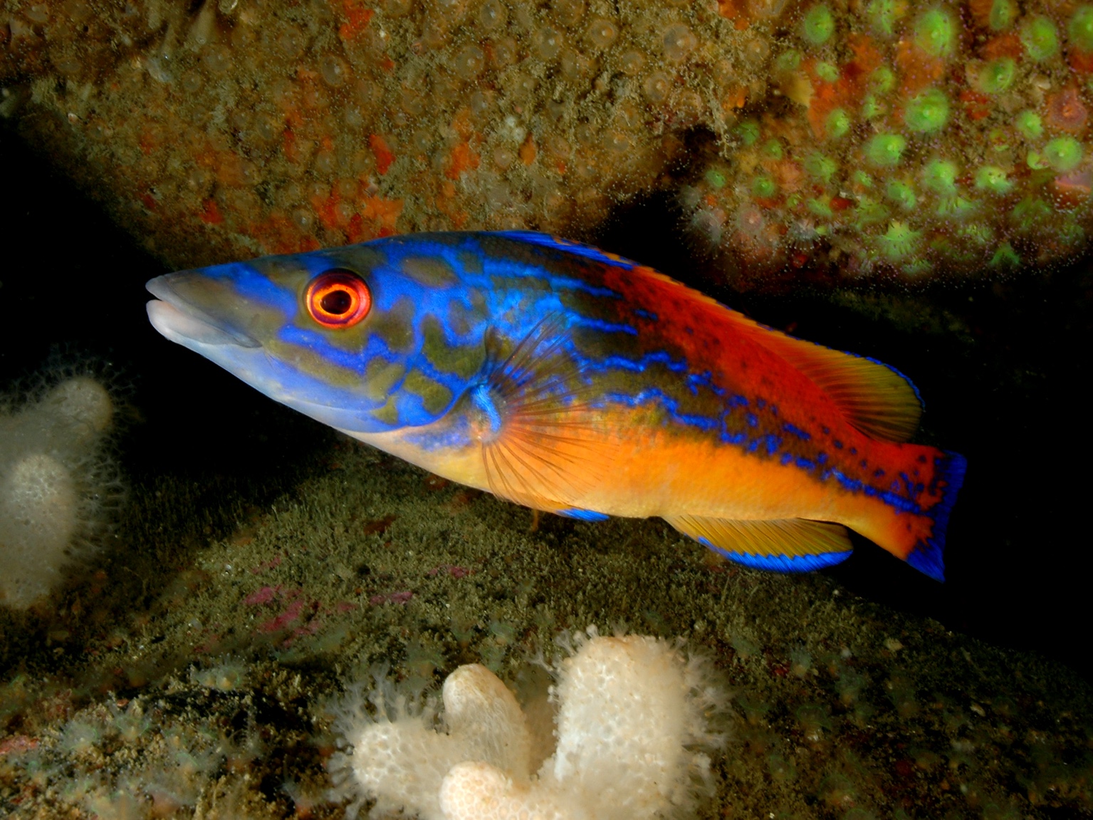
This data contains the ranked abundance of the fish species caught during the benthic ecology study. In agreement with the Marine Management Organisation, two seasonal site specific set net surveys were designed and implemented. The first survey was conducted in June 2012 with a second identical survey conducted in the following September.
 Series
2012, EMU, Zone 7 - Navitus Bay, Benthic Ecology Characterisation Survey
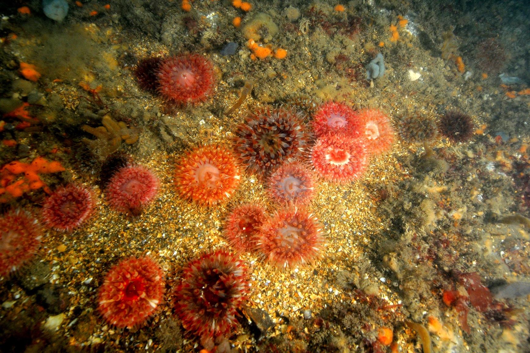
The aim of the survey was to characterise the benthic ecological conditions specific to the site and the predicted impacts of the proposed Navitus Bay offshore wind farm sites to inform the EIA.
 Series
2012, Marico Marine, Zone 7 Navitus Bay West Isle of Wight, Marine Vessel Traffic Survey
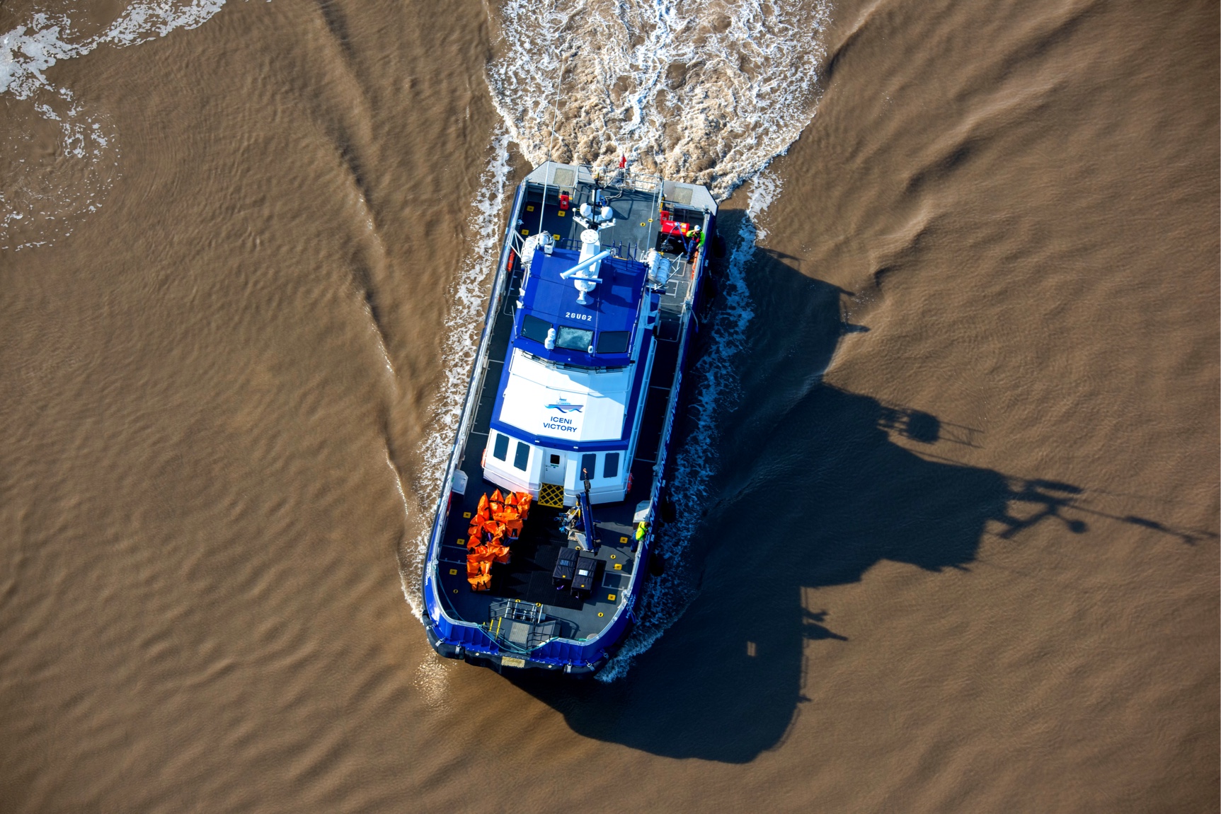
Data Series contains point coordinates of vessel locations in the proximity of Navitus Bay Site. It contains data form winter (February - March 2012) and summer (August 2012) RADAR survey and AIS data from October 2011 to September 2012.
 Series
2012, Fugro Engineering, Zone 7 - Navitus Bay, Metmast Geotechnical Borehole Survey
On the instructions and under the supervision of Eneco Wind (the Employer/Engineer), a site investigation was carried out at a proposed meteorological mast location off the Dorset and Hampshire coasts by Fugro Seacore Limited (FSL) and reported by Fugro Engineering Services Limited (FES). The objective of the investigation was to determine the ground conditions at the site and to provide information that would assist the Employer/Engineer in the geotechnical appraisal of the site. The scope of the investigation was determined by the Employer/Engineer. A factual report was requested including exploratory hole and field testing records, laboratory test results and site plan. The borehole and laboratory test data have been provided as digital data in AGS format. Photographs of the cores are presented in Appendix E. The report has also been provided in PDF format. The site work, which comprised one borehole to a depth of 51.25m bsl, was carried out between 28th January and 30th January 2012.
 Series
2011-2012, ECOFYS, Zone 7 - Navitus Bay, Onshore LiDAR Wind Data
This series presents the specifications of the onshore LiDAR WindCube v2 instrument, located near Brighstone on the south west coast of the Isle of Wight. Details include a site description, coordinates, equipment and installation details. Reports regarding the maintenance records and validation of the instrument are also provided. Wind data, including wind speed and directions for a range of heights is also present.
 Series
2011-2013, Gardline and Titan Environmental, Zone 7 - Navitus Bay, MetOcean and Marine Mammal Monitoring Survey
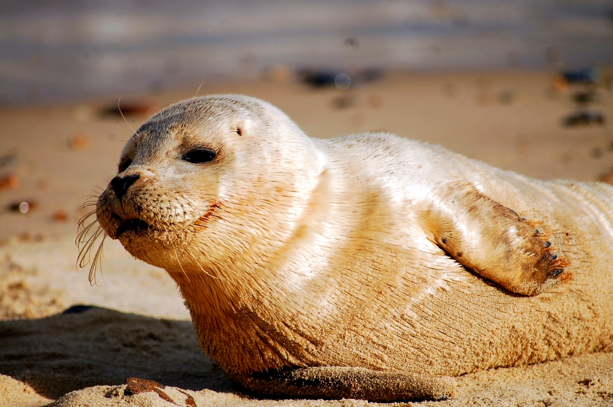
The aim is to collect, and subsequently report on, one year of field data to assist with the oceanographic and marine mammal studies. The original work scope comprised of the following elements: Oceanographic Data and Marine Mammal Monitoring Survey. It was a combined survey done by Titan (Oceanographic data) and Gardline (appointed by Titan on behalf of Navitua Bay for Marine Mammal Monitoring Survey). They deployed ADCP, OBS etc. for Oceanographic data and C-PODs for Marine Mammal Monitoring Survey. The survey duration was from 08/11/2011 to 10/01/2013.
 Series
2011-2012, Fugro, Zone 7 - Navitus Bay, Detailed Geophysical Survey
Eneco Round 3 Development Ltd. (Eneco) in the United Kingdom is developing Zone 7 (Navitus Bay), which is one of the Crown Estate Round 3 offshore wind farm zones. An area within Zone 7, Lot 1 (West Isle of Wight), has been selected for wind farm development. Eneco has contracted Fugro Survey BV (FSBV) to perform a detailed geophysical survey of the Lot 1 site, together with two (2) potential export cable routes to the UK mainland. The location of the project site and the potential export cable routes are shown in Figure 1. The geophysical survey was conducted between 25 July 2011 and 25 August 2011 from the survey vessel M.V. Aurelia, deploying the following equipment: - A single beam echo sounder (SBE) - A multi beam echo sounder (MBES), - A ultra high resolution portable multi channel seismic profiling system (UHR) - A high resolution side scan sonar (SSS). - A sub bottom profiler (SBP) - A magnetometer (MM) In Lot 2, the two export cable routes, the same equipment was deployed excluding the UHR system. This series contains Bathymetry, Magnetometer, Side Scan Sonar, SMT Kingdon project, Sound Velocity profiles, Sub-bottom profilers and UHR Seismic data from the survey.
 Series
2010, 6 Alpha Associates, Zone 7 Navitus Bay West Isle of Wight, UXO Survey
The overarching aim of the UXO assessment is to review each shipwreck and determine whether the buffer can be reduced from the “standard” 500m. The supporting objectives are to: • Determine if previous geophysical surveys have identified the wrecks; • Establish positional accuracy of the wrecks; • Evaluate the wreck history, specifically for UXO; • Undertake a qualitative risk assessment for each wreck based on the aforementioned factors; • Produce criteria to determine a reasonable avoidance buffer.
 Series
2010, Fugro, Zone 7 - Navitus Bay, Cable Corridor Geotechnical CPT and Vibrocore Survey
A geotechnical investigation was conducted for Eneco Offshore Wind Projects of the potential cable corridors for the West of the Isle of Wight offshore windfarm zone (Zone 7). Cone Penetration Tests (CPT), were performed at 16 scheduled locations, and Vibrocore samples were recovered from 14 scheduled locations along the potential cable routes. This report presents; - An overview of the site investigation. - Preliminary results of the sampling and in-situ testing performed offshore.
 Series
2010, Fugro, Zone 7 - Navitus Bay, Geotechnical Borehole Site Investigation
Eneco Round 3 Development Limited is currently appraising a site to the West of the Isle of Wight, located in Blocks 97 and 98, UK Sector, for an offshore wind farm. Fugro GeoConsulting Limited and Fugro Alluvial Offshore Limited were subcontracted by Fugro Engineers B.V. to perform laboratory testing and data processing for the site investigation. Reporting for the site investigation was undertaken by Fugro GeoConsulting Limited. The fieldwork was undertaken using the M/V Highland Eagle from 4 August to 19 September 2010, the Multi Cat M/V Willendeavour from 15 August to 13 September 2010 and the M/V Vos Baltic from 11 September to 13 September. The objective of this investigation was to appraise a proposed wind farm site to the West of Isle of Wight and to provide sufficient geotechnical information to assist preliminary design of turbine foundations, cable routes and geological model development. The M/V Highland Eagle carried out cone penetration tests (CPTs) and boreholes to assist in preliminary design of turbine foundations and geological model development, with the Multi Cat M/V Willendeavour and M/V Vos Baltic performing CPTs and Vibrocores to assist in cable route selection and design. Water depth is approximately 9.0 m to 40.5 m corrected to Lowest Astronomical Tide (LAT), as measured by the drillstring. Where no drillstring was employed, measurements are based on echo sounder readings at the start of each borehole.