

2010-2013, RPS, Zone 8 - Atlantic Array, Airborne Noise and Vibration Studies
Summary
Data & downloads
Reports
Related Pages
 Series
2013, RPS, Zone 8 - Atlantic Array, Communications Impact Assessment
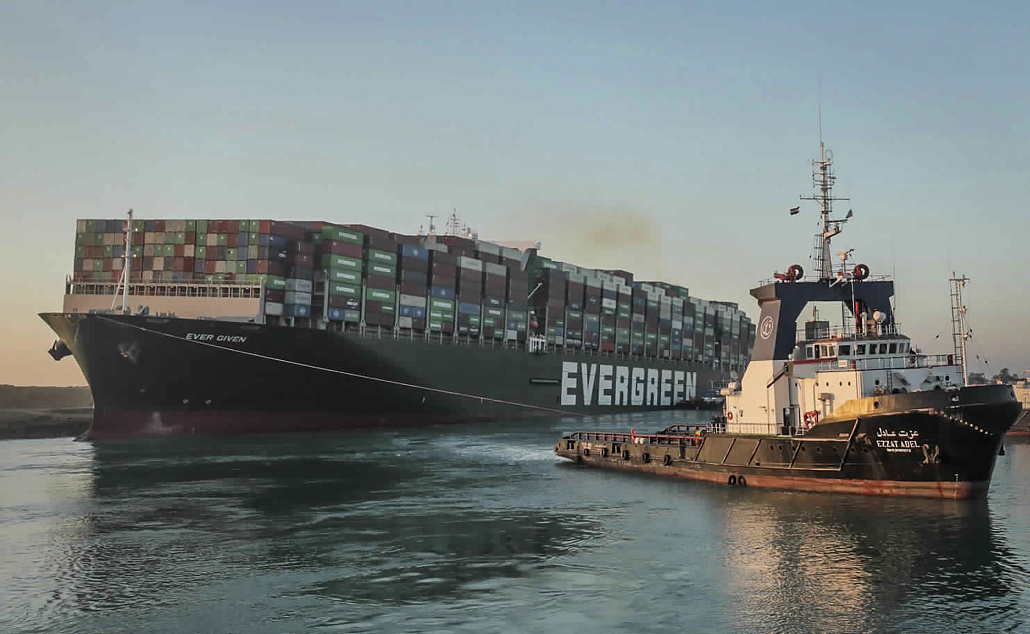
The potential issues relating to the Atlantic Array offshore wind development with regard to radio communications systems and television have been considered. The report (Environmental Statement Annex 22.1) within this series details the consultation and analysis undertaken for the Atlantic Array Offshore wind development on: 1) Microwave fixed links; 2) UHF telemetry links; 3) MOD radio systems; 4) Television; 5) Mobile phones; 6) MF radio; 7) HF radio; 8) Commercial radio; 9) Military radio; 10) LRIT; 11) SSAS. Unless stated otherwise, all co-ordinates within this report are WGS 84, UTM Zone 30N.
 Series
2013, RPS, Zone 8 - Atlantic Array, Environmental Statement
Finalised Environmental Impact Assessment for the Zone 8 project - Atlantic Array. Includes Offshore and Onshore assessment chapters, annexes, visual impact assessment and photomontages and non-technical summary.
 Series
2010, GEO, Zone 8 - Atlantic Array, Geotechnical Investigations and Laboratory Tests
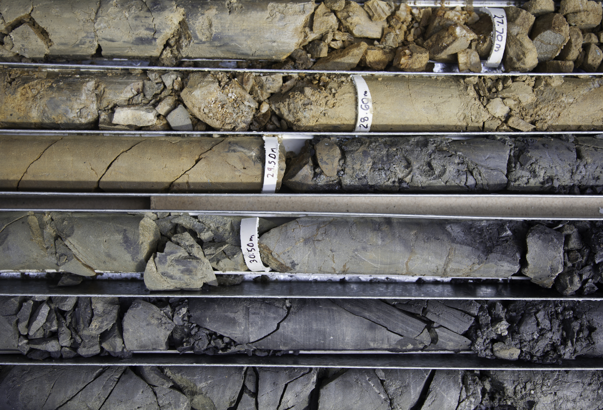
On behalf of Channel Energy Limited, GEO has performed a geotechnical site investigation for the planned Atlantic Array Offshore Wind Farm in the Outer Bristol Channel. For the wind farm area a total of 4 out of 15 planned boreholes were executed. The boreholes were planned to penetrate to approximately 40m below seabed, however only one borehole was carried out to the planned depth. At each borehole soil samples were taken using a down-hole push/piston sampler, along with penetration tests using a piezo-cone penetrometer tool. Detailed soil/rock descriptions of all samples from the boreholes were made offshore and classification and strength tests were executed on selected samples. This series contains numerous reports, including the Field Report, which summarizes the field and offshore laboratory work for the borehole campaign, and contains detailed soil/rock descriptions and logs.
Series2010, METOC, Zone 8 - Atlantic Array, Cable Landfall Feasibility Desk Study
The dataset presents the results of a Desk Study carried out by METOC to inform the feasibility of a Horizontal Directional Drilling (HDD) crossing for the landfall of the Atlantic Array wind farm export cables at Cornborough on the North Devon coast. The Cornborough Range landfall has been selected as the favoured option by RWE. It is proposed that a sixty metre swath containing between six and ten 132 kVA cables will cross the foreshore at Cornborough. The preferred method of crossing this area to avoid environmental disturbance, is HDD. The landfall, sub-surface route section at Cornborough is considered feasible from a geological viewpoint. Considerable attention, however, will be required in assessing the profile of the tunnels in order to ensure the drill profile is, if possible, entirely within unweathered rock and avoiding all mapped faults and fractures, and ideally exiting offshore in soft sediments.
 Series
2010 - 2011, RPS, Zone 8 - Atlantic Array, Benthic Ecology Surveys
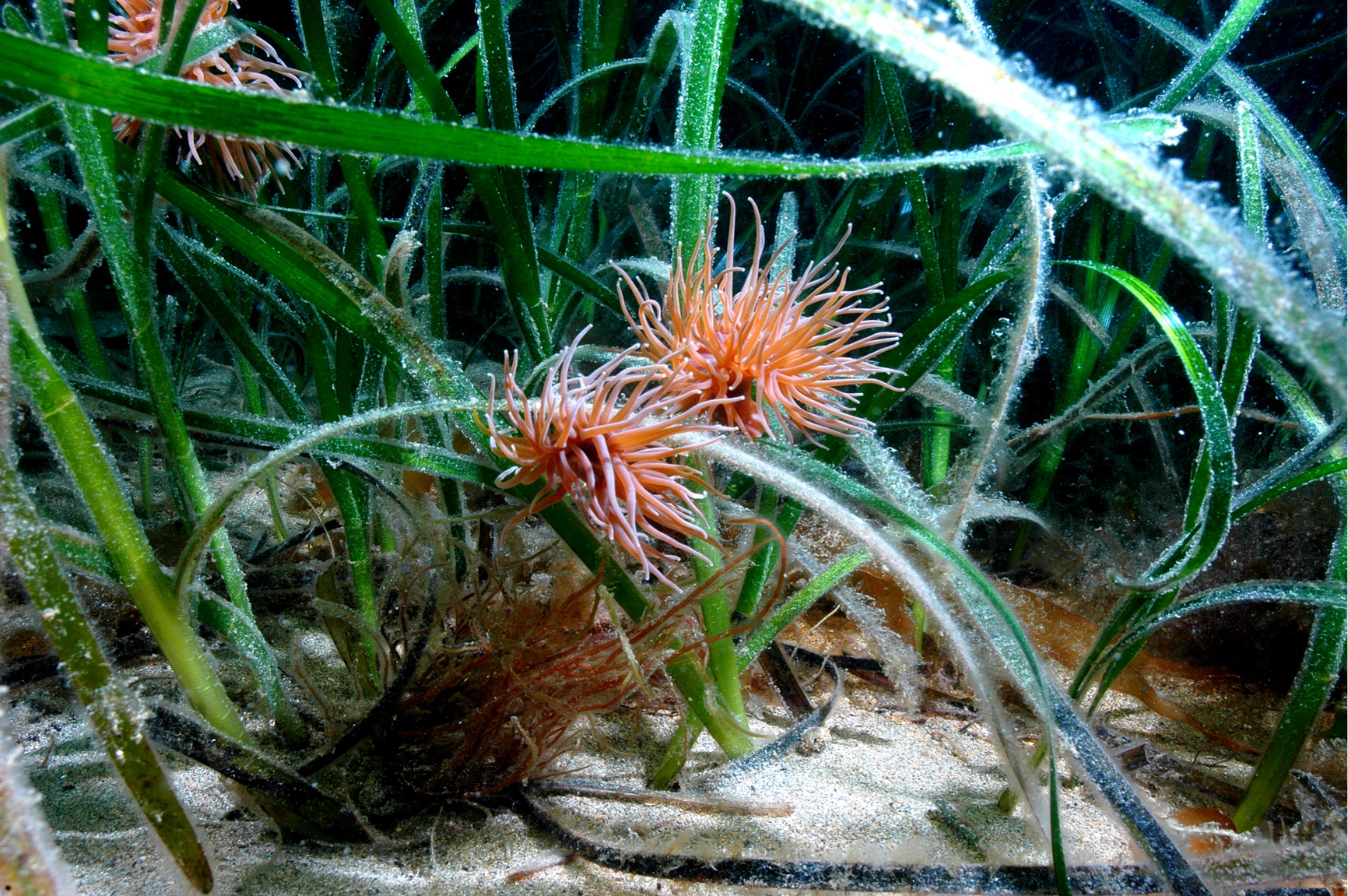
RPS Ltd, acting on Bristol Channel Zone Ltd's behalf as the lead Environmental Impact Assessment (EIA) consultant for the atlantic Array project, undertook a number of specific technical disciplines, including the marine ecology aspects of the project. In order to characterise the benthic ecology of the proposed development site, potential export cable routes and surrounding area, for the purpose of informing the EIA process, subtidal benthic sampling was undertaken using a combined benthic grab (0.1m2 Hamon grab) and drop down video (DDV) sampling method. Following review of the geophysical data, benthic sampling locations within the Atlantic Array development site and export cable routes were refined to ensure that all broad scale sediment types and seabed features identified by the geophysical survey were adequately represented in the sampling array. The sampling array was also designed to ensure that all previously identified biotopes present in the survey area were also adequately sampled (Mackie et al., 2006). The survey specification was further refined following consultation with statutory and non-statutory consultees. Samples for both physical (particle size analysis) and biological (benthic infaunal analysis) were collected from each grab sample. Epibenthic trawls were also undertaken in order to collect information on epibenthic invertebrate species, as well as small demersal and juvenile fish. In addition, separate potting surveys for crab and whelk have been undertaken. The purpose of these surveys is to inform the characterisation of shellfish resources within the wind farm site and to provide a baseline suitable for future pre/post construction monitoring of these species should a need for this be identified during the EIA process. Finally, a series of otter trawl surveys have been conducted. The study will provide information on the spatial and temporal variability of commercially targeted fish (and shellfish) species and non-commercial associated species assemblages prior to the development of the Atlantic Array OWF. These surveys will serve to increase the rigour of the marine ecology description used in support of impact assessments on this resource as part of the EIA process.
 Series
2010, RPS, Zone 8 - Atlantic Array, Visual Assessment
A visual assessment of the proposed Atlantic Array offshore wind farm and proposed onshore substation at Alverdiscott was conducted by RPS Ltd. This series contains maps associated with this assessment, which show the visual impact of the proposed wind farm on the Bristol Channel coastline (turbine heights of both 165m and 220m were considered), and Zones of Theoretical Visibility (ZTV) for the proposed substation. The visual impact on surrounding designated areas was also mapped.
 Series
2010-2011, RPS, Zone 8 - Atlantic Array, Nocturnal Bird Surveys
RPS is advising RWE NRL on the assessment of the potential impacts on birds of the proposed Atlantic Array offshore wind farm. Papers have been prepared and meetings have been held with the countryside Council for Wales (CCW) and Natural England (NE) to discuss the risks that the proposed wind farm may pose to populations of birds (RPS 2010a) and on the development of the surveys to precede and inform the EIA (RPS 2010b). Three periods of sampling will be carried out overall, spanning the seabird breeding season. The report within this series provides information on the May survey only, with further surveys planned in July and September 2010. The nocturnal survey had the primary objective of identifying if seabird flight activity (species, numbers, behaviour and height) differs significantly at night compared to that identified by the continuing programme of boat based diurnal surveys. The survey also provides information on other species or species groups but this information gathering was secondary to the primary objective.
 Series
2010, Npower renewables, Zone 8 - Atlantic Array, Proposed Meterological Mast Location
RWE npower renewables Ltd (NRL) has gained exclusive rights to develop the Bristol Channel Zone (BCZ) as part of The Crown Estate Round 3 leasing programme. NRL have identified a potential development area for an Offshore Wind Farm (OWF) within the BCZ, known as Atlantic Array. As part of the initial assessment of the development area, it is proposed that a meteorological mast (met mast) will be constructed at the site. This series contains various reports associated with the proposed Met Mast, including the Food and Environment Protection Act (FEPA) licence.
 Series
2010, AnatecGeoData Institute, University of Southampton, Zone 8 - Bristol Channel Atlantic Array, Maritime Traffic Survey
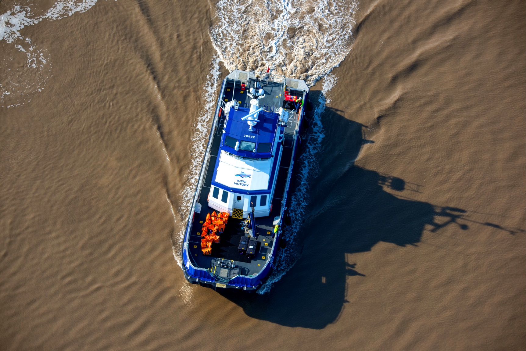
This series contains a dataset which displays vessel tracks observed during two week Maritime Traffic Survey for Atlantic Array OWF project. The data was collected by AIS, Radar and visual observation by two survey vessels deployed within Bristol Channel Zone between the 14th and 23rd April, 2010. There are also numerous reports within this series.
 Series
2010, Gardline Geosurvey Ltd., Zone 8 - Bristol Channel Atlantic Array, Geophysical Survey 2010
Gardline Geosurvey carried out a survey for Channel Energy Ltd, at the proposed Atlantic Array Offshore Windfarm site location, north of Lundy in the Bristol Channel. The object of the survey was to identify any hazards or obstructions on the seabed for placing wind turbines, and to provide shallow soils interpretation. Also to inform the detailed geotechnical, benthic and archaeological site investigations, to identify targets for environmental grab sites, and to act as a basis for coastal process modelling. The survey utilised single beam and multi-beam echo sounders, sidescan sonar, a magnetometer and sparker, boomer and pinger sub-bottom profilers.
 Series
2010, RPS, Zone 8 - Atlantic Array, Fish Larvae Survey
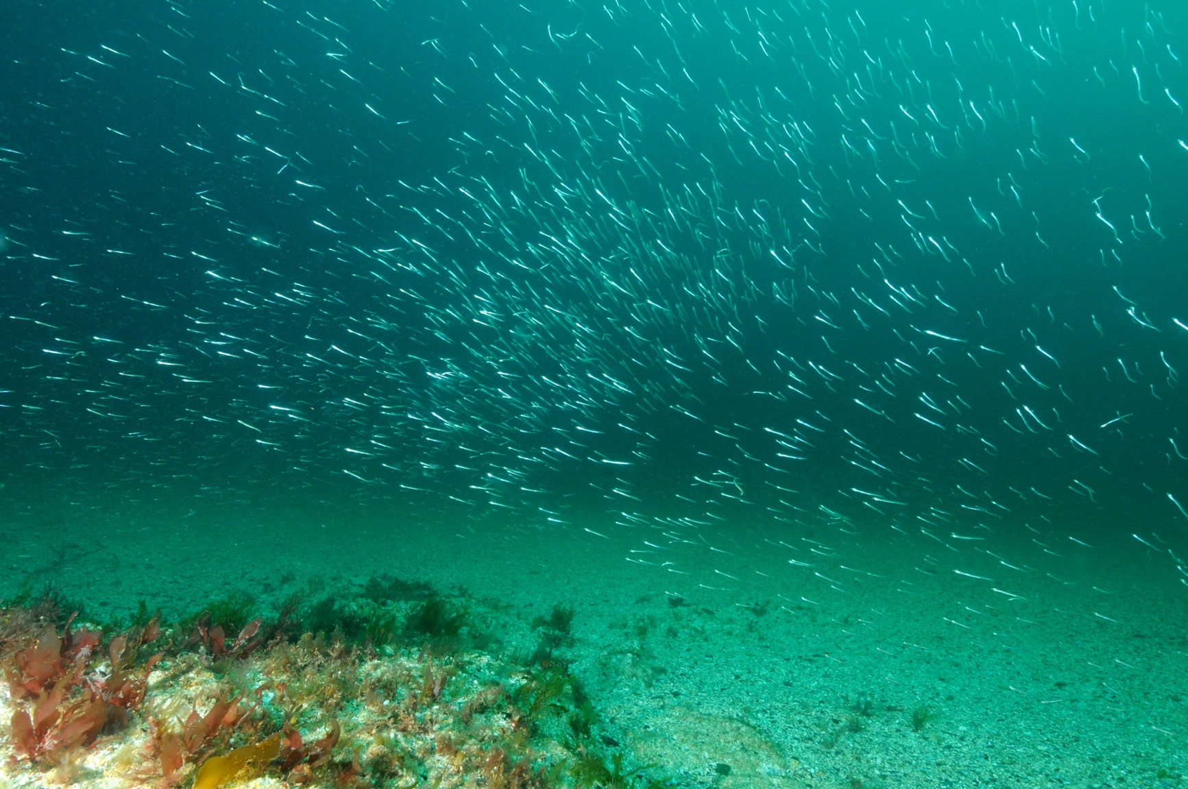
RPS was commissioned by npower renewables to undertake a desktop review of fish spawning and nursery areas in the Bristol Channel to inform the Environmental Impact Assessment (EIA) process and survey programme for the proposed Atlantic Array Offshore Wind Farm (OWF). One of the primary aims of the review was to refine and update the information provided by the Fish Sensitivity Maps produced by Coull et al. (1998). The review identified significant spawning and/or nursery grounds within the vicinity of the Bristol Channel and Severn Estuary for plaice, sole, dab, lemon sole, whiting, cod, bass, herring, sprat, flounder and gobies. In addition, three fish egg and larvae surveys were conducted across the proposed Atlantic Array OWF site and surrounding waters from the 9th to the 11th March 2010, 28th March to the 2th April, and 27th April to the 30th April. The survey was conducted from the fishing vessel ‘Our Olivia Belle’ BD277 a fishing vessel registered at Bideford and operated by S&P Trawlers of Barnstable. This package contains the report presenting the results of the desktop review. The results of the fish larvae surveys are also provided.
 Series
2010, GEMS, Zone 8 - Atlantic Array, Metocean Assessment
GEMS Survey Ltd. (GEMS) was awarded a contract by Channel Energy Limited to undertake metocean data collection in the Bristol Channel as part of the Atlantic Array wind farm development project. The scope of work includes the deployment of two acoustic wave and current (AWAC) units and one Directional Waverider Buoy. Ancillary work includes water and sediment sampling and water profiling. Following non-recovery of AWAC devices, TRIAXYS Directional Wave buoys were utilised for the rest of the survey. This series contains both reports and datasets associated with the Metocean Assessment.