

2004-2005, Fugro Engineering Services, Race Bank and Docking Shoal, Geotechnical Investigations
Summary
Data & downloads
Reports
Related Pages
 Series
2015, EGS, Docking Shoal, Met Mast Clearance Survey
EGS International Ltd (EGSi) were contracted by Centrica Renewable Energy Limited (CREL) to undertake a hydrographic, geophysical and UXO survey within the area of the Docking Shoal Meteorological Mast. A jack-up vessel will be used to remove the decommissioned Met Mast on Docking Shoal, with the platform and above section of the mast being removed and the remaining subsea section of the monopole being cut off to 1 metre below seabed level. Prior to the jack-up vessel’s arrival, a UXO site clearance survey was required to enable the vessel to safely jack up close to the Met Mast. An Acoustic Wave and Current Profiler (AWAC) seabed frame was also known to be located within the vicinity of the Met Mast. However, its position was not known and survey data was required to accurately locate this frame. The water depths across the site around the met mast range from 6.5 metres below LAT (eastern extent) to 12.5 metres below LAT (south and western extent). The mean sea level depth at the proposed survey area is 13.5 metres. The survey specifications were to: • Acquire bathymetric data with 100% coverage within the pre-defined survey area • Acquire high density magnetic data to allow UXO identification and analysis • Acquire high resolution side-scan sonar data with at least 100% coverage within the pre-defined survey area to identify targets on the seabed and, thereby, assist with UXO identification • Acquire high resolution shallow seismic data to identify buried objects • Acquire side-scan sonar, magnetic, seismic and bathymetric datasets to identify obstructions which could impede the arrival of the Jack up vessel, specifically, potential items of UXO, significant objects and man-made features on the seafloor • Acquire MBES data to determine the depth of the seabed relative to the met mast so that the mast can be removed from the correct level (at least 1m below the seabed).
 Series
2009-2010, Centrica, Race Bank and Docking Shoal, Supplementary Environmental Information
Series Description: Race bank and Docking Shoal Supplementary Environmental Information (SEI) Planning Application Reports and Dataset; Centrica Project: Docking Shoal Offshore Wind Farm Development; Project Phase: Consenting; Date Range: 2009-2010; Available Datasets and supporting documentation: 1.GIS Shapefiles (.shp) , 2.Drawings; Wireframes; Photomontages (.pdf). The Supplementary Environmental Information (SEI) relates to Centrica Renewable Energy Limited’s application for consent to construct and operate the Docking Shoal Offshore Wind Farm Centrica (DSW) Limited and the Race Bank Offshore Wind Farm (Centrica (RBW) Limited) in The Greater Wash. These are additional items of work which were carried out to enhance the information in the original Environmental Statements (ESs) and the results of these works are then voluntarily presented in the form of this report – SEI.
 Series
2008, Centrica, Docking Shoal, Commercial Fisheries
This record was completed as part of the Environmental Statement. It details the assessment of the potential impacts on commercial fishing from the construction, operation and decommissioning of the proposed Docking Shoal Offshore Wind Farm. Commercial fishing is defined as any form of fishing activity legitimately undertaken for profit.
Series2007 - 2008, Centrica, Docking Shoal, Environmental Statement
This project describes the Environmental Statement for Docking Shoal offshore wind farm. It aims to provide an overview of the key findings of the Environmental Impact Assessment (EIA) undertaken by Centrica as part of the consent application. The proposed Docking Shoal offshore wind farm is 14 kilometres (9 miles) off of the coast of Wells-next-the-sea on the North Norfolk coast and approximately 19.5 kilometres (12 miles) from Skegness on the Lincolnshire coast. The Environmental Impact Assessment covers various themes that may be impacted from the construction of an offshore wind farm. These include surveys to observe Archaeology, Ornithology, Shipping and Navigation, Marine Ecology and Noise.
 Series
2006-2009, Centrica Energy, Docking Shoal, AWAC Wave Buoy Devices
AWAC wave buoy devices were deployed at both Docking Shoal and Race Bank Offshore Wind Farms (both Centrica Energy at the time of deployment). This Package contains the data collected from the Docking Shoal buoy. All associated reports can be found in the series reports.
 Series
2006, AMEC, EMU, Envision, IECS, Osiris, Docking Shoal, Benthic Survey Outputs
This series presents the results of the benthic surveys undertaken in relation to the Docking Shoal and Race Bank Offshore Wind Farms, and includes details on the sedimentary characteristics and the species found within the survey area. Surveys included the collection of benthic grab samples, epifaunal beam trawling and drop-down video sampling to avoid the use of invasive sampling in areas of significant biogenic reef. The surveys were undertaken in 2006. Please note the original benthic survey reports are provided within the appendices of the individual Docking Shoal and Race Bank Environmental Statements.
 Series
2006-2013, Centrica and AMEC, Docking Shoal, Meterological Mast Data
This series contains data obtained from the meteorological mast at the site of the Docking Shoal Farm for the years 2006 - 2013. It contains Calibration Certificates and Service Reports, Mast Drawings, Site Instrumentation Summary and Raw Data for the mast loggers ENGdscM10 and ENGdscM20.
 Series
2003-2007, Anatec, Docking Shoal Offshore Wind Farm, Navigation Risk Assessment
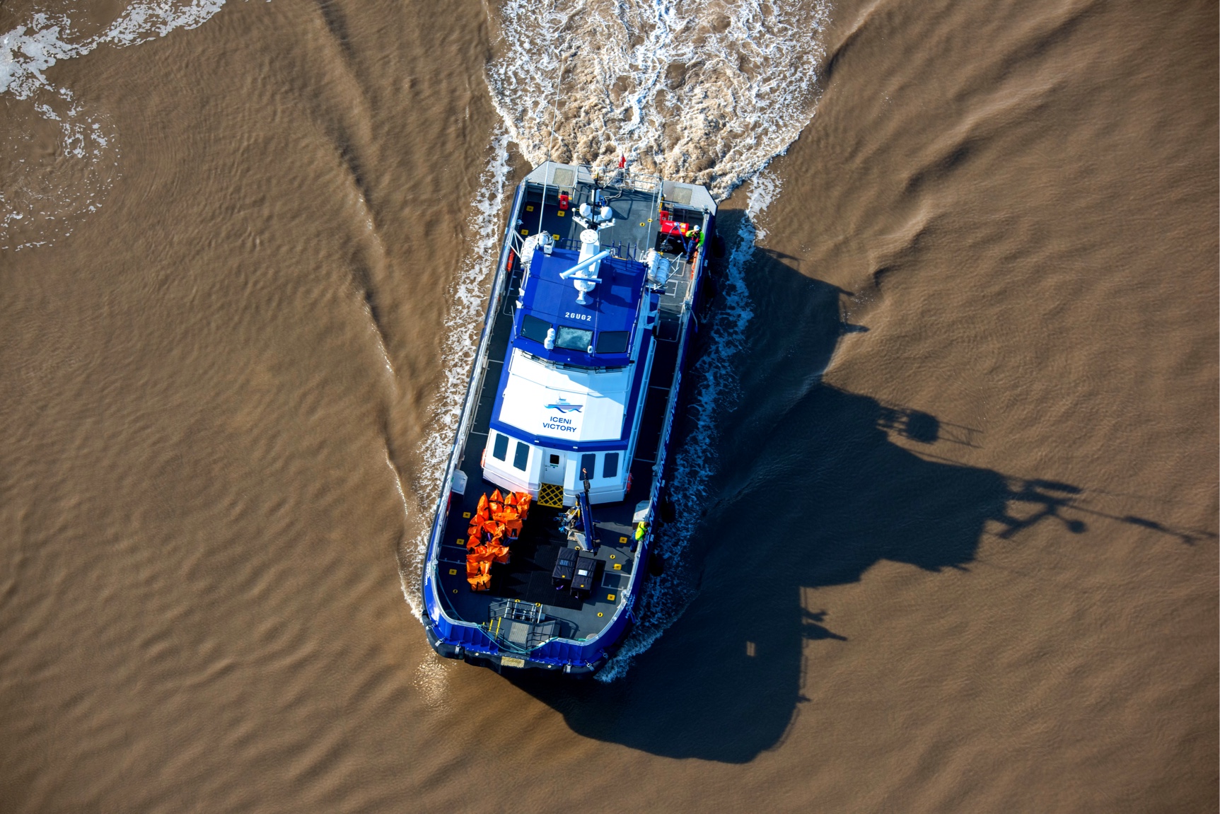
Anatec was commissioned by Centrica to perform a shipping and navigation assessment of the Docking Shoal Offshore Wind Farm in the Greater Wash. The report presents an assessment of the potential impact of the proposed development on the routeing and safe navigation of vessels in the area. It is primarily based on 28 days of vessel traffic survey data collected in the area, and consultation with local users. The document was produced in 2007, based on data collected in 2003 and 2004, additional AIS data was collected in 2006 and 2007 The Navigational Risk Assessment was produced by Anatec UK Ltd, to inform the Docking Shoal Environmental Statement.