

2022, EGS, The Crown Estate Data Collection, Geophysical Survey of Proposed Dredging Areas in the Thames Estuary (KRA)
Summary
Data & downloads
Datasets
Related Pages
 Series
2023, EGS, The Crown Estate Data Collection, Geotechnical Survey of proposed dredging areas (KRA)
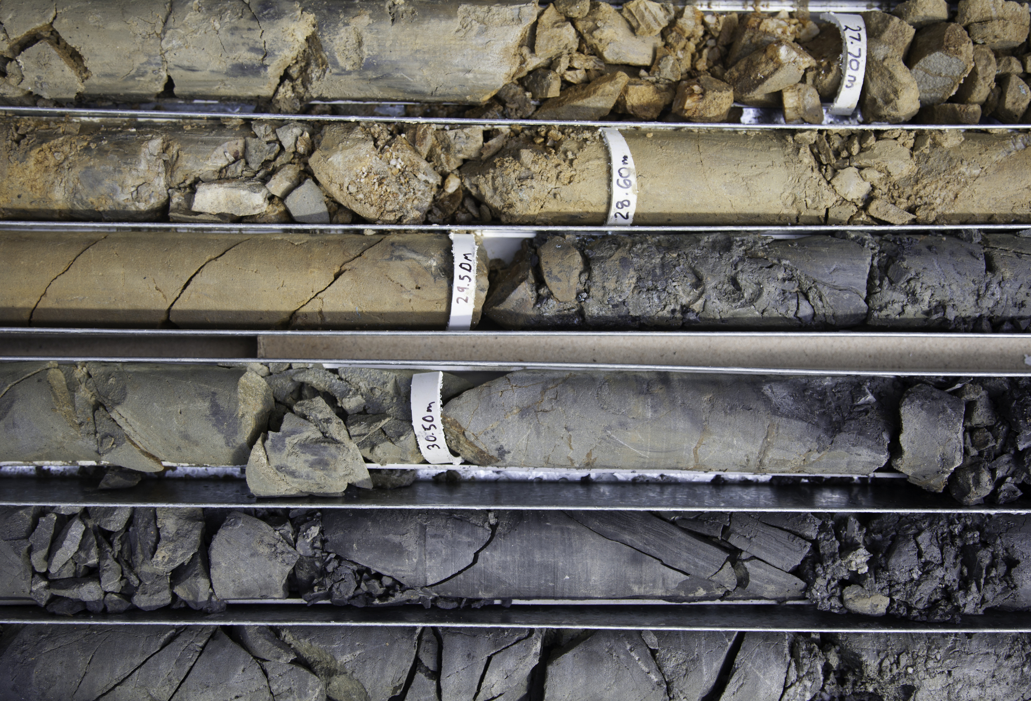
This survey work involved Geotechnical data acquisition at individual pre-planned core locations based off previously ascertained geophysical data. The objectives of the survey are to acquire high-quality Vibrocore data aimed at helping to produce an assessment of sand and gravel resources around the UK. This survey covered areas in the Humber, East Coast, Thames Estuary and East English Channel
 Series
2022, EGS, The Crown Estate Data Collecton, Geophysical Survey of Proposed Dredging Areas off the Humber (KRA)
This survey work involved bathymetric and geophysical data acquisition along individual pre-planned lines over proposed dredging areas identified by The Crown Estate in the Humber region.The objectives of the survey are to acquire high-quality bathymetric and geophysical data aimed at producing an assessment of sand and gravel resources. The survey scope includes Multi-Beam Echo sounder (MBES), Side-Scan Sonar (SSS), Sub-Bottom Profiler (SBP), and Single-Channel Ultra-high resolution seismic (S-UHRS) surveys.
 Series
2022, EGS, The Crown Estate Data Collecton, Geophysical Survey of Proposed Dredging Areas on the East Coast (KRA)
This survey work involved bathymetric and geophysical data acquisition along individual pre-planned lines over proposed dredging areas identified by The Crown Estate in the East Coast region.The objectives of the survey are to acquire high-quality bathymetric and geophysical data aimed at producing an assessment of sand and gravel resources. The survey scope includes Multi-Beam Echo sounder (MBES), Side-Scan Sonar (SSS), Sub-Bottom Profiler (SBP), and Single-Channel Ultra-high resolution seismic (S-UHRS) surveys.
 Series
2022, EGS, The Crown Estate Data Collecton, Geophysical Survey of Proposed Dredging Areas in the English Channel (KRA)
This survey work involved bathymetric and geophysical data acquisition along individual pre-planned lines over proposed dredging areas identified by The Crown Estate in the English Channel region.The objectives of the survey are to acquire high-quality bathymetric and geophysical data aimed at producing an assessment of sand and gravel resources. The survey scope includes Multi-Beam Echo sounder (MBES), Side-Scan Sonar (SSS), Sub-Bottom Profiler (SBP), and Single-Channel Ultra-high resolution seismic (S-UHRS) surveys.