
2011, RHDHV, Galloper, Environmental Statement
Summary
Data & downloads
Datasets
Related Pages
 Series
2014, APEM, Galloper, Ornithology Monitoring Services
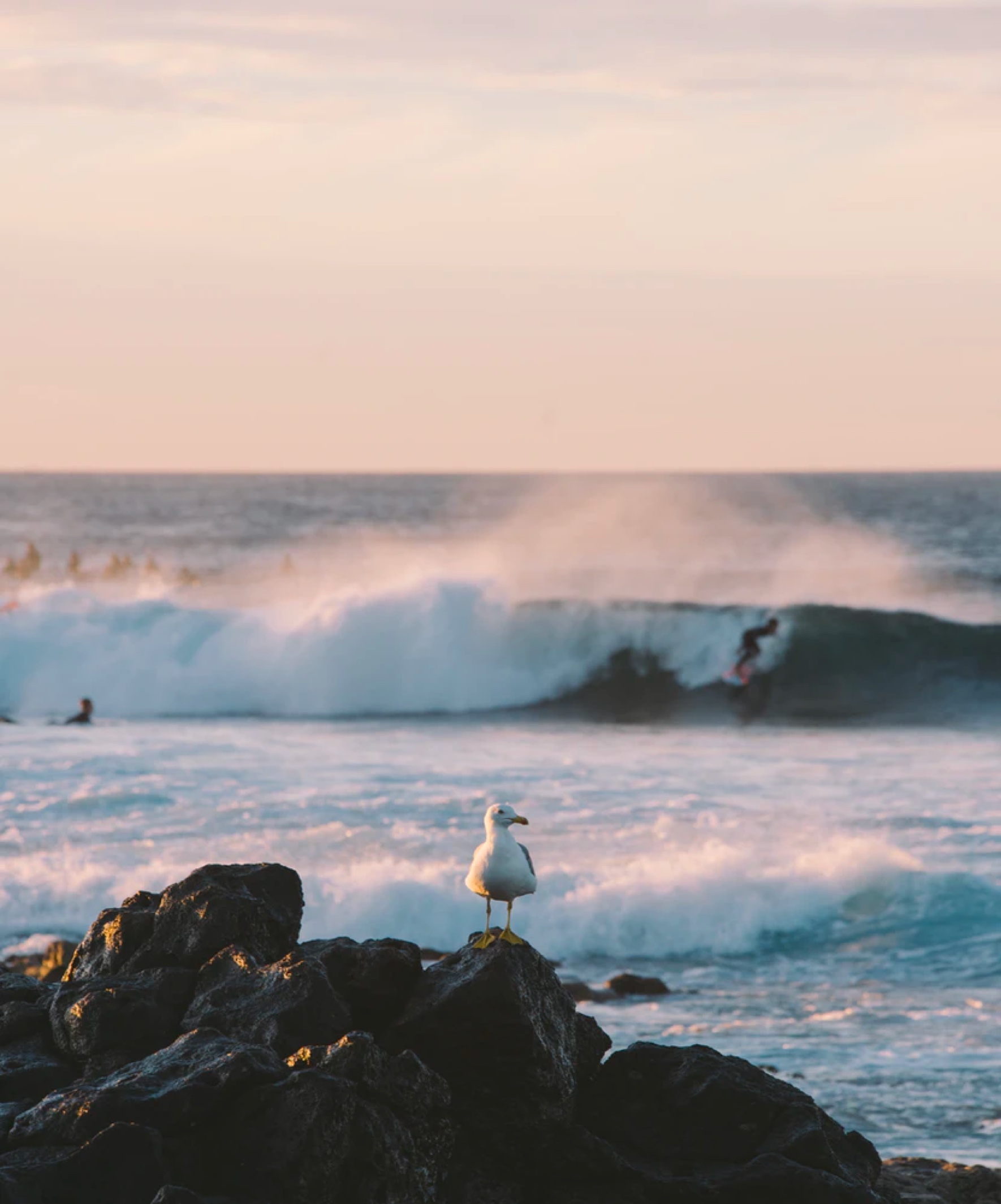
Aerial surveys of the Galloper Wind Farm (GWF) site using high resolution digital photography were conducted on the 29th and 30th March 2014. Images collected have been analysed and ten percent of birds have been Quality Assured internally and externally. The raw counts of animals recorded are presented. This survey was carried out to meet the aims and objectives of the work required by Galloper Wind Farm Limited (GWFL) to assess lesser black-backed gull (LBBG) distribution, abundance and behaviour within the GWF area.
 Series
2013, Gardline, Galloper, Geotechnical Survey
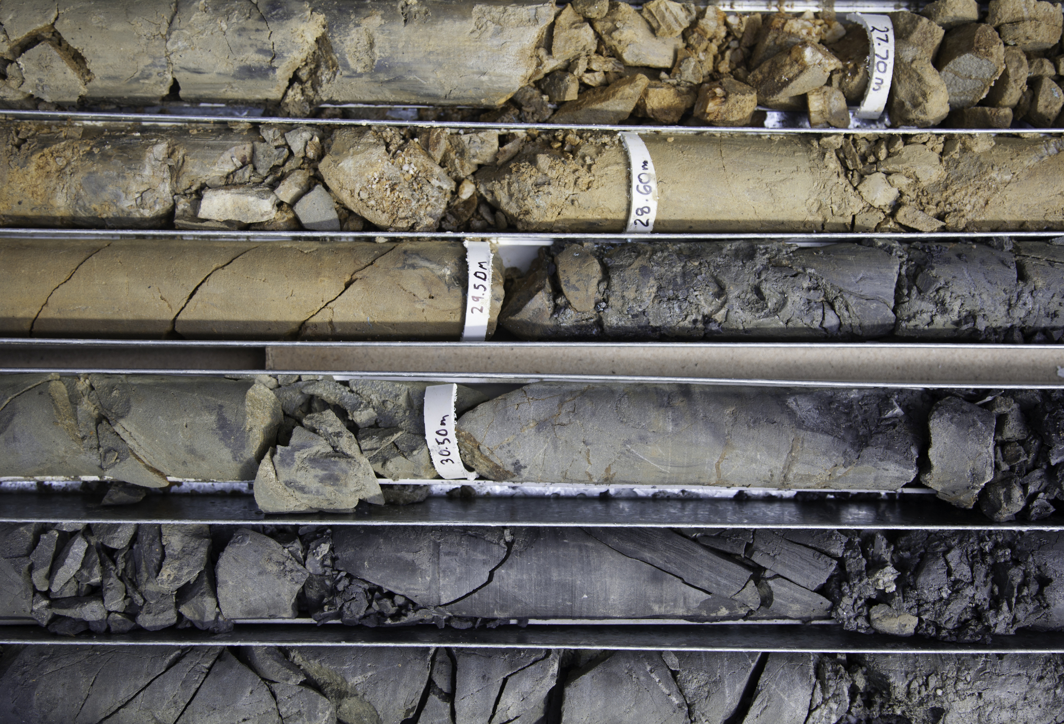
This report presents the CPTU test data acquired along with the sampling borehole logs and laboratory test results for Galloper Wind Farm Ltd during the fieldwork investigation at the proposed Galloper Offshore Wind Farm site. The Galloper Offshore Wind Farm is located approximately 26km – 53km off the coast of Suffolk, in the North Sea (location shown in Figure B1).
 Series
2013, Gardline, Galloper, Phase 2 Geophysical Survey
Gardline Geosurvey Ltd was contracted to undertake survey operations within the proposed Galloper Offshore Wind Farm area, commencing on 23-Apr-2013, in support of Gardline Geosciences Ltd. Gardline Geosciences Ltd was contracted to undertake Geotechnical Boreholes and Cone Penetrometer Tests (CPTs) planned on the proposed Galloper Offshore Wind Farm area. These tests were to assist planning and design over 48 Wind Turbine Generator (WTG) locations and one Offshore Site Platform (OSP) location. Reporting for the project has been sub-divided into four volumes.
 Series
2012, Fugro GeoConsulting, Galloper, Geotechnical Site Investigation
Fugro GeoConsulting Limited was requested by Galloper Wind Farm Limited (GWF) to perform a geotechnical investigation at the Galloper Wind Farm site in Block 57, UK Sector of the North Sea.
 Series
2012-2014, Atkins, Galloper, Soil Parameters for Design
Galloper Wind Farm Ltd (GWFL) plans to develop an Offshore Wind Farm in the UK’s southern North Sea immediately adjacent to the currently operational Greater Gabbard Wind Farm. The purpose of this report is to provide geotechnical soil parameters for use in the jacket foundation design for the Wind Turbine Generators (WTG) across the site. The parameters presented are not appropriate for the OSP foundation design. For the OSP foundation design the designer should refer to Atkins (2013). A general and site location plan is presented on Plates 2-1 and Plates 2-2, respectively. A detailed location plan of the area covered by this report, hereafter referred to as ‘the site’, is shown on Plates 2-3 (Area A) and 2-4 (Area B) together with the latest WTG planned array. The water depths in the locations investigated are in the range of 26-40m, averaging at 35m relative to Lowest Astronomical Tide (LAT).
Series2012, Wessex Archaeology, Galloper, Geotechnical Survey and Geoarchaeological Review
Wessex Archaeology was commissioned by Galloper Wind Farm Ltd to prepare an archaeological Written Scheme of Investigation Method Statement for the geotechnical survey techniques and geoarchaeological review of the results of the geotechnical survey associated with the proposed wind farm extension scheme.
 Series
2012, EMU, Galloper, Phase 1 Geophysical Site Investigation Surveys
EMU Limited (EMU) was commissioned by Galloper Wind Farm Limited (GWFL) to conduct a geophysical investigation and provide detailed seabed information on the Galloper Offshore Wind Farm UXO and Shallow Gas Surveys project. The survey was required in order to mitigate the risks of UXO and shallow gas before phase 1 works affecting the seabed are carried out. The UXO Survey consisted of 40 sites each covering 150 x 150 m whilst the Shallow Gas Survey comprised of 200 m x 200 m area over the same 40 sites. The site comprised of two areas, A and B, which were located between 26 km and 53 km off the coast of East Anglia. Area A contained 29 survey sites and Area B contained 11 survey sites. The UXO surveys required full magnetometer coverage based on a maximum sensor spacing of 6 m as well as 200% coverage for sidescan sonar, and multibeam bathymetry. The shallow gas surveys required 5 main multi-channel seismic lines and 5 cross lines on each site. The aims of the survey were to: - Locate any potential UXO hazards that may be present on the seabed or buried at a shallow depth within each survey area using a multiple magnetometer array; - Locate any accumulations of shallow gas using multichannel seismic data; - Produce a comprehensive report on the survey results.
 Series
2009-2010, CMACS, Galloper, Benthic Survey
This document reports benthic environmental survey work carried out in relation to the proposed Galloper Offshore Wind Farm development. The surveys were undertaken to support an environmental impact assessment to be undertaken by others. A combination of benthic grab sampling, camera survey and beam trawling was undertaken by CMACS Ltd, supported by Aquatech Ltd and Osiris Projects Ltd survey vessels. This survey supplements the 2009-2010 Osiris Projects, Galloper Offshore Wind Farm, Geophysical and Benthic Ecology Survey.
 Series
2009-2010, Osiris Projects, Galloper, Geophysical and Benthic Ecology Survey
Osiris Projects were commissioned in July 2009 by Airtricity Developments (UK) Ltd, (Airtricity), (since acquired by Scottish and Southern Energy Renewables - SSER) to undertake an extensive hydrographic, geophysical and benthic environmental survey in the Outer Thames Estuary, as part of the programme to extend the existing Greater Gabbard Offshore Wind Farm (GGOWF). This programme will be known as the Galloper Wind Farm (GWF). The survey was undertaken under Airtricity Contract Reference '09.0558.G' 'Benthic & Geophysical Survey Services for the Environmental Impact Assessment (EIA)' and was substantially completed during the period 3r d August to 5t h December 2009, at which point the GWF survey was postponed due to prolonged periods of severe weather. The surveys were eventually completed during the period 16th February to 14th March 2010.
 Series
2008-2009, Brown and May Marine, Galloper, Fish Surveys
Brown and May Marine Ltd was commissioned by Greater Gabbard Offshore Winds Limited (GGOWL) to undertake a series of pre-construction adult and juvenile fish surveys in the area relevant to the Greater Gabbard Offshore Wind Farm extension. The wind farm is to be located 25km off the coast of Suffolk around the Inner Gabbard and Galloper sandbanks. The methodology, vessel and gears to be used were agreed in consultation with Cefas, Lowestoft and Royal Haskoning. A survey and a report were generated for both the Autumn/Winter period of 2008, and the Spring of 2009. This series also contains the GIS datasets that correlate with these reports.