

2022-2023, University of St Andrews, Marine Characterisation Research Project, Targeted Acoustic Startle Technology (TAST; WP8)
Summary
Data & downloads
Datasets
Related Pages
 Series
2024, RSPB, Morlais, Marine Characterisation Research Project, LoRaWAN seabird tagging (WP15c; Phase 2)
Legring Longrange radio (LoRa) seabird tags were developed for Common Guillemot by an engineering team from RSPB, Arribada, Copernicus as part of WP15c on behalf of Menter Mon. Year 1 tag fitment (2023) was unsuccessful but trial deployments were undertaken on the Marinus buoy and geese at WWT Slimbridge. 5 solar powered rings were fitted by RSPB in June 2024 and data was received from these by an array of 4 time of arrival (TDoA) gateways. These were installed around the site at The Range, RSPB South Stack visitor centre, Elins Tower and South Stack lighthouse owned by Trinity House which was arranged by contract. Seabird tracking is short lived based on tags attached by tape so a legring device allows data over a longer duration.
 Series
2023-2024, RSPB, Marine Characterisation Research Project, LoRaWAN seabird tagging (WP15c)
This series was collected as part of the Marine Characterisation project (MCRP) which forms part of the Morlais tidal energy project, managed by Menter Môn and funded by the European Regional Development Fund and The Crown Estate. The aim of this project was to research, develop and manufacture solar powered avian leg ring tags using LoRa technology which is already proven in a number of areas including agriculture and conservation. Access to the MCRP data is strictly subject to the MCRP Data Terms of Use. Please ensure that you read and understand the Terms of Use prior to using any of the data as you will be bound to comply with the same. The MCRP Terms of Use are the prevailing Terms of Use and supersede that of Marine Data Exchange Terms of Use in relation to MCRP data.
 Series
2022-2023, University of St Andrews and Sea Mammal Research Unit and Scottish Oceans Institute, Marine Characterisation Research Project, Seal Tagging (WP13)
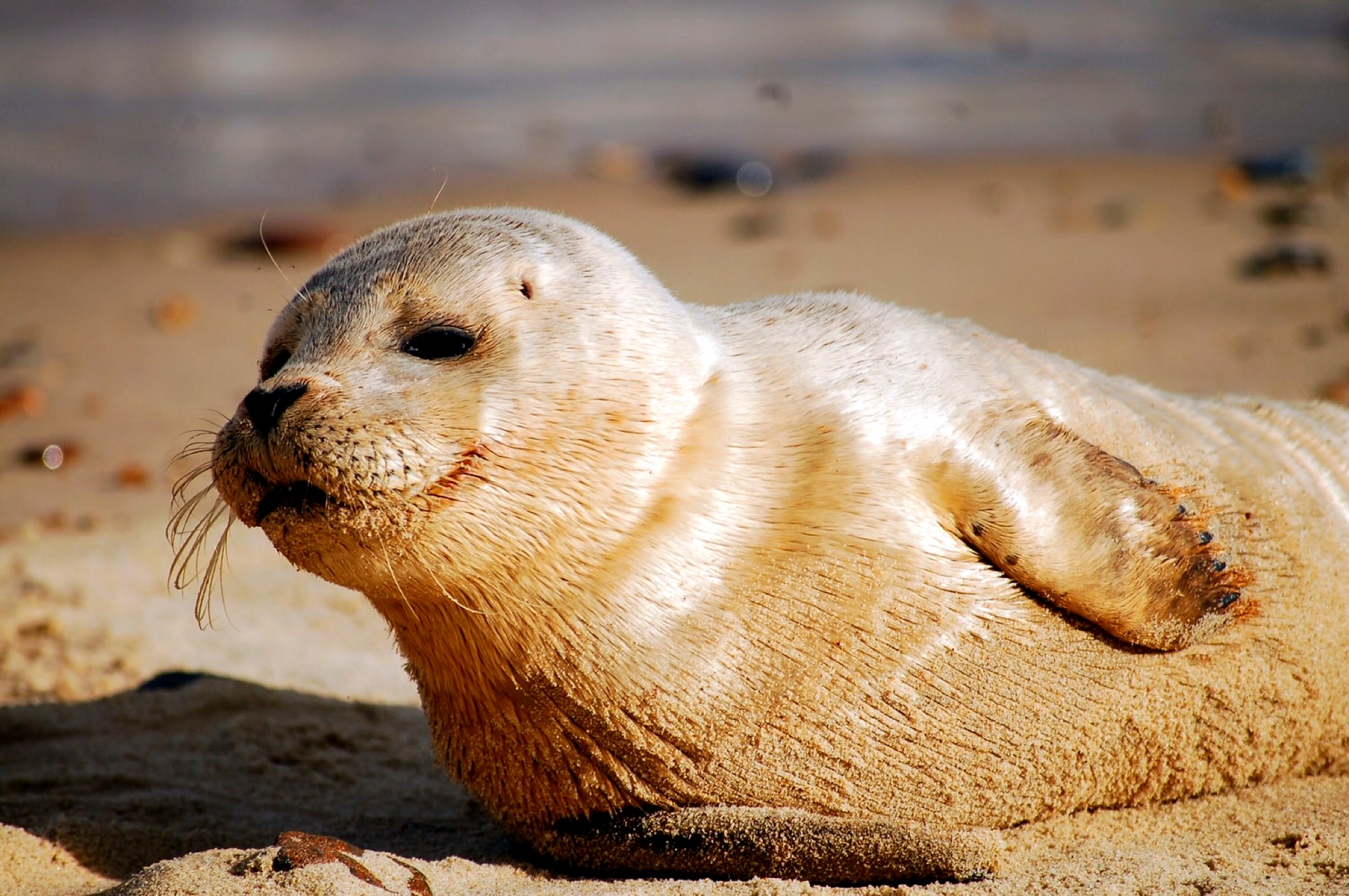
This data series was collected for the Marine Characterisation project (MCRP) which forms part of the Morlais tidal energy project, managed by Menter Môn and funded by the European Regional Development Fund and The Crown Estate. WP13 will assess the use of the area within and surrounding the Morlais Demonstration Zone (MDZ) by grey seals (Halichoerus grypus). Twenty SMRU Instrumentation GPS Phone Tags were deployed on grey seals in July/August 2023 which collect GPS locations and dive data over a period of months. The tags were successfully deployed over a two-week period on both sexes and across age-classes of seals. Data collected will be analysed to provide an understanding of seal distribution and behaviour within the MDZ, and a quantitative assessment of dive data will be conducted to quantify the relative time spent in the at-risk depths of turbine rotor blades. GPS/GSM (Global Positioning System/Global System for Mobile communication) tags deployed on grey seals in the area surrounding the Morlais Marine Demonstration Zone around the coast of Anglesey to collect data on their distribution, movement, and behaviour. These tags record data on the at-sea locations and dive depths of seals. Access to the MCRP data is strictly subject to the MCRP Data Terms of Use. Please ensure that you read and understand the Terms of Use prior to using any of the data as you will be bound to comply with the same. The MCRP Terms of Use are the prevailing Terms of Use and supersede that of Marine Data Exchange Terms of Use in relation to MCRP data.
Series2023, Sea Mammal Research Unit, Morlais, Marine Characterisation Research Project - Active Sonar (WP2)
The series is comprised of data collected from active sonar sensors deployed near a seabed turbine. Utilising a dual sonar and PAM system to detect, classify, and track marine mammals this can be used to form a basis for monitoring the underwater movements of marine mammals around operational tidal turbines. The data has been processed to detect primarily seals (large fish and seabirds are also detected, but are not the target species). Access to the MCRP data is strictly subject to the MCRP Data Terms of Use. Please ensure that you read and understand the Terms of Use prior to using any of the data as you will be bound to comply with the same. The MCRP Terms of Use are the prevailing Terms of Use and supersede that of Marine Data Exchange Terms of Use in relation to MCRP data.
Series2023-2024, Ocean Science Consulting, Marine Characterisation Research Project, Surface (WP3) and Underwater (WP4) Imaging
This data series was collected for the Marine Characterisation project (MCRP) which forms part of the Morlais tidal energy project, managed by Menter Môn and funded by the European Regional Development Fund and The Crown Estate. This series consists of data collected from a camera system, consisting of a subsea RGB camera and associated computers and power supply, developed and deployed on a buoy at the Morlais Demonstration Zone (MDZ). This subsea camera collected data and ran a custom Machine Learning (ML) detection algorithm in real-time. Data were successfully recorded over a four month and 16-day period during four deployments. These data have been collected to investigate the feasibility of surface (data from 2023, Ocean Science Consulting ltd, Marine Characterisation Research Project, Surface Imaging (WP3)') and underwater cameras to detect marine fauna, with the aim of providing an automatic detection and classification system for marine animals to enable the automatic triggering of deterrents on a tidal turbine energy site in Wales. This series also contains the surface imagery collected through shore-based surveys to record diving seabird presence and behaviour within demonstration zone of tidal turbine site in Wales, up to 5 km from land. Nest surveys also conducted to calculate trip duration of adults from nests during breeding season. Access to the MCRP data is strictly subject to the MCRP Data Terms of Use. Please ensure that you read and understand the Terms of Use prior to using any of the data as you will be bound to comply with the same. The MCRP Terms of Use are the prevailing Terms of Use and supersede that of Marine Data Exchange Terms of Use in relation to MCRP data.
 Series
2022-2023, University of St Andrews, Morlais, Marine Characterisation Research Project, Towed PAM (WP15b)
Data collected on multi-channel hydrophone arrays to determine 3D locations of cetaceans off the Holyhead coast. Trials where the essential concept was to mount an array of hydrophones and coaligned orientation sensors within a streamlined acoustically transparent free-flooding enclosure. In this way flow noise over the hydrophones should be minimised and the hydrophone array should be protected from physical damage. The array and enclosure went through three design iterations during the project. These rebuilds involved simplifying the design and reducing the size of the streamlined body and internal hydrophone frame, and improving ballasting configurations to minimise roll, resolving a tendency for the array to rotate completely while being towed. Here the latest and best-performing version is outlined. Access to the MCRP data is strictly subject to the MCRP Data Terms of Use. Please ensure that you read and understand the Terms of Use prior to using any of the data as you will be bound to comply with the same. The MCRP Terms of Use are the prevailing Terms of Use and supersede that of Marine Data Exchange Terms of Use in relation to MCRP data.
Series2022-2023, Bangor University, Marine Characterisation Research Project, Aerial Drone Broad scale surveys (WP12)
These data were collected collected for the Marine Characterisation project (MCRP) which forms part of the Morlais tidal energy project, managed by Menter Môn and funded by the European Regional Development Fund and The Crown Estate. The series is comprised of vertical aerial UAV imagery collected during line transect surveys to capture abundance and distribution of marine mammal and seabird species around the Morlais tidal turbine Magellanes site. Please see other data packages associated with WP12: 2022-2023, Bangor University, Marine Characterisation Research Project, Aerial Drone Fine scale surveys (WP12) Access to the MCRP data is strictly subject to the MCRP Data Terms of Use. Please ensure that you read and understand the Terms of Use prior to using any of the data as you will be bound to comply with the same. The MCRP Terms of Use are the prevailing Terms of Use and supersede that of Marine Data Exchange Terms of Use in relation to MCRP data.
 Series
2022-2023, Bangor University, Morlais, Marine Characterisation Research Project - Echosounder surveys (WP11)
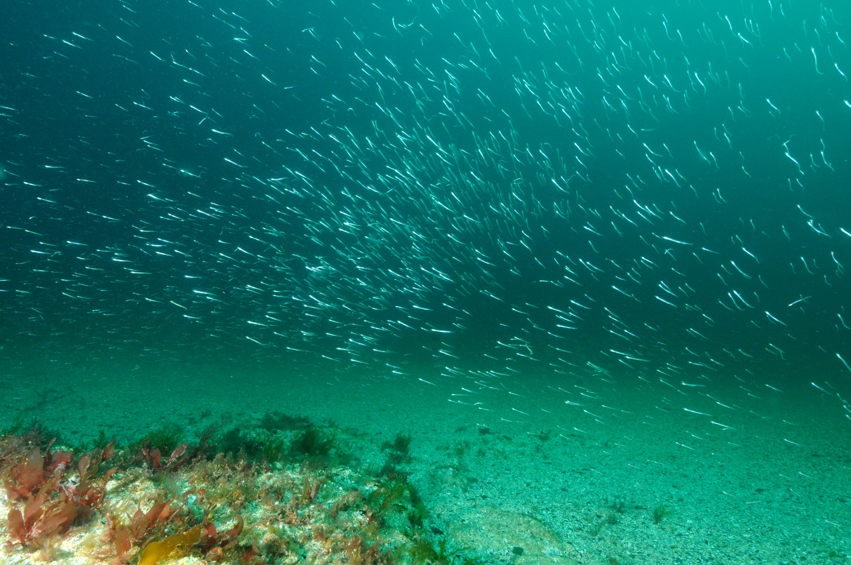
This dataset is comprised of echosounder measurements carried out within the Morlais Demonstration zone as part of the Marine Characterisation Research Project (MCRP) to estimate prey availability in the study site. These data support monthly boat based line transect surveys collected to understand spatial and temporal variation in the distribution of seabirds and marine mammals. The Morlais Demonstration Zone (MDZ) is situated off West Anglesey and has consent for development as a tidal stream energy site. Please see other data packages associated with WP11: 2022-2023, Bangor University, Marine Characterisation Research Project, Seabird and marine mammal observations (WP11) 2022-2023, Bangor University, Marine Characterisation Research Project, Marine mammal Acoustic Surveys (WP11) Access to the MCRP data is strictly subject to the MCRP Data Terms of Use. Please ensure that you read and understand the Terms of Use prior to using any of the data as you will be bound to comply with the same. The MCRP Terms of Use are the prevailing Terms of Use and supersede that of Marine Data Exchange Terms of Use in relation to MCRP data.
 Series
2023, Subacoustech, Marine Characterisation Research Project, Monitoring and modelling of underwater noise (WP10)
This data series was collected for the Marine Characterisation project (MCRP) which forms part of the Morlais tidal energy project, managed by Menter Môn and funded by the European Regional Development Fund and The Crown Estate. The Morlais Demonstration Zone (MDZ) is a region of the Irish Sea to the west of Anglesey that has been identified as suitable for operation of Tidal Energy Converter devices (TECs). Four acoustic transects were conducted within the MDZ to investigate the pre-existing background noise levels. This is part of the first step towards assessing potential underwater noise that could be generated by these devices and allows for assessment of the impacts these devices could have on marine life present in the area. Access to the MCRP data is strictly subject to the MCRP Data Terms of Use. Please ensure that you read and understand the Terms of Use prior to using any of the data as you will be bound to comply with the same. The MCRP Terms of Use are the prevailing Terms of Use and supersede that of Marine Data Exchange Terms of Use in relation to MCRP data.
 Series
2022-2023, Sea Mammal Research Unit and University of Bangor, Morlais, Marine Characterisation Research Project, Seabird and marine mammal observations (WP1a)
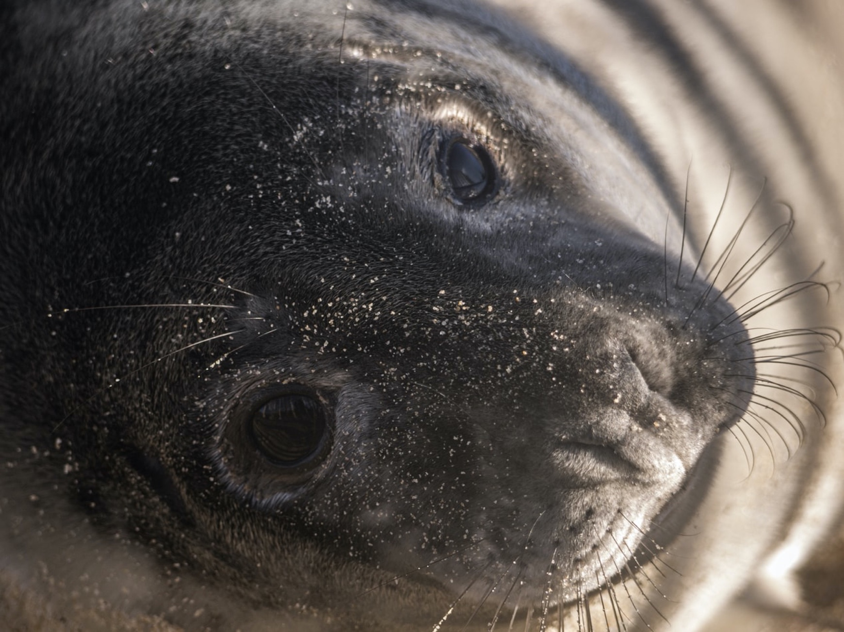
This series is comprised of data collected from the deployment of 15 soundtrap recorders used to collect baseline data on the occurrence and relative abundance of vocalising cetacean species in and around the Morlais Development Zone (MDZ). Each soundtrap was configured to record continuous data at 48kHz and to run a high frequency click detector on data sampled at 384kHz. Species of interest are common dolphin (Delphinus delphis), bottlenose dolphin (Tursiops truncatus), Risso’s dolphin (Grampus griseus), harbour porpoise (Phocoena phocoena), and minke whales (Balaenoptera acutorostrata). Between them, these species vocalise over a wide frequency range, from 70Hz pulses of minke whales, to 130kHz clicks of harbour porpoise. To capture such a wide range of sounds, SoundTraps (oceaninstuments.co.nz) were used for data collection, which acquire data at a sample rate of 384kHz and combine automatic high frequency click detection to capture high frequency odontocete echolocation clicks, and continuous recording of the data resampled at 48kHz which can be used to detect dolphin whistles and minke whale pulsed calls. Access to the MCRP data is strictly subject to the MCRP Data Terms of Use. Please ensure that you read and understand the Terms of Use prior to using any of the data as you will be bound to comply with the same. The MCRP Terms of Use are the prevailing Terms of Use and supersede that of Marine Data Exchange Terms of Use in relation to MCRP data.
Series2022-2023, University of St Andrews, Marine Characterisation Research Project, Harbour Porpoise Dive Profiles (WP1b)
This data series was collected for the Marine Characterisation project (MCRP) which forms part of the Morlais tidal energy project, managed by Menter Môn and funded by the European Regional Development Fund and The Crown Estate. Data collected on multi-channel hydrophone arrays to determine 3D locations of cetaceans off the Holyhead coast. Two passive acoustic monitoring (PAM) approaches have been developed for measuring the underwater behaviour of porpoises and dolphins using passive acoustic localisation. One approach was designed to collect behavioural data over large spatial areas and the other can be targeted at specific locations. Access to the MCRP data is strictly subject to the MCRP Data Terms of Use. Please ensure that you read and understand the Terms of Use prior to using any of the data as you will be bound to comply with the same. The MCRP Terms of Use are the prevailing Terms of Use and supersede that of Marine Data Exchange Terms of Use in relation to MCRP data.
 Series
2022-2023, Bangor University, Marine Characterisation Research Project, Aerial Drone Fine scale surveys (WP12)
These data were collected for the Marine Characterisation project (MCRP) which forms part of the Morlais tidal energy project, managed by Menter Môn and funded by the European Regional Development Fund and The Crown Estate. The series is comprised of Fine-scale boat based drone surveys consisting of multiple drone (multirotor drone type DJI Mavic 3) video hovers (stationary drone with a downward-facing camera) at minimum altitudes of 40 m to monitor the site for marine fauna (seabirds and marine mammals) abundance and behaviour prior to tidal energy device installation. Please see other data packages associated with WP12: 2022-2023, Bangor University, Marine Characterisation Research Project, Aerial Drone Broad scale surveys (WP12) Access to the MCRP data is strictly subject to the MCRP Data Terms of Use. Please ensure that you read and understand the Terms of Use prior to using any of the data as you will be bound to comply with the same. The MCRP Terms of Use are the prevailing Terms of Use and supersede that of Marine Data Exchange Terms of Use in relation to MCRP data.