

2002-2003, RPS Hydrosearch, Gunfleet Sands 1 and 2, Summary and Collation of Oceanographic Data
Summary
Data & downloads
Datasets
Related Pages
 Series
2016, PLA Hydrographic Service, Gunfleet Sands 1 and 2, Sub-Station Asset Integrity Survey
The purpose of the document in this series is to report upon the acquisition, processing and rendering of bathymetric survey data in support of the asset integrity multibeam survey undertaken at the Gunfleet Sands 1 & 2 Windfarm in the Thames Estuary. The survey data was collected utilising the PLA survey vessel s/v Maplin fitted with a high resolution R2Sonic 2024 multibeam echosounder operated in a single head configuration. In order to best utilise favourable tide and weather period’s, acquisition was accomplished on 13th December 2016. The acquired and processed data was of high quality and coverage and sounding density and associated specifications set by the client were met. The scope of the GFS 01 & 02 survey was to survey the Offshore Substation (OSS).
 Series
2015, MMT, Gunfleet Sands 1 and 2, Export Cable Depth of Burial Survey
Depth of burial (DoB) survey in 2015 of the approximately 8.5 km long Gunfleet Sands 1 and 2 Export Cable.
 Series
2014, PLA Hydrographic Service, Gunfleet Sands 1 and 2, Scour Rectification Bathymetric Survey
The Port of London Authority (PLA) Hydrographic Service was commissioned by DONG Energy to undertake a Multibeam Echosounder (MBES) survey at the Gunfleet Sands 1 & 2 Offshore Windfarm in the Thames Estuary. The scope of work, for the November 2014 survey included: MBES survey of 300m x 300m box around 5 sites including high resolution survey of the J-tubes/ rock protected areas. This series covers survey elements which were undertaken on the 26th & 27th November 2014, around the Substation and WTG locations E04, F05, F08 and G06. The survey work was carried out using the PLA survey vessel ‘Yantlet’, with bathymetric data being collected using a hull-mounted Reson SeaBat 8125h MBES.
Series2012, PLA Hydrographic Service, Gunfleet Sands 1 and 2, Export Cable and Substation Inspection Surveys (Autumn 2012)
The Port of London Authority (PLA) Hydrographic Service was commissioned by DONG Energy to undertake repeat Multibeam Echosounder (MBES) surveys at the Gunfleet Sands Offshore Windfarm in the Thames Estuary. Previous surveys have been conducted at 6 monthly intervals from September 2010. The surveys are required for the FEPA Licence Numbers: Gunfleet Sands I & II (GF1L/2011/0064/9 & GF2 L/2011/00065/3) Offshore Windfarm. This series covers survey elements which were undertaken on the 1st September 2012. The survey work was carried out using the PLA survey vessel ‘Yantlet’, with bathymetric data being collected using a hull-mounted Reson SeaBat 8125h MBES.
 Series
2012, PLA Hydrographic Service, Gunfleet Sands 1 and 2, Wind Turbine Inspection Surveys (Autumn 2012)
The Port of London Authority (PLA) Hydrographic Service was commissioned by DONG Energy to undertake repeat Multibeam Echosounder (MBES) surveys at the Gunfleet Sands Offshore Windfarm in the Thames Estuary. Previous surveys have been conducted at 6 monthly intervals from September 2010. The surveys are required for the FEPA Licence Numbers: Gunfleet Sands I & II (GF1L/2011/0064/9 & GF2 L/2011/00065/3) Offshore Windfarm. The scope of work, for the September 2012 survey, was as undertaken in 2010 which included: 1. MBES survey the seabed of an area 2400m x 100m around and between six adjacent turbines, namely A6 to F6. 2. For 2011, a requirement for additional works and analysis identified by DONG Energy, namely: - Volume calculations at each of the six turbine sites, difference surface charts. 3. For March 2012 there was a requirement to delineate the full extent of scour from the turbines. This series covers survey elements which were undertaken on the 1st September 2012 around turbines A6-F6. The survey work was carried out using the PLA survey vessel ‘Yantlet’, with bathymetric data being collected using a hull-mounted Reson SeaBat 8125h MBES.
 Series
2012-2013, GoBe, Gunfleet Sands 1 and 2, Year 3 - Environmental Monitoring Report
This monitoring summary report has been prepared by DONG Energy as part of the Marine Licence monitoring program for the Gunfleet Sands I & II Offshore Wind Farm, under Marine Licences L/2011/00064/9 and L/2011/00065/3 respectively. This report describes the environmental monitoring completed during the third year post construction period running from May 2012 – April 2013, in line with the requirements of the Gunfleet Sands I & II Marine Licences. Individual technical surveys and studies form the basis for this monitoring summary report. Full copies of the technical reports may be obtained on request.
Series2012, PLA Hydrographic Service, Gunfleet Sands 1 and 2, Export Cable And Substation Inspection Surveys (Spring 2012)
The Port of London Authority (PLA) Hydrographic Service was commissioned by DONG Energy to undertake repeat Multibeam Echosounder (MBES) and Side Scan Sonar (SSS) surveys at the Gunfleet Sands Offshore Windfarm in the Thames Estuary. Previous surveys have been conducted at 6 monthly intervals from September 2010. The surveys are required for the FEPA Licence Numbers: Gunfleet Sands I & II (GF1L/2011/0064/9 & GF2 L/2011/00065/3) Offshore Windfarm. The scope of work, for the March 2012 survey, was as undertaken in 2010 which included: 1. MBES and SSS survey of 100m wide corridor along Export Cable Route between the windfarm substation and landfall site, to the east of Clacton-on-Sea. 2. For 2011, a requirement for additional works and analysis identified by DONG Energy, namely: - difference surface along export line, and comments on wider area geomorphology and bathymetric changes. 3. For August 2011 the scour around the substation was assessed and compared against previous surveys. 4. For March 2012 there was a requirement to delineate the full extent of scour from the substation. This series covers survey elements which were undertaken on the 23rd and 24th March 2012 along the Export Cable Route and around the substation. The survey work was carried out using the PLA survey vessel ‘Yantlet’, with bathymetric data being collected using a hull-mounted Reson SeaBat 8125h MBES and SSS extracted from the bathymetric data in the form of snippets and backscatter.
Series2012, PLA Hydrographic Service, Gunfleet Sands 1 and 2, Wind Turbine Inspection Surveys (Spring 2012)
The Port of London Authority (PLA) Hydrographic Service was commissioned by DONG Energy to undertake repeat Multibeam Echosounder (MBES) surveys at the Gunfleet Sands Offshore Windfarm in the Thames Estuary. Previous surveys have been conducted at 6 monthly intervals from September 2010. The surveys are required for the FEPA Licence Numbers: Gunfleet Sands I & II (GF1L/2011/0064/9 & GF2 L/2011/00065/3) Offshore Windfarm. The scope of work, for the March 2012 survey, was as undertaken in 2010 which included: 1. MBES survey the seabed of an area 2400m x 100m around and between six adjacent turbines, namely A6 to F6. 2. For 2011, a requirement for additional works and analysis identified by DONG Energy, namely: - Volume calculations at each of the six turbine sites, difference surface charts. 3. For March 2012 there was a requirement to delineate the full extent of scour from the turbines. This series covers survey elements which were undertaken on the 23rd and 24th March 2012 around turbines A6-F6. The survey work was carried out using the PLA survey vessel ‘Yantlet’, with bathymetric data being collected using a hull-mounted Reson SeaBat 8125h MBES.
 Series
2012-2013, CT Offshore, Gunfleet Sands 1 and 2, Asset Integrity Survey
The scope of work carried out by CT Offshore was to perform a data analysis based on existing data from previous survey operations, leading to a series of profile charts. These profile charts are to describe the status oft he J-Tube extensions and cables for the foundations where data is available.
 Series
2012, Ocean Scientific International, Gunfleet Sands 1 and 2, Hydrosearch Water Samples and Grain Size Study
Hydrosearch collected two water samples at a depth of 4m below the surface, and two near bed at each site where oceanographic instruments were deployed. The vessel then steamed over the bank between sites and took two more water sampled over the bank itself. Two samples were taken at 6m below the surface, and two near bed for calibration of the turbidity sensor. The project examines the particle size analysis that was carried out on the water samples taken at Gunfleet Sands. Analyses were performed using a Micrometrics Sedigraph 5100, with samples dispersed in 0.05% sodium hexametaphosphate solution. Baseline calibrations were performed on both days to ensure that the Sedigraph was functioning correctly. Both were found to be stable, indicating that the output variability of the X-ray source was low and that the analysis chamber was running smoothly. Error derived from machine operation is therefore expected to be minimal.
 Series
2011-2013, NIRAS, Gunfleet Sands 1 and 2, Years 2 and 3 Ornithological Monitoring
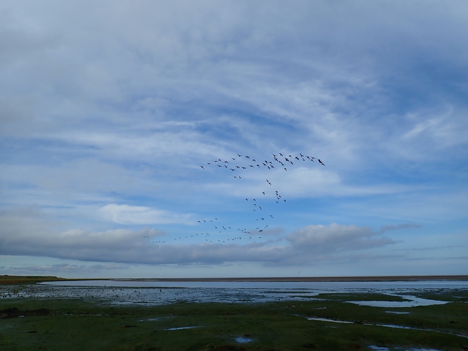
This report describes the results of the second year of post-construction monitoring of birds at Gunfleet Sands 1 and Gunfleet Sands 2 offshore wind farms. Ten boat-based surveys were undertaken within the area occupied by these wind farms and the adjacent areas, between October 2011 and March 2012. The survey methods employed are consistent with those undertaken during the Year 1 post-construction monitoring and previous monitoring periods.
Series2011, PLA Hydrographic Service, Gunfleet Sands 1 and 2, Export Cable and Wind Turbine Inspection Survey
The Port of London Authority (PLA) Hydrographic Service was commissioned by DONG Energy to undertake repeat Multibeam Echosounder (MBES) and Side Scan Sonar (SSS) surveys at the Gunfleet Sands Offshore Windfarm in the Thames Estuary. The previous survey having been undertaken during March 2011 – PLA Reference 113-500-142 Contract Q15/10. The surveys are required for the FEPA Licence Numbers: Gunfleet Sands 1 31919/09/0 and Gunfleet Sands 2 33723/09/0. The scope of work was as undertaken in 2010 which included: 1. MBES and SSS survey of 100m wide corridor along Export Cable Route between the windfarm substation and landfall site, to the east of Clacton-on- Sea. 2. MBES survey the seabed of an area 2400m x 100m around and between six adjacent turbines, namely A6 to F6. 3. For 2011, a requirement for additional works and analysis identified by DONG Energy, namely:- Volume calculations at each of the six turbine sites, difference surface charts at each turbine site, difference surface along export line, and comments on wider area geomorphology and bathymetric changes. 4. For August 2011 the scour around the substation was assessed and compared against previous surveys. This series covers survey elements which were undertaken on the 30th and 31st August 2011 around turbines A6-F6, and along the Export Cable Route.The survey work was carried out using the PLA survey vessel ‘Yantlet’, with bathymetric data being collected using a hull-mounted Reson SeaBat 8125h MBES and SSS extracted from the bathymetric data in the form of snippets and backscatter.