

2003, Offshore Wind Power, Inner Dowsing, Environmental Statement
Summary
Data & downloads
Reports
Related Pages
 Series
2015, EGS, Inner Dowsing, ID16 and ID24 Turbine Clearance Survey
EGS (International) Ltd, on behalf of Centrica, undertook a Side-Scan Sonar (SSS) and Multibeam (MBES) clearance survey centered on the no cable zones (500m by 500m) around WTGs ID16 and ID24 on the Inner Dowsing Site which is located in the southern North Sea, approximately 5km off the coast of Lincolnshire near Skegness. The areas surveyed were identified by Centrica for the upcoming works on the aforementioned turbines and respond to the need to have a jack-up vessel in the locality to complete the works. This report details the operations and results of the survey around all turbines. The work was to ensure the Jack-up vessel jacks up safely within the ‘No Cable Zone’ at each of the three turbines, a geophysical clearance was carried out over a 500m by 500m survey area centred on the No Cable Zone. The primary objectives of the survey were to: - Acquire bathymetric data with 100% coverage within the pre-defined survey area - Acquire side-scan sonar data with 100% coverage within the pre-defined survey area - Use the acquired side-scan sonar and bathymetric datasets to identify obstructions which could impede the arrival of the Jack-up vessel, specifically, existing Jack-up rig foot prints, significant objects and man-made features on the seafloor
 Series
2014, EGS, Inner Dowsing, Turbine ID24 Clearance Survey
After completion of the depth of burial survey of the Lincs Array Cables project, and the Export Cablesurvey, EGS (International) Ltd, on behalf of Centrica, undertook a Side-Scan Sonar (SSS) and Multibeam (MBES) clearance survey of the no cable zones (500m by 500m) around WTGs LS28 (on the Lincs site) and ID24 (on the Inner Dowsing site). The areas surveyed were identified by Centrica for the upcoming works on the aforementioned turbines and the need to get a jack up vessel in the locality to complete the works. This report details the operations and results of the survey around ID24. Port Sutton Bridge was used as the base port of operations for the survey. Mobilisation was carried out in conjunction with the Export Cable survey and was completed on the 4th June 2014. The survey operations took place on the 6th and 7th of June 2014. Demobilisation commenced on the 7th June and was completed on the 8th June 2014. This work was carried out by EGS on behalf of Centrica and this report covers TURBINE ID24 CLEARANCE SURVEY
 Series
2013, Fugro EMU, Inner Dowsing, Photographic Monitoring Survey
The Inner Dowsing Offshore Wind Farm (OWF) was constructed in 2007/08 by Centrica Renewable Energy Limited and comprises 27 x 3.6MW wind turbines installed on monopole foundations. Turbines are connected by inter-array cables and export cables transmit power from the site to a landfall near Skegness, Lincolnshire. Due to mechanical issues, a gear-box within the Inner Dowsing 12 (ID12) wind turbine required replacing in order to ensure continued operation of this turbine. In order to carry out the work required to remove this gear-box and install a new one, a jack-up vessel was required to mobilise to site. The vessel used to undertake these works will jack-up within the long-established “No Cable Zone” (NCZ) for ID12. NCZs are located adjacent to all turbines and are the only areas where jacking-up is permitted in order to remove the risk of damage to subsea cables. The primary objective of this survey is to identify any Sabellaria spinulosa aggregations in the NCZ area with particular emphasis on the proposed jack-up locations and to assess any such aggregations for potential reef status. This work was carried out by Fugro Emu on behalf of Centrica.
 Series
2004, HR Wallingford, Inner Dowsing, Metocean Study
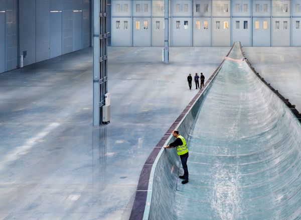
This series contains two reports. The Wind and Wave Data Report describes work commissioned in 1997 by Renewable Energy Systems Limited (RES). RES was assessing the feasibility of offshore windfarms and required wind and wave data at three potential sites situated around the coast of the UK. HR Wallingford supplied the data, having first detailed the various sources available at the different sites and assisted in the decision of the most appropriate source. The UK Meteorological Office (UKMO) wave model archive, that also includes wind data from the LAM numerical weather prediction model, was chosen as the most appropriate source of data. The data were presented in various different forms, and assessment of the accuracy given. A method of converting the wind data to be representative of conditions at 60m elevation, which was considered the likely elevation of the turbines, is also described.
 Series
2003, Ministry of Agriculture, Fisheries and Food (MAFF), Inner Dowsing, Food and Environment Protection Act (FEPA) Licence
The study was carried out in October 2003 to establish and regulate the conditions for constructing the Inner Dowsing offshore wind farm near Skegness, Lincolnshire, under Licence No 31814/03/0. Its purpose was to detail engineering, environmental, and procedural requirements for installing 30 wind turbines, focusing on safeguarding environmental and archaeological resources. The methodology included a combination of detailed engineering designs, extensive regulatory review, stakeholder consultation, specified construction techniques, and comprehensive environmental monitoring through pre-, during, and post-construction surveys and reporting. The conclusions stress the necessity for rigorous compliance with licence conditions, thorough environmental management, and transparent communication with authorities and stakeholders. Key recommendations include strict adherence to all procedures, documented mitigation measures, maintenance of clear reporting lines, adaptive monitoring practices, and continued stakeholder engagement to ensure legal, environmental, and operational integrity throughout the project’s lifecycle.
 Series
2002, Offshore Wind Power Limited, Inner Dowsing, Addendum to the Ornithological Assessment for Environmental Statement
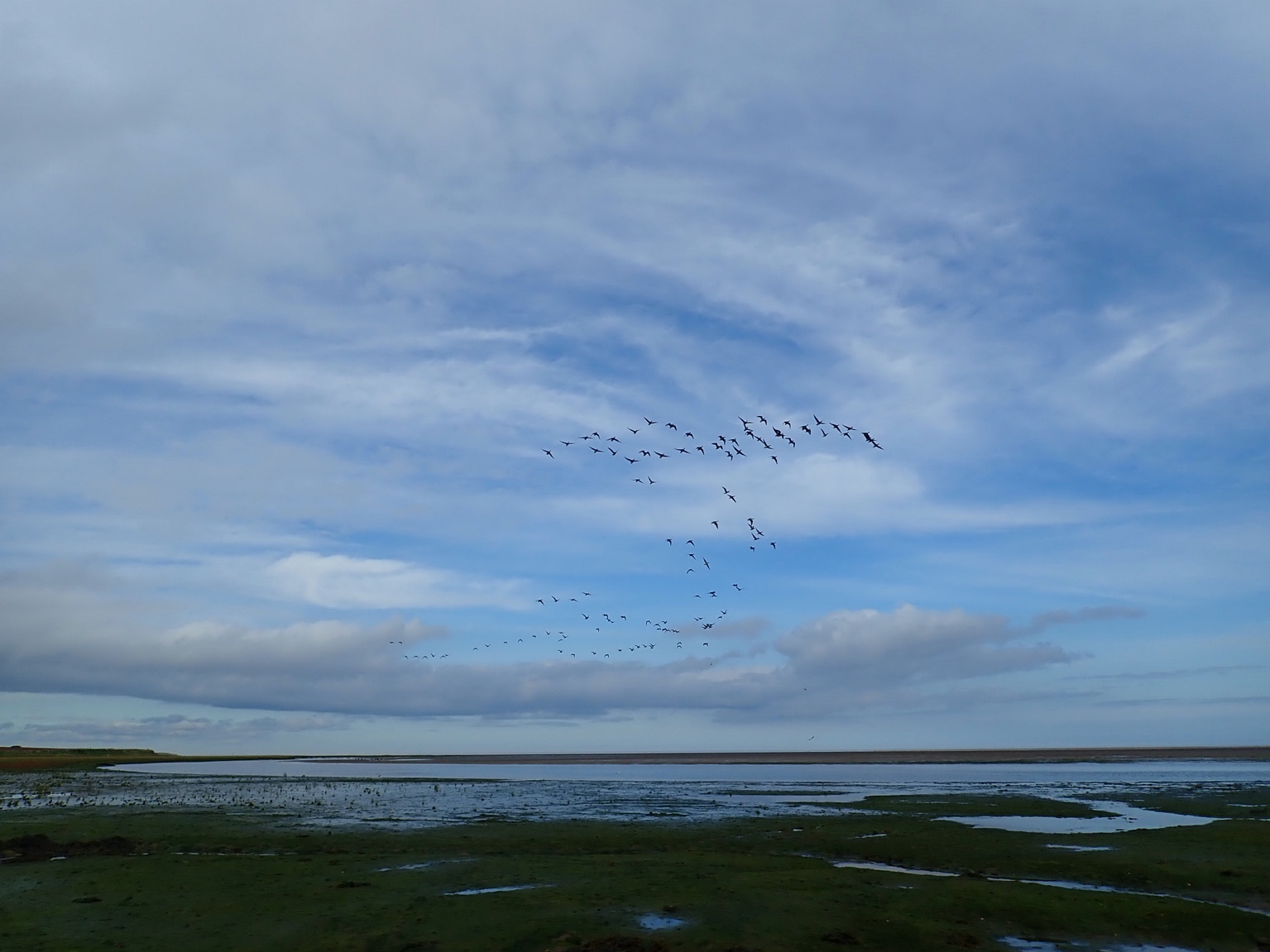
This series contains an addendum to the to the Ornithological Assessment reported in the Environmental Statement (OWPL 2002) for the proposed Inner Dowsing offshore wind farm. The report provides the findings of the thirteenth, fourteenth, fifteenth, sixteenth and seventeenth boat surveys and the results of the overall distance band analyses. Estimated totals for all species recorded in transect extrapolated to the whole wind farm site, and corrected for underestimation of birds seen due to distance, are also provided. Revised conclusions based upon these are also presented. The addendum figures are also provided.