
Summary
This project examines the analysis of the archaeology of the London Array and cable locations, using a variety of investigations, literature, geohysical and geotechnical surveys, review of aerial photograhy.

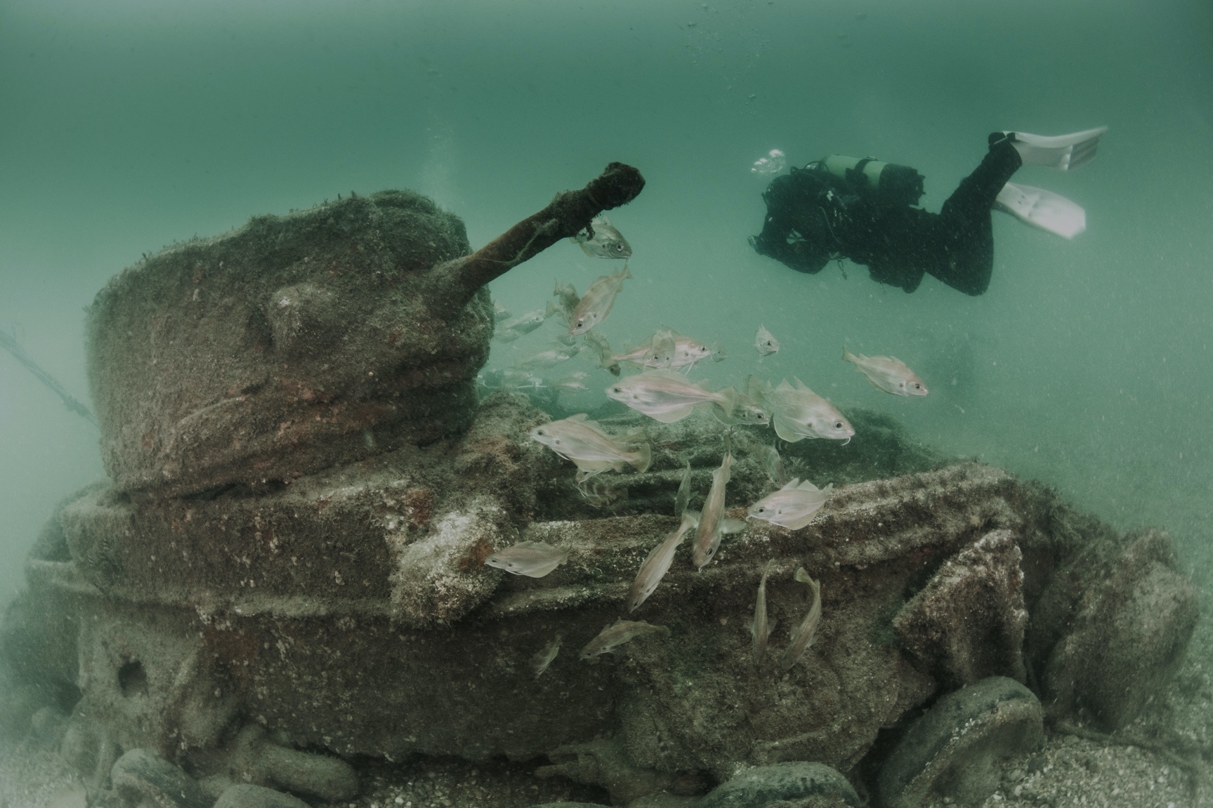
This project examines the analysis of the archaeology of the London Array and cable locations, using a variety of investigations, literature, geohysical and geotechnical surveys, review of aerial photograhy.
Dataset
|Report
|Other
2008 Magnetic Points GIS data
2008 Magnetic points listing
2008 Side Scan Sonar Coordinate Listing
2008 Side Scan Sonar GIS data
2008 Side Scan Sonar and Magnetic anomaly exclusion zon...
2008 Vibrocores GIS data
2008 Wreck exclusion zone GIS data
2009 Final Study Area GIS data
2009 Boreholes Coordinates Listing
Boreholes GIS data
Vibrocore Boreholes Coordinate Listing
Vibrocores Stage 2 GIS data
Vibrocores Stage2 UTM and BNG coordinate listing