

2005-2006, Osiris Projects, Rhyl Flats, Seabed Comparison
Summary
Data & downloads
Reports
Related Pages
 Series
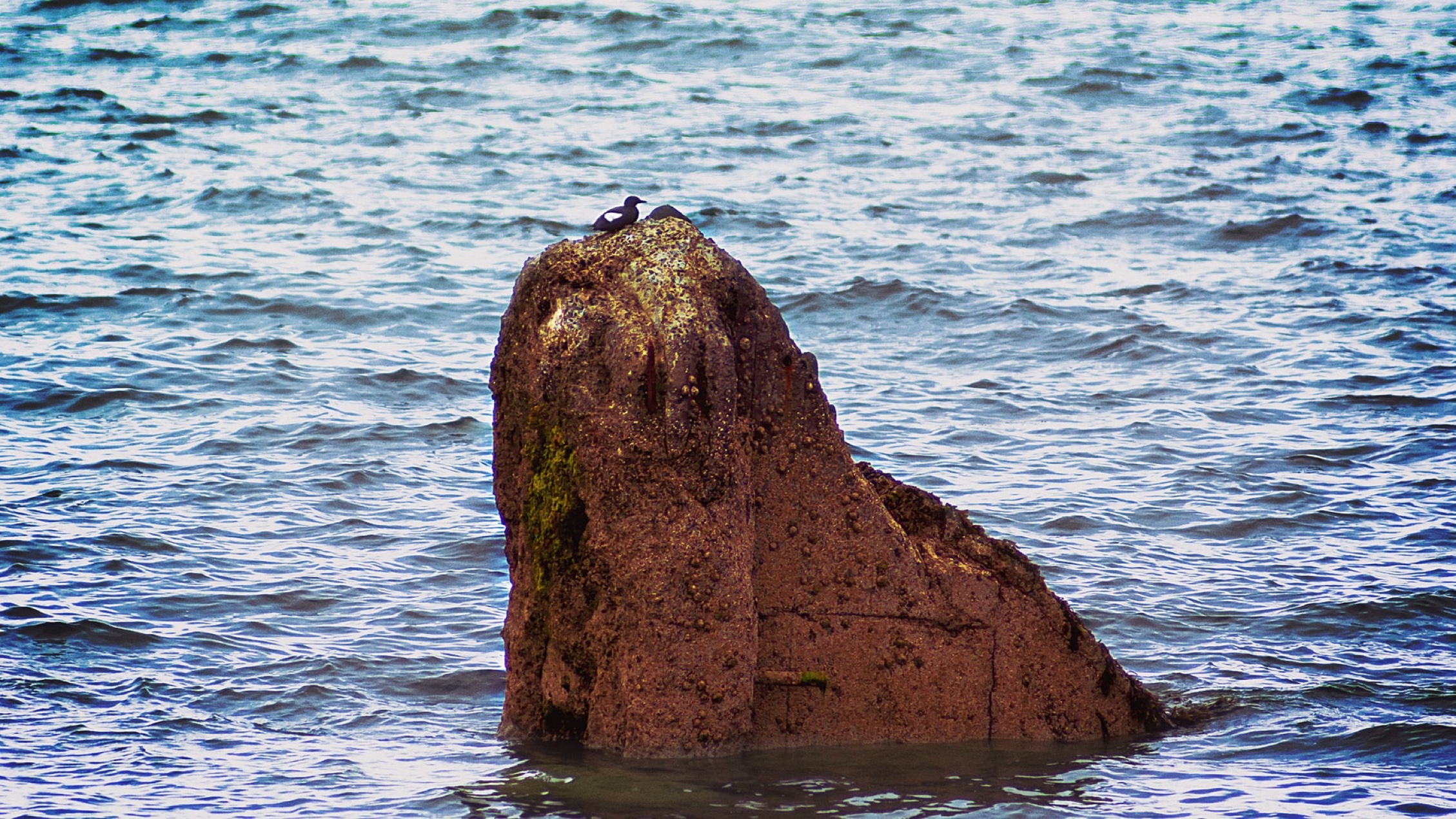
2009, HiDef, Rhyl Flats, Seabirds and Marine Mammals Survey
This dataset comprises the processed output (bird and marine mammal locations and numbers by species) of a high resolution video survey of the Rhyl Flats area. The objective of the trial was to demonstrate the ability of the system to detect and identify divers.
 Series
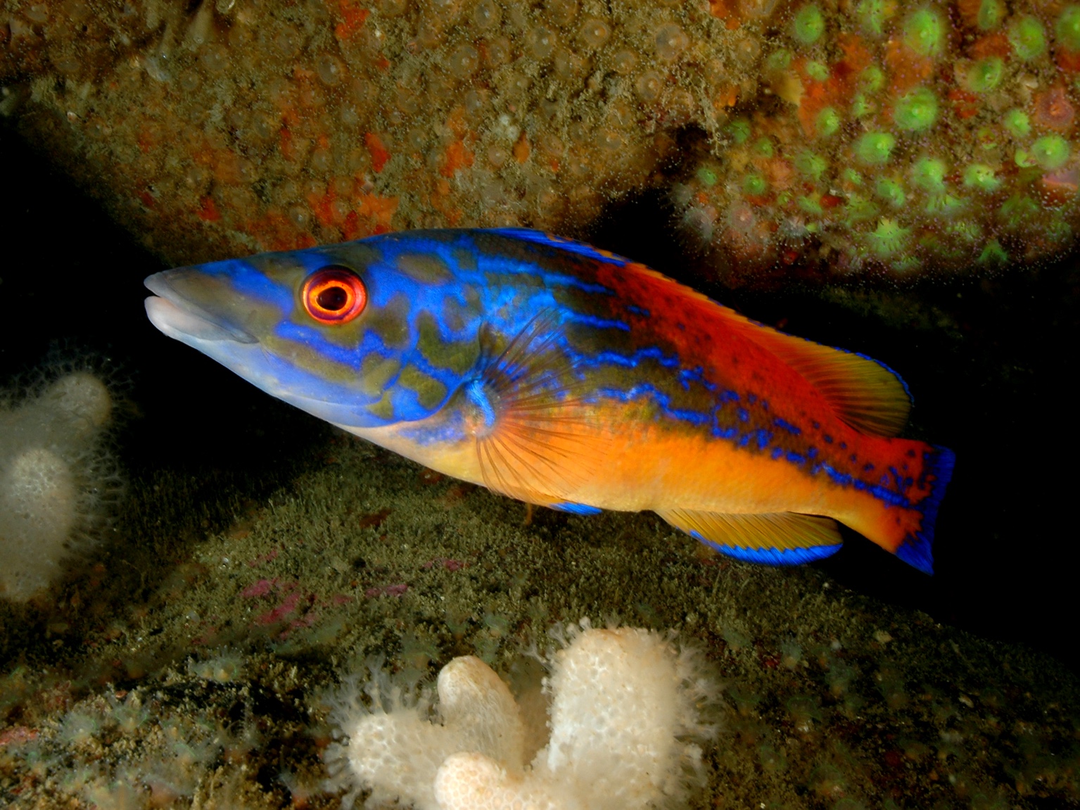
2007, Coastal Fisheries Conservation and Management, Rhyl Flats, Fish and Fisheries Baseline Survey
This project describes the baseline study of fish and fisheries at the site of the Rhyl Flats offshore wind farm. The fish and shell fish fauna of Constable Bank are characteristic of inshore, shallow-water sandy areas around the coast of England and Wales; none is rare. There is a nursery area of both plaice and Dover sole landward of Constable Bank between Colwyn Bay and Rhyl. Several species of national and, or international nature conservation interest have been recorded in and around Liverpool Bay but, with the exception of smelt in the River Conwy, none appear to have a locally - based population.
 Series
2008, NPower Renewables Ltd., Rhyl Flats Offshore Wind Farm, Project Environmental Management Plan Version 2.2
The purpose of the PEMP is to ensure that the construction of the offshore elements of the Rhyl Flats Offshore Wind Farm meets the requirements established by legislation, legal consents and environmental commitments, and that it follows environmental best practice. It contains nine parts: 1. RFOWFL Project Environmental Management Plan 2. RFOWFL Marine Pollution Contingency Plan 3. RFOWFL Archaeological Written Scheme of Investigation 4. MT HØjgaard A/S Environmental Management Plan 5. MT HØjgaard A/S Marine Pollution Contingency Plan 6. MT HØjgaard A/S Dropped Object Plan 7. Oceanteam Power and Umbilical Environmental Management Plan 8. Oceanteam Power and Umbilical Marine Pollution Contingency Plan 9. Oceanteam Power and Umbilical Dropped Object Plan
 Series
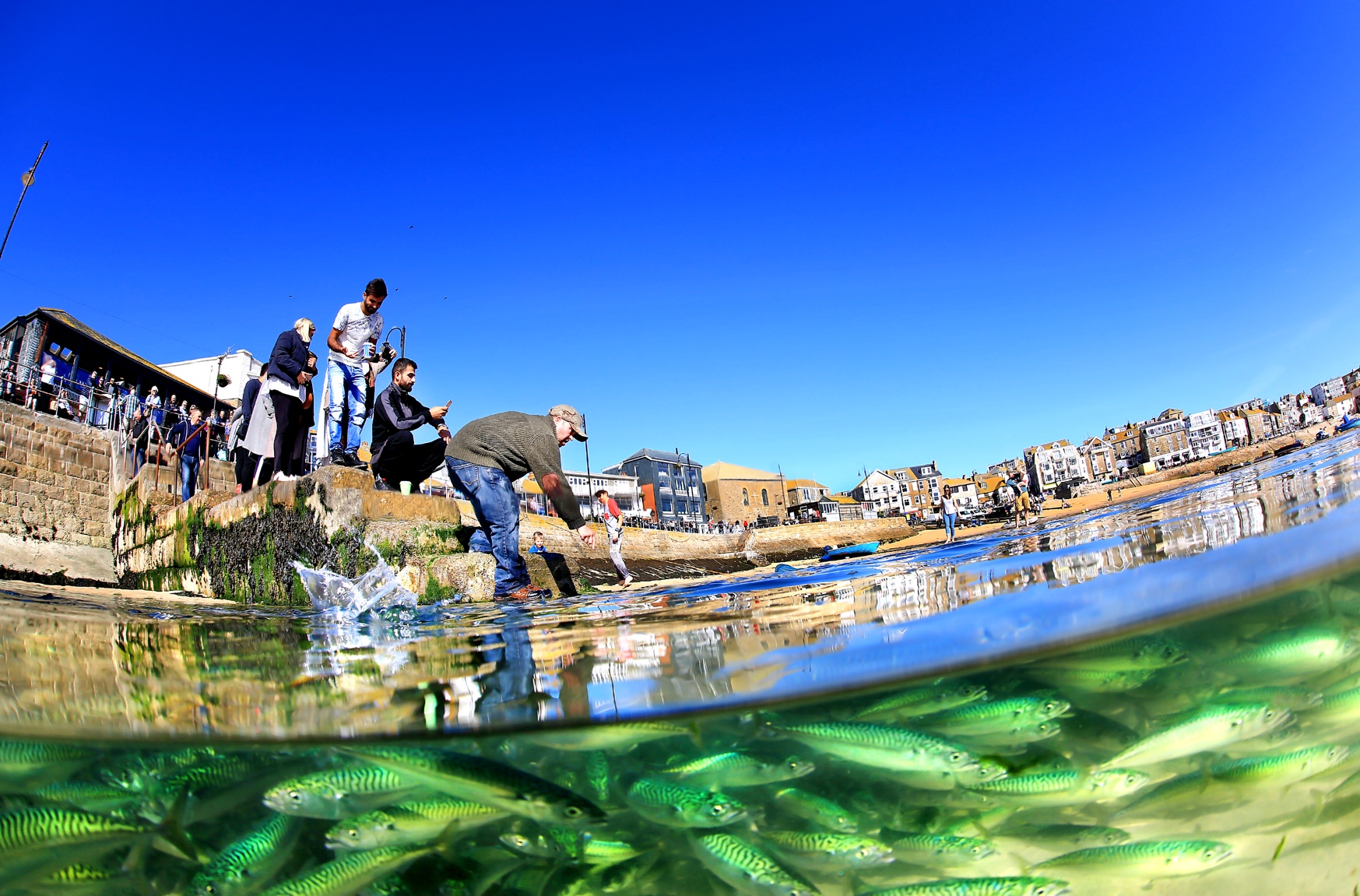
2006, CMACS, Rhyl Flats, Beam Trawl Survey
This project examines the beam trawl survey that took place across the proposed development area of Rhyl Flats offshore wind farm during September 2006 by CMACS Ltd. This survey was carried out to provide information concerning the benthic populations as part of the benthic baseline survey program. In total 954 fish from 23 fish taxa were recorded. The most common fish species recorded was dab, with a total of 229 individuals recorded. In comparison with the beam trawl results from 2005, fish species and epifaunal numbers are similar to those recorded at the same sites. It is considered that these two datasets from successive years (2005 and 2006) will provide significant information from which to monitor any possible impacts of the Rhyl Flats offshore wind farm construction and operation upon the benthic fish and epifaunal species populations of the area.
 Series
2006, CMACS, Rhyl Flats, Benthic Grab Survey
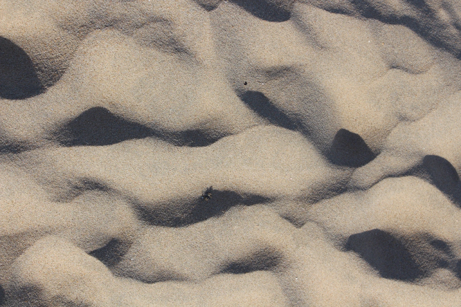
This project examines the benthic grab monitoring surveys carried out at Rhyl Flats in 2006 by CMACS Ltd. The grab surveys were carried out as part of the FEPA licence for Rhyl Flats. In conclusion the sediments recorded in 2006 were predominantly well sorted and medium to well sorted fine sands, with increasing coarser material at a few sites. Overall, it can be seen that the results from the 2006 survey display a similarity with those results obtained as part of the 2005 monitoring survey. It is considered that the two datasets provide a good baseline set of results from which to support the future assessment and further analysis regarding any potential impacts the construction of the Rhyl Flats offshore wind farm may have upon the benthic communities of the area.
 Series
2005-2015, Solar Wheel, Rhyl Flats, Meteorological Mast
Data and maintenance reports of the meteorological mast installed at Rhyl Flats. Period 2005 to 2015.
 Series
2005, CMACS, Rhyl Flats, Benthic Grab Survey
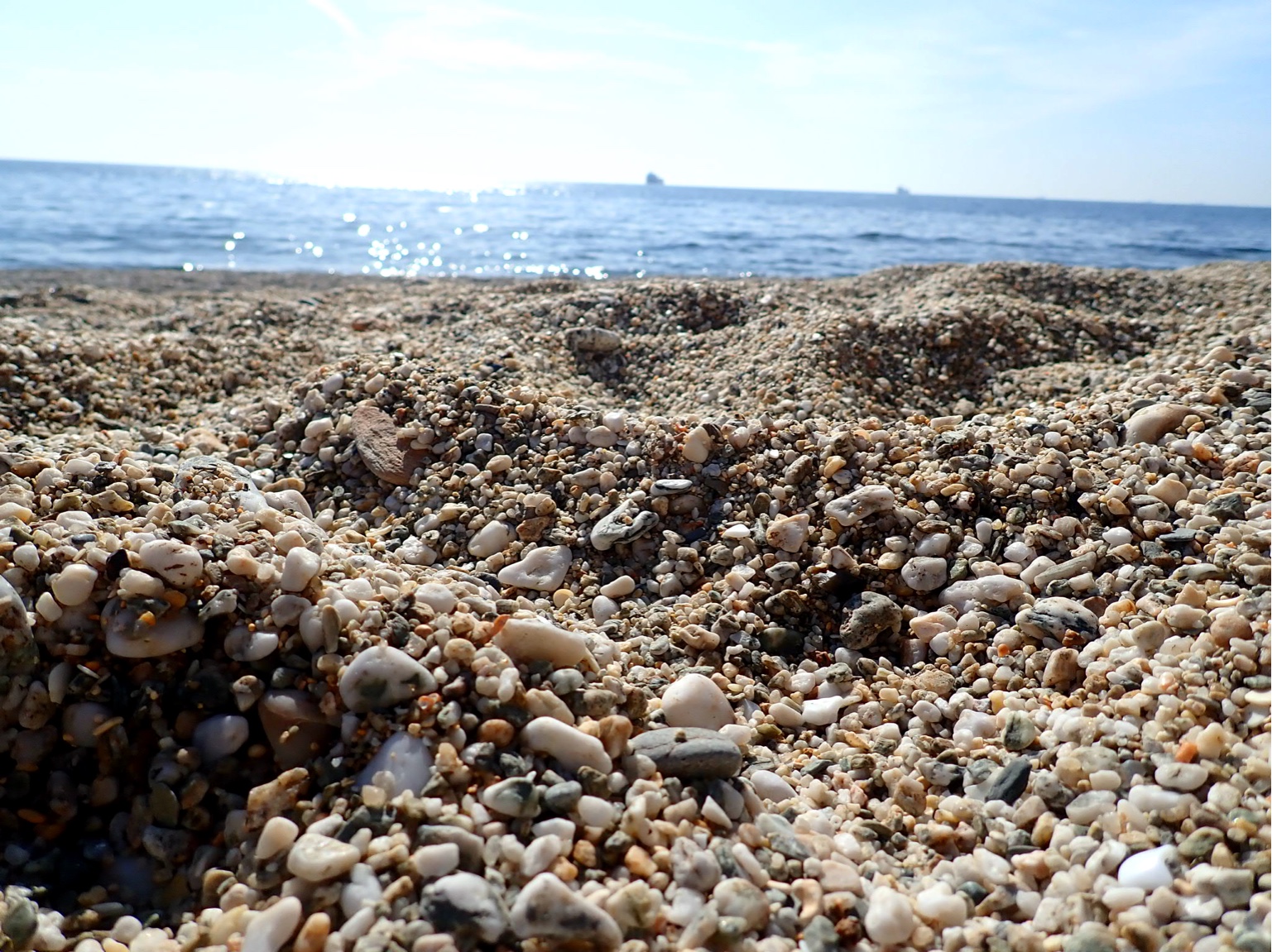
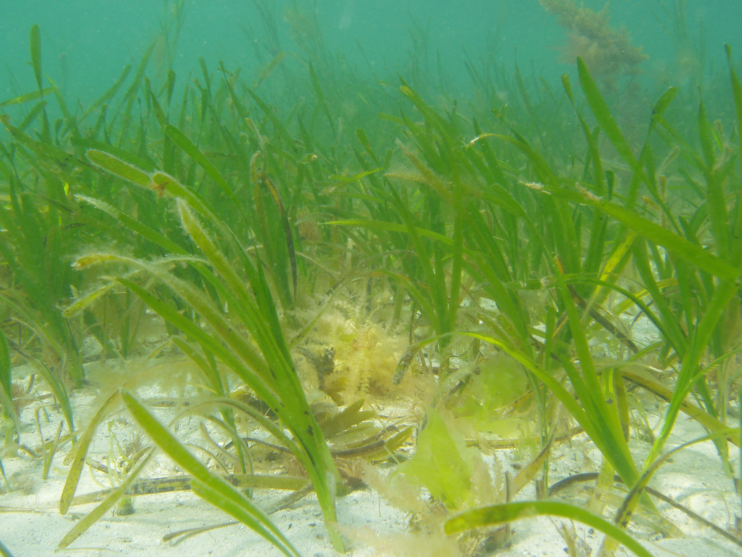
This project examines the pre-construction grab sampling survey that took place during October 2005 at the site of the Rhyl Flats offshore wind farm by CMACS Ltd. This was carried out to provide information concerning the infaunal benthic populations and the sub-tidal sediment types in and around the development area as part of the 2005 baseline program. These surveys will be repeated annually as part of the FEPA monitoring. In conclusion the samples showed inside and on the boundary of the Rhyl Flats development the sediment composition was relatively consistent. The majority of sub-tidal sediments collected were composed of sand of various grades. Most grab stations produced sediment consisting of coarse-medium sand, commonly associated with variable amounts of shell fragments. Some of the more conspicuous fauna were the mask crab at site 2, the sea potato at site 9 and the Lesser sand eel at site 3.
 Series
2005, CMACS, Rhyl Flats, Beam Trawl Survey
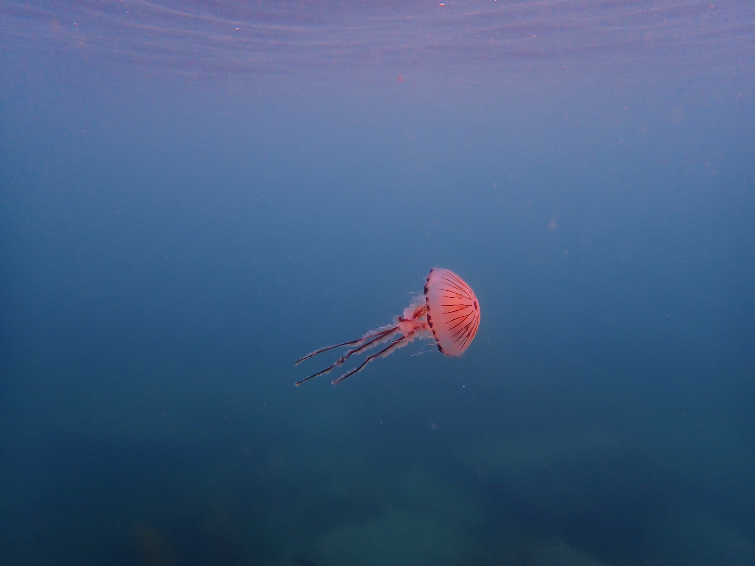
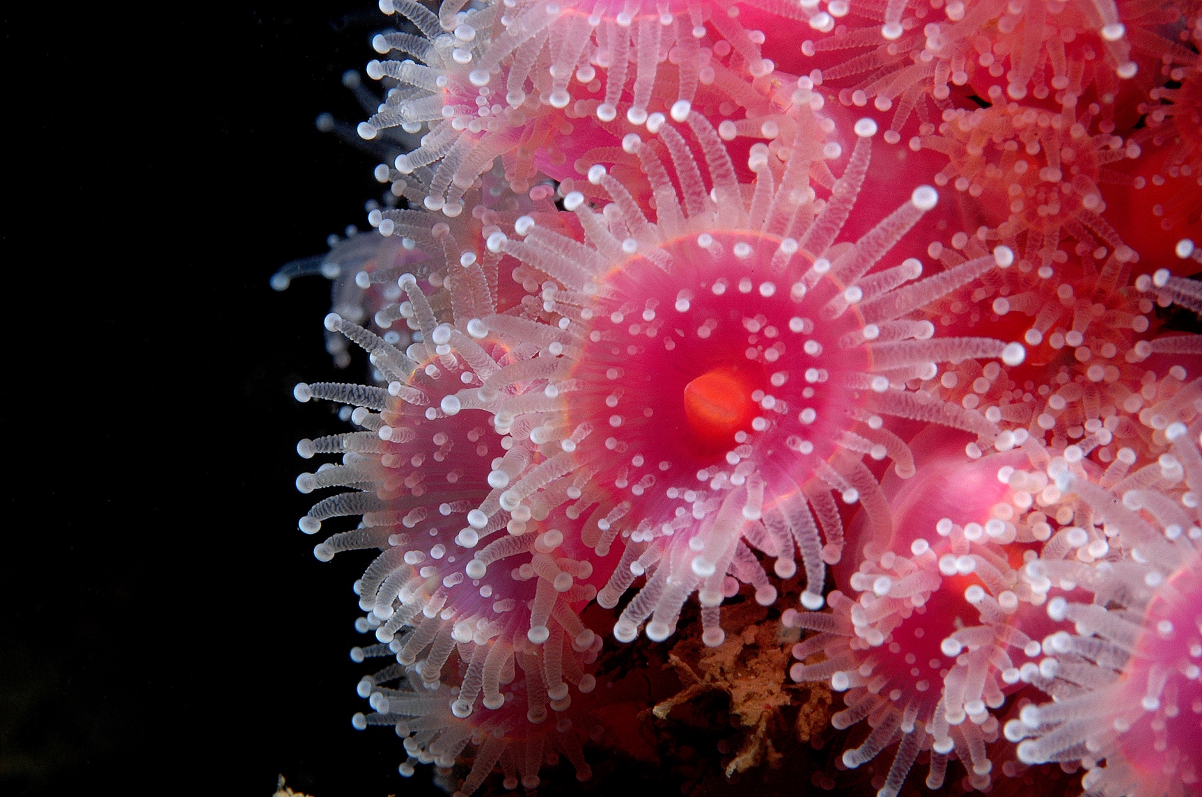
This project examines the bean trawl survey that took place during September 2005 by CMACS Ltd during the pre-construction phase of the Rhyl Flats offshore wind farm. The surveys were carried out to provide information concerning the benthic populations in and around the development area as part of the 2005 baseline program. These surveys will be repeated annually to comply with the conditions of the FEPA licence. The results of the trawl survey show that the most common fish species recorded was the Sand Goby with a total of 457 individual records. No rare or unusual invertebrates were recorded during the 2005 beam trawl survey. However, it should be noted that some of the invertebrate species recorded are considered to be of national importance in respect of their provision of habitat and food sources. This includes the common starfish, colonies of Dead-man's finger and the plumose anenome.
 Series
2005-2006, ESS, Rhyl Flats, Ornithology Monitoring
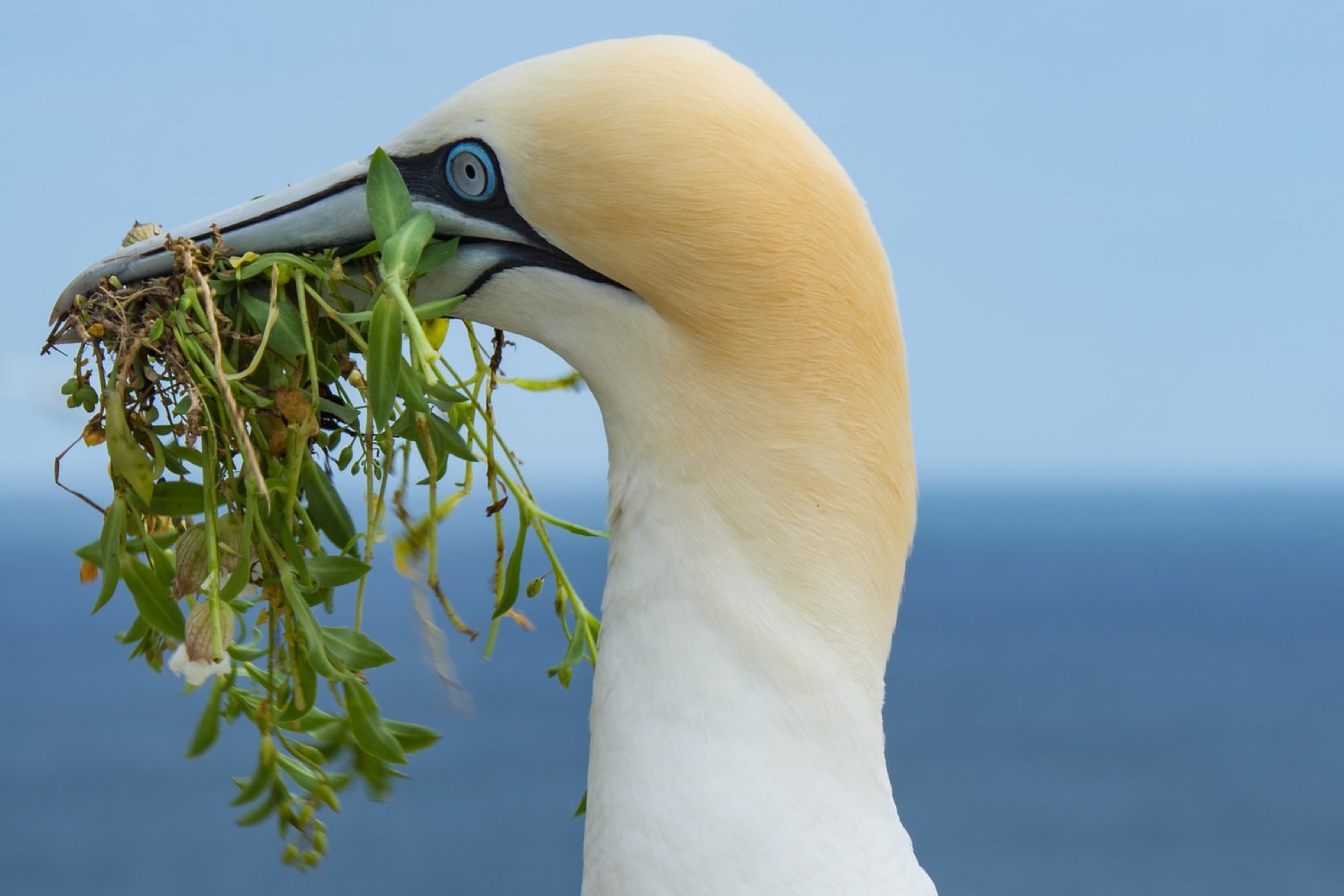
This project was conducted by Environmentally Sustainable Systems Ltd. (ESS) and concerns the statistical findings of the ornithological survey data collected between August 2005 and November 2006, including maps of data collected from August 2005 to March 2006. There are species of highest conservation concern around the Rhyl Flats wind farm for which an ecologically significant reduction would be of concern. The list contained eleven species (red-throated diver, fulmar, cormorant, shag, common scoter, kittiwake, common tern, sandwich tern, little tern, guillemot and razorbill), which are the qualifying interest for the nearby SSSIs and SPAs. Both aerial and boat based surveys were undertaken.
 Series
2005-2007, NPower Renewables, Rhyl Flats, Baseline Monitoring Survey
This project relates to the monitoring survey work conducted at the site of the Rhyl Flats Offshore Wind Farm. The monitoring program comprises a variety of topics such as sea bed morphology and scour, current modelling, benthic organisms, electromagnetic fields, marine fish, underwater noise and vibration and ornithology. Some of the outcomes of the monitoring shows localised erosion or deposition of the seabed, benthic communities of the area remain largely unchanged with similar faunal and sediment characteristics as those recorded from the previous years monitoring study, epi-benthos data collected has unchanged over a period of two years - this provides a good baseline to compare future surveys.
 Series
2002, NPower Renewables, Rhyl Flats, Environmental Impact Assessment
A full Environmental Impact Assessment was been undertaken of the wind farm's likely effects on the local and wider environment and aimed to assess the environmental, regulatory, visual, socio-economic, archaeological, and cumulative feasibility of developing a 150 MW offshore wind farm approximately 10 km northwest of Rhyl. Findings revealed that, with stringent mitigation measures, environmental, visual, and socio-economic impacts are minor, temporary, and manageable. Risks to local species, fishing, archaeological assets, amenity, and landscape are deemed limited and acceptable with appropriate controls, while local employment will benefit during construction and operation. The project supports UK renewable energy and international climate commitments, with recommendations for continued monitoring, stakeholder engagement, and adherence to robust environmental management plans to ensure minimal long-term impact and potential biodiversity enhancement.
 Series
2003-2008, Marine Consents Environment Unit (MCEU), Rhyl Flats Offshore Wind Farm, FEPA Licence
This document describes the baseline monitoring undertaken to comply with the conditions of the Food and Environmental Protection Act (FEPA) 1985: Licence 31640/02/0 - Rhyl Flats and Licence 31640/06/0.