

2008, Harrison Geotechnical Engineering, Sheringham Shoal, Substation Site Investigation
Summary
Data & downloads
Reports
Related Pages
 Series
2024, XOCEAN, Sheringham Shoal, Seabed Monitoring Survey
During January 2024 XOCEAN were tasked to perform a multibeam echosounder and Pseudo SSS survey over the IAC corridors, 88 x (350m x 350m) WTG boxes within the Sheringham Shoal Windfarm Array and two export cable routes. The aim of the survey was to investigate anything which might influence integrity strategies, including scour, debris, condition of WTG base and cable protection covers etc. Survey objectives: MBES Bathymetry and Pseudo Sidescan: Utilising a Multibeam Echosounder, survey the WTGs, OSSs & Export Cable to provide: ▪ 0.5m grid and 0.5m XYZ ▪ 1m grid and 1m XYZ ▪ 5 hits per 1m ▪ 100% coverage
 Series
2020, Fugro, Sheringham Shoal, Seabed Monitoring Survey
Equinor UK Ltd contracted Fugro GB Marine to undertake a Geophysical Survey of UK North Sea, located 23 KM off the North Norfolk coast. The survey comprised of the collection of multibeam bathymetry, multi beam backscatter data and side scan sonar data. The aims of the seabed survey 2020 were as follows; ◼ Acquisition of MBES, MBBS and SSS data around 88 wind turbine generators (WTG), 2 offshore substation (OSS) locations and export cable route (ECR) route; ◼ Identify sediment scouring, seabed contacts and features and cable free spanning across both survey sites; ◼ Compare survey results with 2018 survey findings and interpretations. The main findings arising from the geophysical survey data can be summarised as follows: ◼ Seabed depths on the main turbine array site (excluding monopiles and areas of rock dump) ranged from 14.54 m to 23.66 m below LAT; ◼ Seabed depths observed on the export cables ranged from 3.19 m to 24.40 m below LAT; ◼ A total of 24 exposures were identified; 15 located on the main site and 9 located on the export cable route; ◼ On the main site, the 15 exposures were located on the inter-array cable routes C2-D2, K8-J8, K7-J7, and adjacent to the WTG locations K8, J8, J7, I7, H6, G6, F6 and G5; four exposures showed evidence of freespan; ◼ One exposure was identified on the export cable route B in the southern end of the site; this was 9.6 m in length. Two further sets of exposures were observed in the export cable survey area, believed to relate to the Stratos Telecom cable and another possible unknown cable; ◼ In total 2056 SSS contacts were identified. Of those 801 were found on the main site and 1255 on the export cable route; ◼ Eight wrecks were identified on the wind farm site and the export cable route.
Series2018, Fugro, Sheringham Shoal, Seabed Monitoring Survey
Fugro was commissioned by Equinor (U.K) Ltd, hereafter referred to as the Client, to conduct a bathymetry and sidescan sonar (SSS) survey of the Sheringham Shoal Offshore Wind Farm and export cables. The survey was conducted as part of ongoing preventative maintenance. The survey objectives included the following: ■ Acquisition of multibeam echosounder (MBES) data around the 88 WTG and the two OSS locations for the monitoring of scour; ■ Acquisition of MBES and SSS data along the export cable and inter array cables for the detection of exposures and potential cable freespan; ■ Acquisition of SSS data over the main site and export cable for the detection of contacts. The survey was undertaken between 17 October 2018 to 23 November 2018 on board MV Mintis. The presence of fishing gear in the nearshore zone of the export cable route meant full sidescan sonar and bathymetry coverage could not be attained. Data acquisition in these areas was a safety issue and it was agreed following consultation with the Client that the gaps were acceptable given the circumstances.
 Series
2015, Brown and May Marine, Sheringham Shoal, Post-cable Installation Elasmobranch Survey
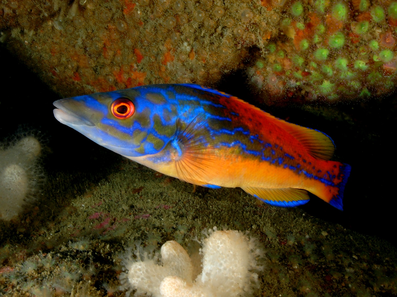
A longline survey was undertaken in the area relevant to the Sheringham Shoal Offshore Wind Farm export cable between the 16th and 21st of August 2015. The survey methodology replicated that of the August 2010 pre-installation survey, and the November 2012 and August 2013 post-installation survey. The objective of the survey was to assess whether the operational export cable has any discernible effects on the localized population of elasmobranchs, and the feeding behaviour of lesser spotted dogfish (Scyliorhinus canicula). Lesser spotted dogfish (S. canicula) is widespread and abundant along the southern and western seaboards of the British Isles at depths of 6–308 m, although its distribution in the North Sea is patchy (Ellis et al, 2005). Overall, it is a species with limited migration ranges, although variations in distribution between autumn and spring surveys suggest local movements in some areas such as the Irish Sea (Agri-Food; Biosciences Institute, 2009). The survey was conducted using the same vessel, gear and bait as the pre-installation survey. Three replicates of 16 sample stations were undertaken, where practicable, along the Scira export cable route. In the event, only 43 of the 48 sample longline deployments were able to be undertaken, due to the presence of deployed static gear at two stations. Thirty seven elasmobranchs were caught during the survey, of which fifteen were S.canicula. The highest number were caught at Station L10. S.canicula stomach contents were predominantly Crustacea and known benthic prey species such as a range of crab species including Paguridae spp and Pagurus bernhardus.
 Series
2015, Brown and May, Sheringham Shoal, Elasmobranch Survey
A longline survey was undertaken in the area relevant to the Sheringham Shoal Offshore Wind Farm export cable between the 16th and 21st of August 2015. The objective of the survey was to assess whether the operational export cable has any discernible effects on the localized population of elasmobranchs, and the feeding behaviour of lesser spotted dogfish (Scyliorhinus canicula). Thirty seven elasmobranchs were caught during the survey, of which fifteen were S.canicula. The highest number were caught at Station L10.
 Series
2014-2016, ECON Ecological, Sheringham Shoal, Seabird Surveys
Boat-based transect surveys of the Sheringham Shoal offshore wind farm site to inform assessment of the ornithological status of the site during construction. Survey methodology is based on that recommended by JNCC, ESAS and COWRIE (Komdeur et al. 1992).
 Series
2014-2015, Fugro EMU, Sheringham Shoal, Bathymetry and Sidescan Sonar Survey
Fugro EMU Limited (Fugro EMU) was commissioned by Scira Offshore Energy Limited to conduct a bathymetry and sidescan sonar (SSS) survey of the Sheringham Shoal Offshore Wind Farm and export cables. The survey was required to fulfil Marine Management Organisation (MMO) requirements for post-construction monitoring.
Series2014, Fugro EMU, Sheringham Shoal, Bathymetric Survey
Fugro EMU Limited (Fugro EMU) was commissioned by Scira Offshore Energy Limited to conduct a bathymetry survey of the Sheringham Shoal Offshore Wind Farm and export cables. The survey was required to fulfil Marine Management Organisation (MMO) requirements for post-construction monitoring. In order to meet these requirements, the scope of work required that Fugro EMU provide the following deliverables and reports: Accurate bathymetry coverage of the inter-array and export cables Reporting on any changes in conditions since the 2013 Marine Survey The survey was undertaken between 30th April and 4th May 2014 on board Fugro Seeker, all survey objectives and contractual requirements were achieved.
 Series
2014, Marine Ecological Surveys Limited (MESL), Sheringham Shoal, Year 2 Benthic Monitoring Survey
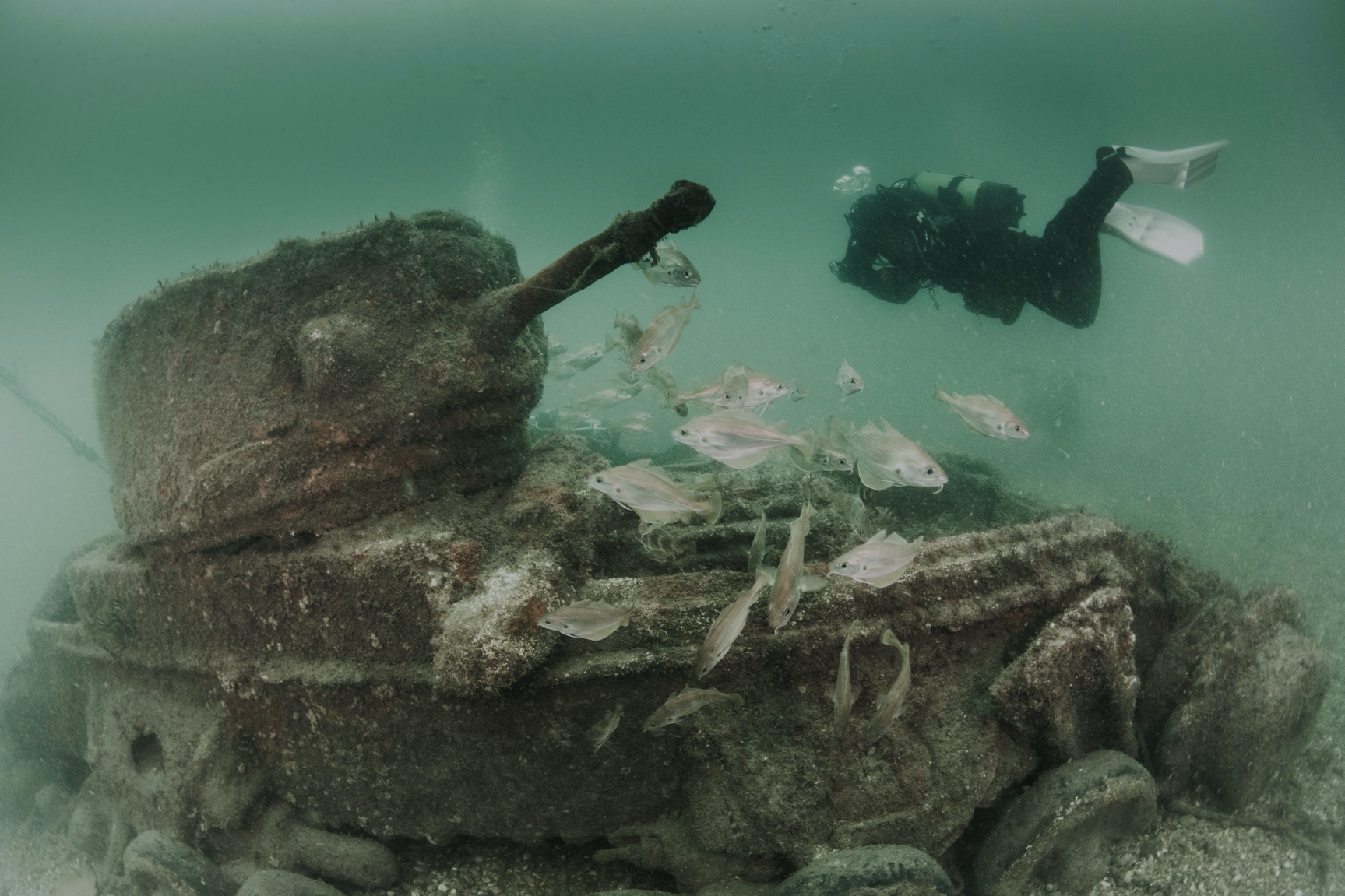
The second post-construction survey of benthic resources was undertaken at the Sheringham Shoal Offshore Wind Farm (OWF) by Marine Ecological Surveys Limited (MESL) during sampling events in April and May 2014. The principle objectives of this second Sheringham Shoal post-construction benthic monitoring survey were to describe the seabed sediments and associated benthic biological communities that occur in and around the OWF area. In order to determine the extent of any development impacts on the area, statistical comparisons were carried out on the data acquired in the pre- (2009) and post-construction (2012, 2014) surveys. The survey followed the specification set out in the Sheringham Shoal OWF Terms of Reference which were agreed with industry regulators prior to commencement of the survey. A total of 52 sediment samples for Particle Size Distribution Analysis (PSD), 55 benthic grab samples for faunal analysis, 487 seabed images and five epibenthic trawls were acquired during the course of the investigation.
 Series
2013-2014, Wessex Archaeology, Sheringham Shoal, Archaeological Assessment
Wessex Archaeology was commissioned by Fugro EMU Limited to carry out an archaeological assessment of post-construction geophysical data acquired over the Sheringham Shoal Offshore Wind Farm and export cable route. Wessex Archaeology was only required to process and interpret sidescan sonar and multibeam bathymetry data covering 182 anomalies listed in the 2009 Written Scheme of Investigation (WA 2009). In addition, a small quantity of multibeam backscatter data was assessed in lieu of sidescan sonar data at the inshore end of the export cable route. The geophysical datasets were assessed over 100m radius target review areas centred on each of the target anomalies from 2009. Features observed within the target review areas were compared to the original geophysical assessment. New features observed within the target review areas were also recorded.
Series2013, Brown and May Marine, Sheringham Shoal, Post-cable Installation Elasmobranch Survey
A longline survey was undertaken in the area relevant to the Sheringham Shoal Offshore Wind Farm export cable between the 27th and 29th of August 2013. The survey methodology replicated that of the August 2010 pre-installation survey, and the November 2012 post-installation survey, and was carried out to minimise the potential for seasonality affecting the post-installation results. The objective of the survey was to assess whether the operational export cable has any discernible effects on the localized population of elasmobranchs, and the feeding behaviour of lesser spotted dogfish (Scyliorhinus canicula). The survey was conducted using the same vessel, gear and bait, and at the same time of year as the pre-installation survey, however in this instance a single starry smoothhound (Mustelus asterias) was the only elasmobranch caught. One dab (Limanda limanda) was also caught. Both individuals were sized and recorded.
 Series
2013, National Physical Laboratory, Sheringham Shoal, Measurement of Underwater Noise
In response to FEPA Licence (33369/10/3, Supplementary Condition 9.36) for the Sheringham Shoal Offshore Wind Farm (OWF), underwater noise measurements were undertaken to assess underwater noise from the operational wind farm at ‘various frequencies across the sound spectrum, at a selection of locations immediately adjacent to and between turbines and within and outside the array at varying distances’. The underwater acoustic measurements performed at the operational Sheringham Shoal OWF, show that the radiated underwater sound from the particular wind turbines employed (Siemens SWT-3.6-107) is predominantly made up of tonal frequency components below around 500 Hz, resulting from the rotating nature of the turbine and its sub-components. Measurements were obtained in close proximity to individual wind turbines (~40 to 50m) for their full range of operating conditions, with snap-shot measurements at various positions between wind turbines and at a number of ranges away from the wind farm (ranging from about 50 m to 31 km), at all four compass points. The noise radiated from the operational wind turbines was typically comparable to or below the background noise level, and it was only certain frequency components that could be attributed to the operational wind turbines. The measured levels at the Sheringham Shoal OWF are comparable to those reported previously in the literature, where the same literature suggests that the underwater noise resulting from operational wind turbines would not be expected to result in injury to marine mammals and fish. The resultant noise levels in proximity to the turbines are also substantially lower than those expected to result in the onset of a permanent threshold shift in hearing response (PTS), or even a temporary threshold shift in hearing response (TTS), in marine mammals (Southall et al., 2007). It is also unlikely that these noise levels would result in a behavioural response, except perhaps in very close proximity to the turbines and only for species which might be sensitive to the tonal frequencies radiated.