
2008 - 2009, CMACS, Burbo Bank, Year 2 Environmental Monitoring Report
Summary
Data & downloads
Reports
Data Highlights
Related Pages
 Series
2019, EGS, Burbo Bank, Bathymetric Survey
Ørsted Power contracted EGS international Ltd (EGSi) to undertake a bathymetric survey at Burbo Bank Wind Farm (BBW01) – all assets – in the Irish Sea. Data was acquired in September 2019. Operations were undertaken using a hull mounted dual head Kongsberg 2040C. The survey is designed to provide information needed primarily for the following: - Scour monitoring - Evaluate integrity of assets (WTG’s, cables and IAC’s) - To provide data from which any change to bedform morphology can be identified when compared to previous surveys (2006, 2012 and 2016) The surveys were conducted onboard the EGS owned coastal survey vessel ‘The Watchful’, which operated on a 12hr basis from Liverpool marina. Vessel mobilisation, calibrations and verifications began between 22nd and 23rd August 2019 whilst the vessel was in Liverpool and were then completed offshore 24th August. All survey operations were completed by 16th September 2019.
 Series
2016, Bibby HydroMap, Burbo Bank, Asset Integrity Management Survey
Bibby HydroMap were commissioned in July 2016 by DONG Energy to carry out a survey after a rock dumping campaign at West of Duddon Sands Windfarm (WDS01), and an Asset Integration Management (AIM) survey at Burbo Bank Windfarm (BBW01). The surveys was carried out between 30th July 2016 and 31st August 2016. A bathymetric AIM survey on all WTG positions, array cables and both SSS and MBES on the export cables, along with two further cross lines.
Series2012, EGS, Burbo Bank, Bathymetric Survey
DONG Energy contracted EGS (International) Ltd to undertake a bathymetric survey in the post-construction (operational) phase of the project using both Multibeam Echo Sounder (MBES) and Side Scan Sonar (SSS) survey techniques. The primary objective of the survey was to assess the stability of the scour protection around the turbine foundations. To meet the requirements of the survey, survey lines were run at a distance of 25 metres either side of a centreline which connected the turbine locations.
 Series
2010, ABPmer and CMACS, Burbo Bank, Monopile wake and Model Calibration Metocean Survey
This series presents the results of recent metocean survey work undertaken at the Burbo Bank Offshore Wind Farm, designed to address two outstanding licensing conditions: 1. Tidal Model Validation: There were concerns regarding the original tidal current data collected at the site and used to inform and validate the tidal model used in the original EIA study. To revalidate the model, new tidal current profile survey data were collected and compared to the model output. The results confirm that the original tidal model performs well in predicting tidal current speed and direction at the site. 2. Tidal Wake Validation: The original EIA study included the conservative prediction of tidal wake effects from an array of 30 turbines on 4m monopiles and the subsequent effect on regional sediment transport rates and pathways. To validate the accuracy of the tidal wake predictions by the model, a field survey was designed and undertaken to measure and map the gross flow properties of the tidal wake associated with the BB27 foundation (a 4.7m diameter monopile with rip-rap scour protection). The results of the wake survey compared closely to the modelled wake in terms of time mean flow properties but also differed somewhat in terms of the lateral extent of the wake in the very near-field (<200m downstream, a limitation of the model associated with mesh resolution) and the presence/absence of locally elevated turbulence (also a limitation of all such regional scale modelling tools). The implications of elevated levels of turbulence being observed in the field but not being present in the model are discussed in relation to the predicted patterns of sediment transport, suggesting that, on balance, the model correctly estimates the effect on sediment transport.
 Series
2010, Offshore Marine Management, Burbo Bank, Export and Inter Array Cables Inspection Survey
DONG Energy awarded Offshore Marine Management (OMM) a contract to perform an inspection survey of the offshore export connecting the Burbo Offshore Wind Farm located to the shore in Liverpool Bay. This included the BB13 to BB14 inter array power cable. Burbo Offshore Windfarm is located approximately 8 Kilometres offshore and the shore landing is located approximately 1 Kilometre northwest of Wallasey, near Liverpool. The total length of the export and inert array power cables is approximately 26 Kilometres. The report in this series describes the survey operations conducted upon the export and inter array power cables. The objectives of the operations were: > Mobilisation of work vessel with all the required navigation, positioning and survey equipment. > Cable Survey/Inspection – Entire 3 x Export Cable lengths, A2, B2 and C1 to shore (approx. 8.5 Km each). Inspection Survey of the export cables with shallow water survey system 'ROC.si' (Crawler) operated off the support vessel (Multicat), MCS Ailsa > Cable Survey/Inspection – BB13 to BB14 Inter-Array Cable (approx. 560m) > Inspection Survey of the inter array cable with shallow water survey system 'ROC.si' (Crawler) operated off the support vessel (Multicat), MCS Ailsa. A 24-hour working day was adopted for all survey operations.
 Series
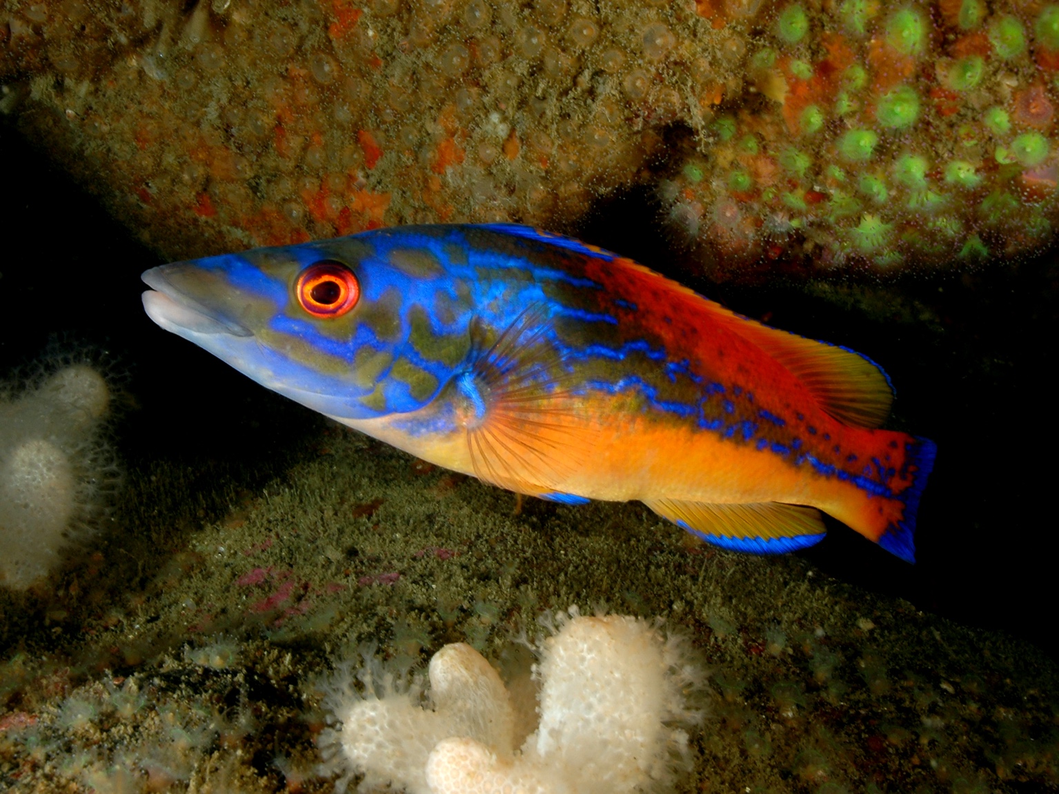
2010, CMACS, Burbo Bank, Year 3 Commercial Fish Survey
This series presents results of the 2010 4m beam trawl (‘commercial fish survey’) at Burbo Bank Offshore Wind Farm. The survey contributes to a programme of environmental monitoring at the site designed in response to conditions of the Food and Environment Protection Act (FEPA) Licence issued to the developer. The 2010 survey provides the fourth set of annual 4m beam trawl survey data designed to sample demersal fish present in and around the wind farm and at reference sites. This was the second survey during the operational phase of the wind farm and results have been compared with pre-construction (baseline), during-construction and first post-construction surveys in preceding years. The 4m trawl surveys have detected no major impact from wind farm operation on the distribution of fish locally. This conclusion is based on high levels of similarity between catches pre, during and postconstruction across sites and is consistent with the project Environmental Impact Assessment which did not anticipate major effects. In general, catch rates were considerably lower in 2010 than in preceding survey years, but these reductions occurred throughout the survey area, and not solely within and around the wind farm array.
 Series
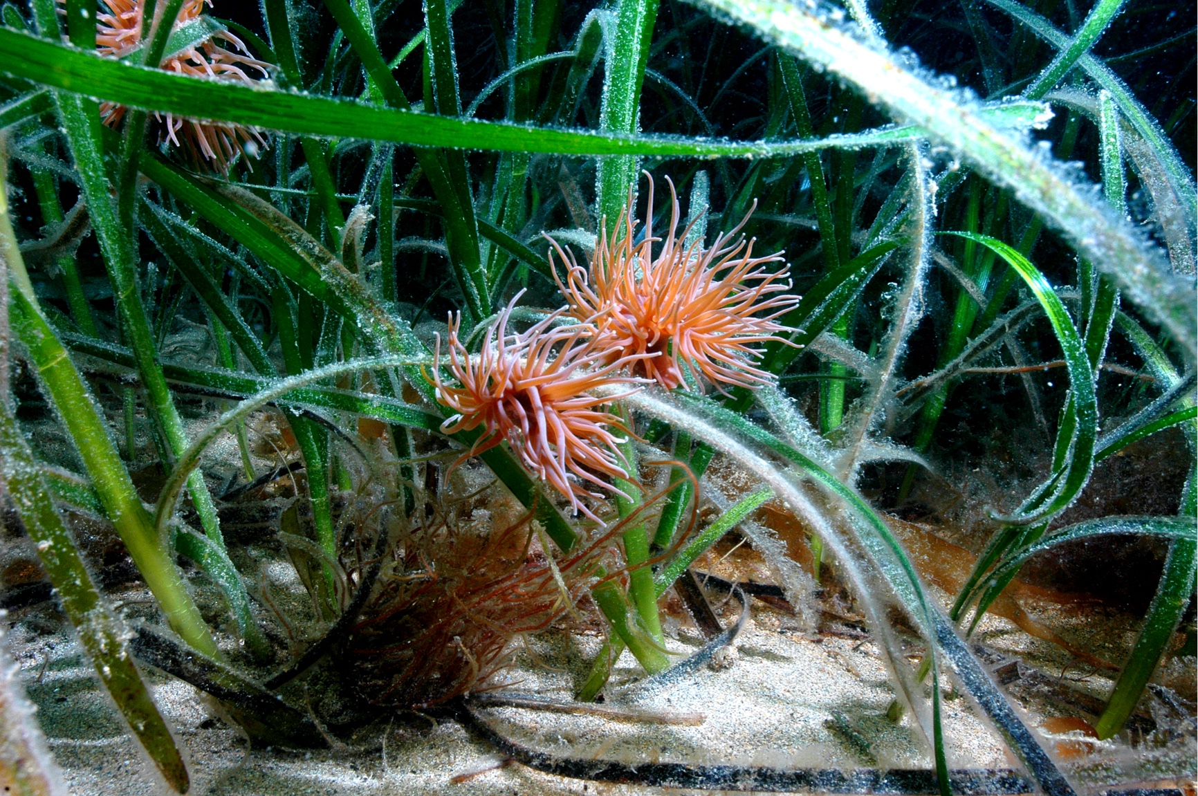
2009, CMACS, Burbo Bank, Year 3 Beam Trawl Survey
The benthic survey programme, developed by CMACS and approved by the Licence Authority, comprises grab survey (to sample infauna and sediment, reported separately) and 2m beam trawl to sample epifaunal invertebrates and small demersal fish, which is reported here. The programme commenced with baseline (pre-construction) surveys in autumn 2005. The report in this series presents the results of monitoring carried out in autumn 2009, more than two years after completion of major construction activities, and considers results of all four surveys (baseline, during construction and two post-construction) in relation to the potential effects of wind farm construction and operation on benthic environmental receptors.
 Series
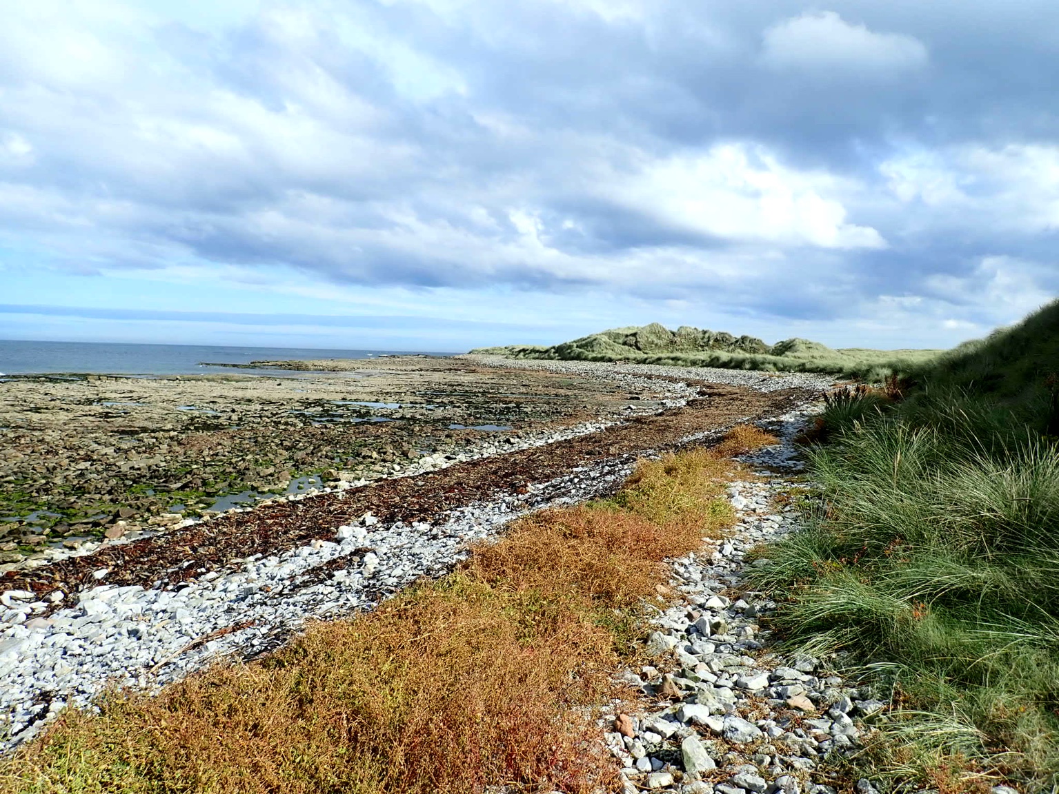
2009, CMACS, Burbo Bank, Benthic Grab Survey Year 3
Burbo Offshore Wind Farm is a twenty-five turbine, 90MW development located in Liverpool Bay approximately 6km from the coastlines of Wirral, Crosby and Liverpool. The benthic (seabed) monitoring programme consists of surveys by grab sampling and beam trawling (the latter providing information on demersal fish as well as epibenthic invertebrates and being reported separately). The benthic survey programme has been undertaken by Centre for Marine and Coastal Studies Ltd (CMACS) on behalf of SeaScape. The programme commenced with baseline (pre-construction) surveys in autumn 2005. The report in this series presents the results of the benthic grabs carried out in autumn 2009, more than two years after completion of major construction activities, and considers results of all four surveys (baseline, during construction and two post-construction) in relation to the potential effects of wind farm construction and operation on benthic environmental receptors.
 Series
2009, CMACS, Burbo Bank, Diver Survey of Wind Turbine Foundations
On behalf of SeasScape Energy, Osiris Marine Services Ltd were commissioned to conduct maintenance inspection dives of Burbo Bank wind farm (including cathodic protection, scour protection, J-tube integrity and marine growth). Following requests by CEFAS and Natural England (statutory consultees), the opportunity was taken to obtain information useful for the environmental monitoring programme in conjunction with maintenance inspections. Therefore, Centre for Marine and Coastal Studies Ltd (CMACS) were instructed to oversee qualitative biological dive surveys, particularly to provide information on the nature of seabed habitats and species colonising monopile foundations, scour protection and rock armour. These surveys were required to comply with a Food and Environment Protection Act (FEPA) licence (Ref 31864/07/0) issued to the developer (SeaScape Energy).
 Series
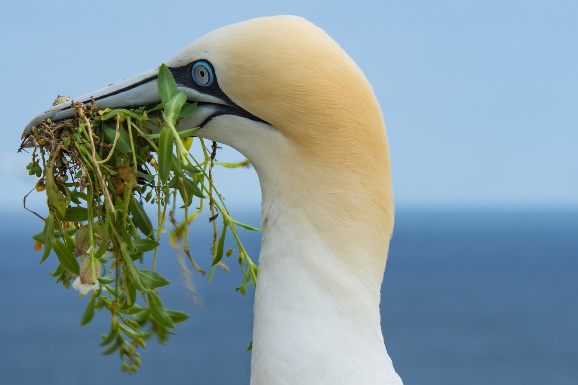
2008-2009, CMACS, Burbo Bank, Year 2 Ornithological Monitoring
This series presents results of surveys undertaken to monitor the effects of construction and operation of Burbo Bank Offshore Wind Farm on bird use of the local area. The results of monitoring during the second year of wind farm operation (September 2008 to April 2009) are presented here. Surveys were undertaken from a vessel which followed seven established set transects through the wind farm, buffer (edge of the wind farm) and reference areas. Two experienced ornithologists noted all bird species seen and also made observations on any marine mammals encountered. Analysis efforts are focused on four target species: common scoter, red-throated diver, cormorant and common tern. These species are important to local conservation sites such as the proposed Liverpool Bay SPA, Dee Estuary SPA and the Mersey Narrows and North Wirral Foreshore SSSI/candidate SPA. Previous reports have presented results of baseline and during construction ornithological surveys (2005/06 and 2006/07 respectively). This is the second set of post construction surveys. Five surveys were completed in 2008/2009, reflecting an agreement with statutory consultees to focus effort in months of interest (September to April). Subject to no significant adverse effects being identified there is an agreement to conclude the ornithological monitoring programme at this stage. Low numbers of birds were recorded in the survey, which continues to demonstrate that the area is not intensively used by seabirds. However, this year’s survey did provide the first evidence of birds (auks) present within the wind farm array area, assumed to be foraging. This was reflected as a shift in distribution rather than a marked change in abundance. There is no evidence from the surveys that continued operation of the wind farm has had any detectable adverse impact on local seabird use of the area.
Series2008, Osiris Projects, Burbo Bank, Hydrographic and Geophysical Survey
Osiris Projects were commissioned by DONG Energy to carry out a detailed hydrographic and geophysical survey at the Burbo Bank offshore wind farm development, together with an associated cable route and two separate transit routes. Data acquisition was undertaken by Osiris Projects using Ocean Marines custom-built shallow-drafted vessel, MV 'Barinthus'. The vessel was equipped with single beam echo sounder, side scan sonar, and marine magnetometer systems. Vessel positioning during the survey was provided by the use of CSI Vector Sensor DGPS. The vessel was mobilised at Conwy, N Wales, and was subsequently based in Canada Dock, Liverpool for the duration of survey operations. This gave a transit time to site of approximately 20 minutes. Due to the large number of charts produced, the report is split into two volumes. Volume 1 contains an interpretation of the individual data sets, including the charts from the development area and its associated cable route, together with details of the operational parameters, locations, times and techniques utilised during the surveys. Volume 2 contains the alignment charts for the two transit routes only.
Series2008, CMACS, Burbo Bank, Year 1 Commercial Fish Survey
The report in this series presents results of the 2008 4m beam trawl (‘commercial fish survey’) at Burbo Bank Offshore Wind Farm. The survey contributes to a programme of environmental monitoring at the site designed in response to conditions of the Food and Environment Protection Act (FEPA) Licence issued to the developer. The 2008 survey provides the third set of annual 4m beam trawl survey data designed to sample demersal fish present in and around the wind farm and at reference sites. This was the first survey during the operational phase of the wind farm and results have been compared with pre-construction (baseline) and during-construction surveys in preceding years. The 4m trawl surveys have detected no major impact of wind farm construction and initial period of operation on the distribution of fish locally. This is concluded based on high levels of similarity between catches pre, during and post-construction across sites and is consistent with the project Environmental Impact Assessment which did not anticipate major effects.