
2014, EGS, Barrow, Geophysical Survey
Summary
Data & downloads
Datasets
Related Pages
 Series
2016, Deep BV, Barrow, Export Cable Geophysical Depth of Burial Survey
As part of a transfer of assets between Dong Energy Power UK Ltd (DONG) and TC Barrow OFTO Ltd, a detailed survey of the Barrow wind farm export cable is required. DONG awarded Deep BV, the Netherlands the contract to undertake the marine cable inspection survey for three export cables (Barrow, Walney I and Walney II offshore wind farm export cables). The export cable routes are located in the East Irish Sea with landfalls on the west coast of England. This report describes the geophysical and depth of burial survey conducted along the export cable trajectory of the Barrow Offshore Wind farm export cable. This series contains reports and data for the Barrow export cable only.
 Series
2015, Fugro, Barrow, Bathymetric Surveys
Fugro EMU Limited (Fugro EMU) was commissioned by Dong Energy (the Client) to undertake an asset inspection survey of Barrow Offshore Windfarm (BOW01) array and inter-array cables. The survey area was situated in Morecambe Bay, approximately 25 km west of Heysham. The survey utilised two Fugro owned vessels, Fugro Seeker and Valkyrie and was undertaken between 31 August 2015 and 27 October 2015.
Series2012, EGS, Barrow, Geophysical Survey
In May 2012 EGS (International) Ltd was contracted to undertake a bathymetric survey in the post-construction (operational) phase of the project to determine whether there are any changes to seabed morphology at the wind farm site including inter array cables. The survey covered all turbine foundations using a corridor 370 metre wide along the array cables connecting the turbines. To meet this objective EGS conducted a multibeam high frequency bathymetric survey combined with seabed mapping and sub-surface hazard identification using side-scan sonar (SSS) in conjunction with a USBL system, across each of the constructed WTG and substation location over the Barrow Offshore Windfarm. Survey operations over the site were completed with the EGS Pioneer on a 24 hour operational basis between 17th and 18th May 2012.
 Series
2011, CT Offshore, Barrow, Export Cable Geophysical Survey
On the instructions of Barrow Offshore Wind Limited, CT Offshore were commissioned to undertake a survey covering the Barrow Offshore Wind Farm export cable route. Data acquisition took place using the survey vessel 'MV Line' during the period 21st June to 12th July 2011. An ROV undertook the actual survey using a TSS440 cable tracking system. TSS440 utilises pulse induction technology and advanced digital signal processing to accurately determine ranges to buried pipelines or cables.
Series2009, Osiris Projects, Barrow Offshore Wind Farm, Post-Construction Cable Route Inspection and Scour Monitoring Survey
On the instructions of Barrow Offshore Wind Limited, Osiris Projects were commissioned to undertake an inspection survey covering the Barrow Offshore Wind Farm export cable route, in conjunction with scour monitoring surveys at all of the individual turbine locations within the main development area. Data acquisition took place using the survey vessel MV ‘So Fyne’, during the period 31st March to 3rd April 2009. High-resolution side scan sonar, swath multi-beam and single beam bathymetry data were acquired along a number of parallel survey lines, which were generally run at 25m centres, in order to accurately map the seabed along the cable route.
 Series
2008, EMU, Barrow Offshore Wind Farm, Monopile Ecological Survey
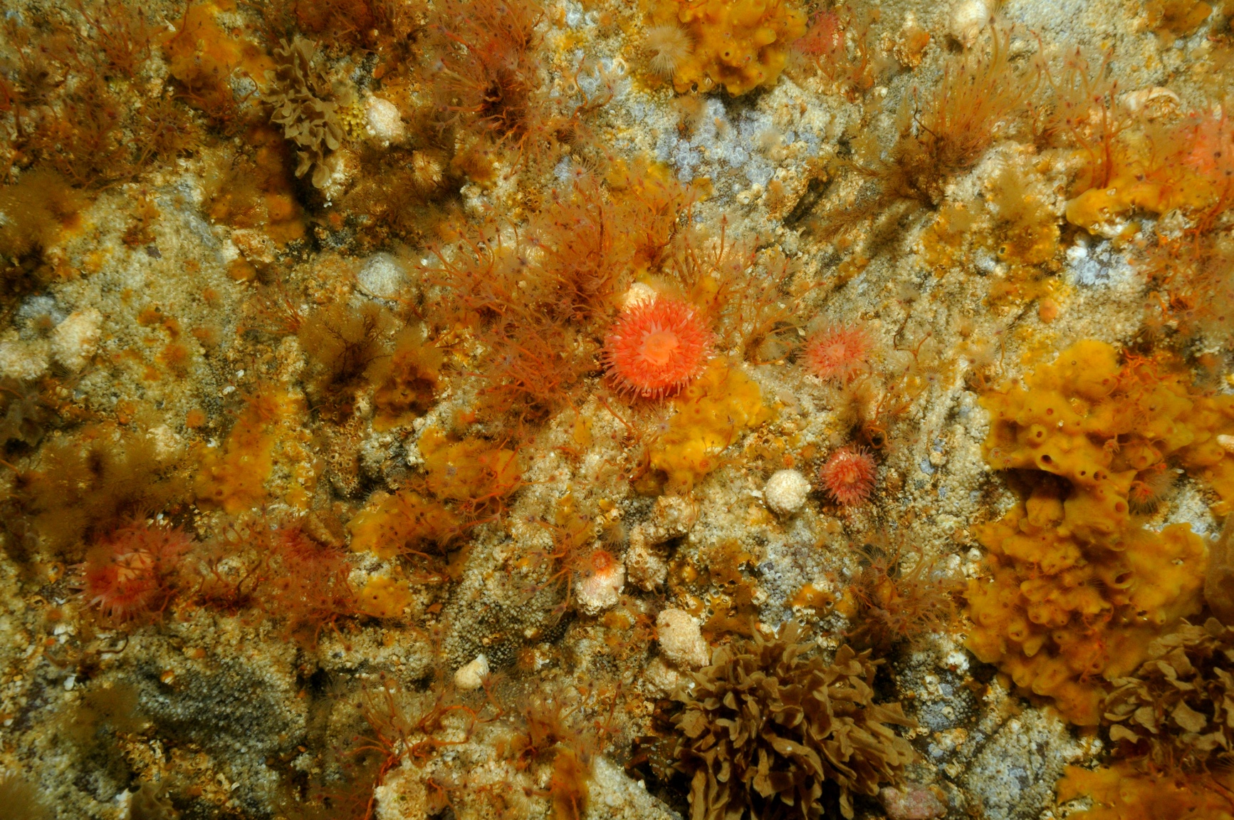
Emu Limited were commissioned by Barrow Offshore Wind Limited to undertake a marine ecological survey of four monopiles and the surrounding seabed within the Barrow offshore wind farm. The aims of the present study were to investigate the colonisation of the monopiles, using diver collected video footage and collection of scrape samples, and to compare the results with those of the initial survey, which was completed approximately eight months after installation of the monopiles. The current survey was undertaken two and half years after the initial survey. In addition to the study on the monopiles, seabed sediment samples were required to supplement the post construction grab sampling survey undertaken in March 2007. The diving surveys were undertaken between 23rd September and 26th September 2008 inclusive. A total of four turbines were surveyed (turbines B2, C6, D1 and D5) during the current diving survey.
Series2008, Osiris Projects, Barrow Offshore Wind Farm, Post-Construction Cable Route Inspection and Scour Monitoring Survey
On the instructions of Barrow Offshore Wind Limited, Osiris Projects were commissioned to undertake an inspection survey covering the Barrow Offshore Wind Farm export cable route, in conjunction with scour monitoring surveys at a series of selected turbine locations within the main development area. Data acquisition took place using the survey vessel MV ‘Barinthus’, during the period 10th to 15th May 2008 and on the MV 'So Fyne', during the period 15th to 30th November. High-resolution side scan sonar, swath multi-beam and single beam bathymetry data were acquired along a number of parallel survey lines, which were generally run at 25m centres, in order to accurately map the seabed along the cable route.
Series2007, Osiris Projects, Barrow Offshore Wind Farm, Cable Route Inspection and Scour Monitoring Survey
On the instructions of Barrow Offshore Wind Limited, Osiris Projects were commissioned to undertake an inspection survey covering the proposed Barrow Offshore Wind Farm cable route, in conjunction with scour monitoring surveys at a dataset of selected turbine locations within the main development area. Data acquisition took place using the survey vessel MV ‘Barinthus’, during the period 21st to 23rd November 2007. High-resolution side scan sonar, swath multi-beam and single beam bathymetry data were acquired along three parallel survey lines, which were run at 25m centres, in order to accurately map the seabed along the cable route. For the scour monitoring survey within the development area, survey lines were run at 25m offsets from the turbine positions, in order to provide detailed information around the turbine/seabed interface. The primary objective of each of the surveys was to map bathymetry and seabed features, including any cable exposures, along the cable route. Additional survey lines, run across the faces of the selected turbines, were carried out to provide detailed scour assessments.
Series2007, Osiris Projects, Barrow Offshore Wind Farm, Post-construction Geophysical Survey and Scour Monitoring Survey
On the instructions of Barrow Offshore Wind Ltd, Osiris Projects were commissioned to carry out a Scour Monitoring Survey covering a series of selected turbines within the existing Barrow Offshore Wind Farm development. This was done in conjunction with the completion of an earlier hydrographic and geophysical survey across the whole of the development area, which had to be postponed due to severe weather during the original survey period (September to November 2006). High-resolution side scan sonar, swath multi-beam and single beam bathymetry data were acquired along all survey lines, which were run at 100m centres, in order to accurately map the entire seabed within the wind farm development area. Additional lines were run at 25m offsets from the turbine positions, in order to provide detailed information around the turbine/seabed interface. Data acquisition took place during the period 4th April to 13th April 2007, with survey works undertaken using the survey vessel MV ‘Freja’.
 Series
2007, Subacoustech Ltd., Barrow Offshore Wind Farm, Subsea Operational Noise Assessment
This report has been prepared by Subacoustech Ltd for Barrow Offshore Wind Ltd. It describes a series of underwater acoustic measurements undertaken in and around the Barrow Offshore Wind Farm site, on the 30th January and 1st February 2007. The purpose of the measurement programme was to characterise any increase in the ambient subsea noise due to the presence of the operational wind farm, and to assess the range over which any increase in noise occurred.
Series2006, Osiris Projects, Barrow Offshore Wind Farm, Post-construction Geophysical Survey and Scour Monitoring Survey
On the instructions of RSKENSR Environment Limited, Osiris Projects were commissioned to carry out a Post Construction Geophysical Survey covering the existing Barrow Offshore Wind Farm development. The Scour Monitoring Survey was undertaken in conjunction with the Post Construction Geophysical Survey, meaning all equipment on board the vessel was utilised along all survey lines. This included high-resolution swathe multi-beam, side scan sonar and single beam bathymetry data. A total of 288km of geophysical data were collected during the post-construction geophysical survey, whilst a total of 12.15km of geophysical data were collected for the scour monitoring survey, which was curtailed due to continuing poor weather. Data acquisition took place during the period 25th September to 3rd November 2006, with survey works undertaken using the survey vessel MV ‘Freja’.
 Series
2006, Barrow Offshore Wind Farm, Onshore Study, Investigation into the Recovery of Cable Installation in Heysham-Middleton, Lancashire
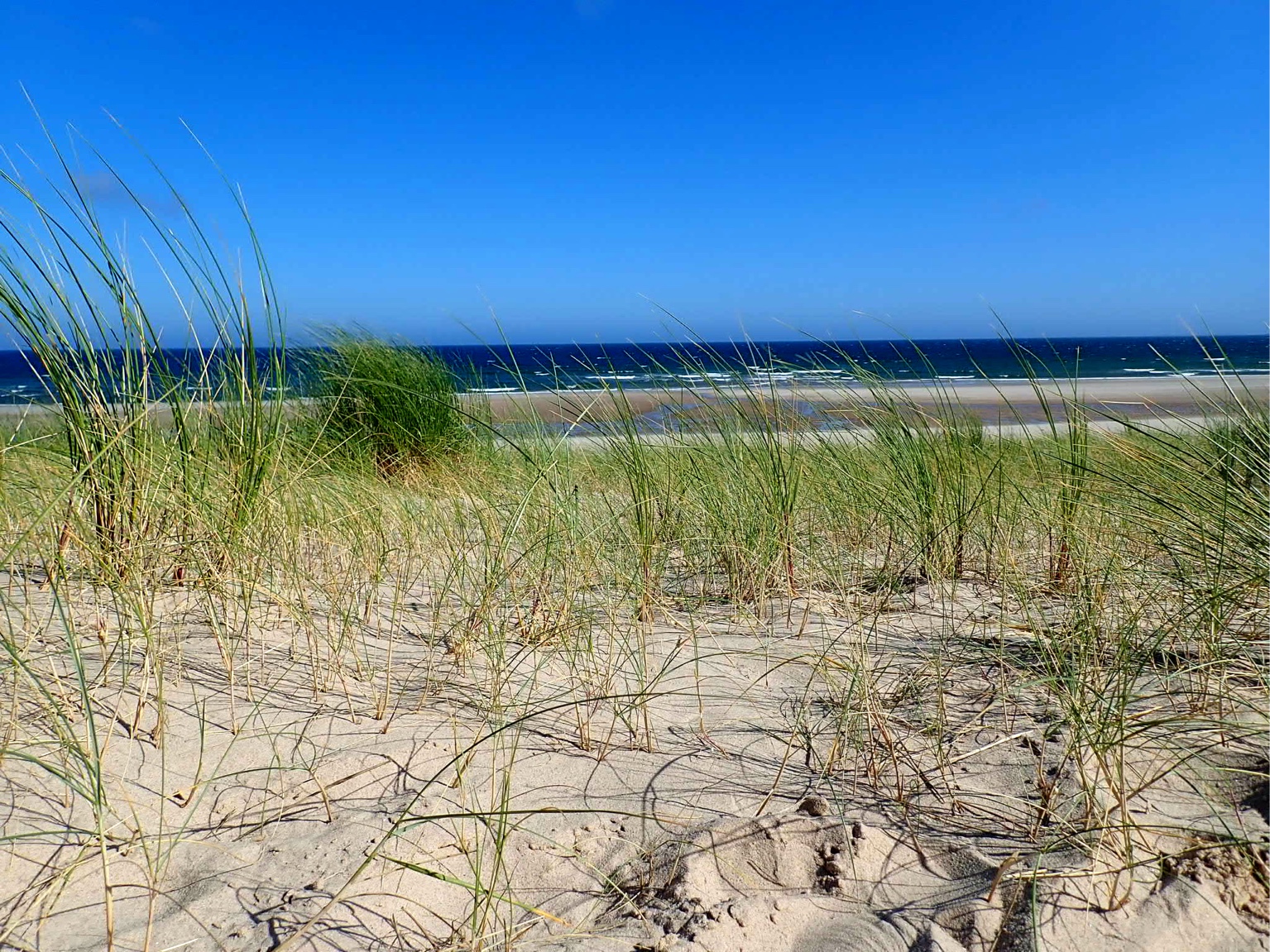
This project examines surveys and assessment of the onshore cable route undertaken on Sunday July 30 2006 and Tuesday August 22 2006. The fieldwork was carried out to check the site condition. The surveys concluded that vegetation recovery was good although in one area the creation of recreational facilities has taken precedence over any botanical and other wildlife interest.