

2013, E.ON Climate and Renewables, Humber Gateway, Export Cables Laying Plan
Summary
Data & downloads
Reports
Related Pages
 Series
2016-2017, Institute of Estuarine and Coastal Studies, Humber Gateway, Fish and Shellfish Surveys
Fish and shellfish surveys were conducted by the Institute of Estuarine and Coastal Studies on behalf of E.ON Climate and Renewables in the area of the Humber Gateway Offshore Wind Farm off the Yorkshire Coast. Near shore potting and trammel surveys were undertaken as required by the Post-Construction Monitoring Plan (PCMP) and aim to gather data in order to analyse the impact of the wind farm. The surveys collected comparable data to the EIA baseline fish and shellfish monitoring survey and evaluated potential impacts of the wind farm on fish species in the vicinity of the wind farm and shellfish in the vicinity of the export cable route. Near shore potting and trammel survey reports and datasets are provided within this series.
 Series
2016, Bibby HydroMap, Humber Gateway, Geophysical Survey
Bibby HydroMap were commissioned in March 2016 by E.ON Climate and Renewables UK Limited, to carry out a geophysical survey at the Humber Gateway Offshore Wind Farm, which lies off the coast of Easington, near the Humber Estuary. The wind farm comprises 73 turbines and their associated inter-array cabling, together with two export cables. The wind farm covers an area of 35km2 of seabed, with an installed capacity of up to 219MW. The survey was carried out between 16th March and 09th May 2016. The main objectives of the work were to undertake multibeam, side scan sonar and pinger surveys over the following areas: ? Circular areas of 105m radius, centred around each of the wind turbines; ? A 15m wide corridor, centred around the as-installed cable position on the inter-array cables; and ? A 15m wide corridor centred on the as-installed position of the export cables. o At the Clients request, interpretations were carried out on revised cable corridor widths of 20m, centred on the as-installed cable positions along the inter-array and export cable routes. o For charting purposes, the interpretations utilise a 210m square box centred on each of the wind turbines, instead of the circle of 105m radius.Gering 35km2 of seabed
 Series
2015, Bibby HydroMap, Humber Gateway, Rock Bag Post Installation Survey
Bibby HydroMap were commissioned in October 2015 by E.ON to carry out rock bag post installation survey using a high resolution multibeam system at the Humber Gateway Offshore Wind Farm. The survey was carried out between 3rd October 2015 and 6th October 2015. The main objective of the survey was the accurate positioning and high resolution images of all deployed rock bags.
 Series
2015, Animal and Plant Health Agency (APHA), Humber Gateway, Pink-footed Goose Radar Survey
The Animal and Plant Health Agency (APHA) was commissioned by the Institute of Estuarine and Coastal Studies, on behalf of E.ON Humber Gateway Limited, to monitor the 2015 autumn passage and flight activity associated with migrating Pink-footed geese through the Humber Gateway Wind Farm and to compare this data with pre-construction data from a comparable 2012 study. Continuous radar surveys to cover the autumn migration period were carried out between 14 September and 20 November 2015 (68 days). The surveys were combined with visual observations undertaken by radar ornithologists for 7 hours each day, during daylight hours, providing a total of 476 observational hours.
 Series
2015, Harkand Andrews Survey, Humber Gateway, Geophysical Survey
Post construction survey 2015 for Humber Gateway Offshore Wind Farm conducted by Harkand Andrews Survey between 17 March - 28 May 2015. The extent of the areas covered by the post construction site survey are as follows: - Array Cables: the array cables were surveyed in 15m wide corridors, using the array cable as the centre line. - Export Cable Route: each export cable was surveyed in 15m wide corridors, using the export cable as the centre line. - Turbine and offshore substation foundations: The turbine foundations and substation foundation were surveyed for 100m around the outside circumference of the turbine base.
 Series
2013, PMSL, Humber Gateway, Benthic Monitoring Programme
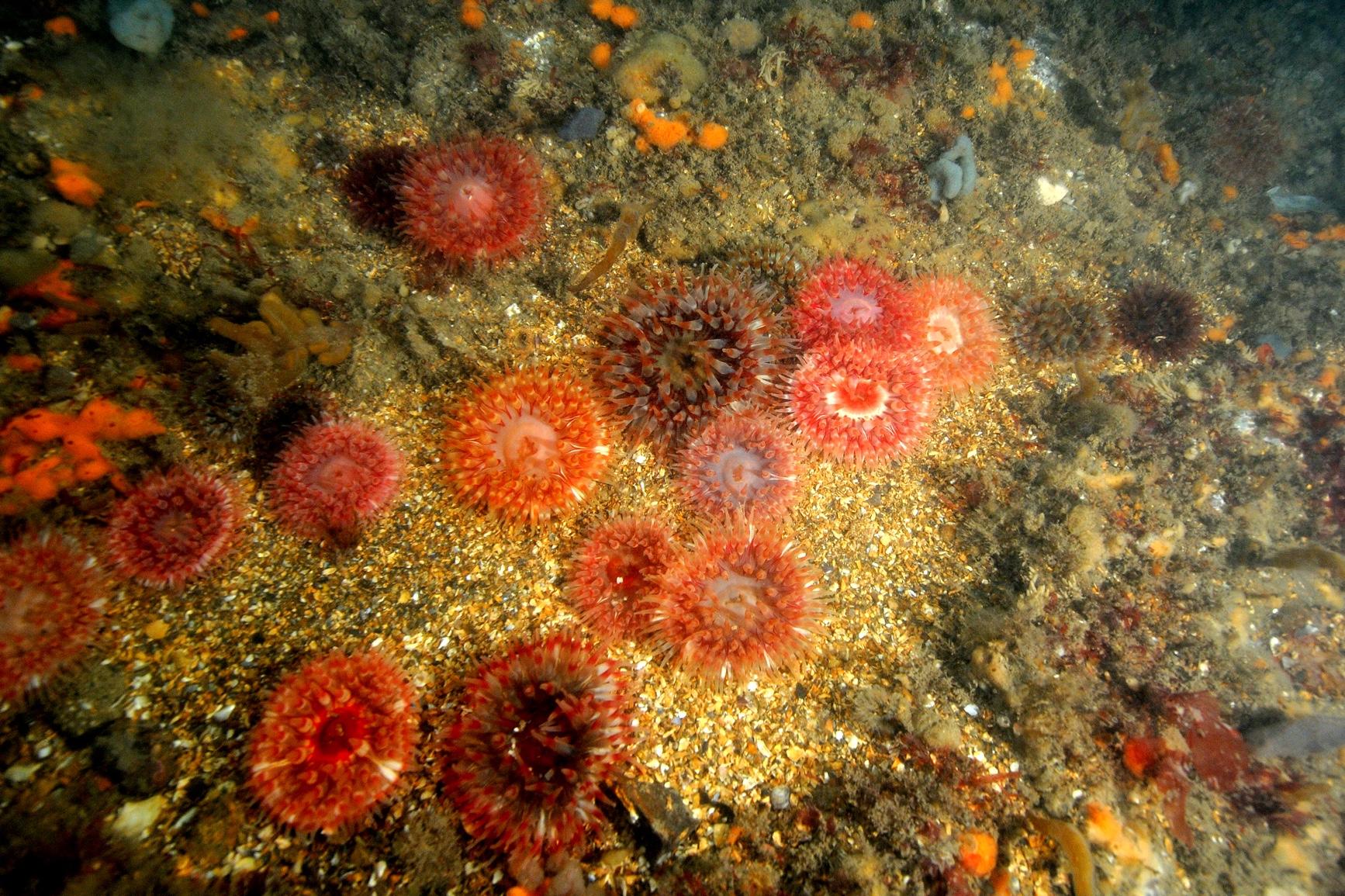
A Benthic Monitoring Programme (BMP) was approved by the MMO in May 2012. This Annual Report contains the findings and interpretation of the surveys that were completed in 2012 in accordance with the BMP. This annual report contains the findings and interpretation of the following two surveys: a) Annex I Survey and Assessment; and b) Benthic Survey and Assessment.
Series2012 - 2013, Osiris Projects, Humber Gateway, UXO Extension Survey
Osiris Projects were commissioned in December 2012 by E.ON to carry out an Unexploded Ordnance UXO survey at the proposed Humber Gateway Offshore Wind Farm. The project objectives were to expand the previous UXO detection surveys completed in June 2011 and January 2012, under Osiris Projects Report numbers C11016 and C12001. The survey was carried out between 5th December 2012 and 30th January 2013. The current C12041 UXO survey involved modelling marine magnetic data to enable UXO and archaeological risk assessments to support the placement of inter array cables, with data acquisition comprising of multi-beam bathymetry, side scan sonar, pinger sub-bottom profiling and marine magnetic techniques, using Osiris Projects dedicated survey vessels, MV Bibby Tethra and MV Freja. This series contains Reports, UXO data, Geophysical Data and Charts. The following sections are missing: Volume 3 Appendix 1 and Individual DXF charts for Boulder Clearance
Series2012-2013, Osiris Projects, Humber Gateway, Geophysical Survey
Osiris Projects were commissioned in October 2012 by E.ON Climate and Renewables to carry out a geophysical survey on the proposed Humber Gateway wind farm site. The survey was carried out between 13th November 2012 and 2nd April 2013 by MV Freja, with surveys for contract variations completed during the period 30th April to 3rd May 2013. However, due to a period of sustained bad weather and breakdown of Freja’s engine, SV Bibby Tethra also worked on this project between 19th February and 2nd April 2013.The survey will be repeated in the summer of 2013, as part of the monitoring program on the Humber Gateway site. The main objectives of the survey were as follows: -To compare in a disciplined and quantified manner the results of each of the periodic surveys - To provide an accurate bathymetric chart of the survey area and cable corridor region - To chart evidence of scour around the Met-mast -To chart Annex1 habitats particularly “Cobble Reefs” and Sabellaria reefs, both defined by Natural England’s report “Best methods for identifying and evaluating Sabellaria spinulosa and cobble reef”: - To chart natural seabed features including mobile sediments/sand based, and any obstructions, man-made objects, debris or wrecks. - To chart jack-up leg hole positions and scour associated with them. - To produce isopachyte charts to show sediment thickness of the upper 2m of seabed including, loose, and any mobile material, and of any other significant reflector - To produce a comprehensive factual report describing methods and events within the survey. - Correlate magnetic anomalies and sonar contacts to identify items that require may require further physical Survey for example UXO, wrecks, and man-made objects. - During survey period, identify items/areas of “Specific Areas of Interest & Archaeology” and inform the Employer as required. This series contains Reports, Bathymetry and Mosaic datasets as well as a report regarding the status of the disused Amethyst Pipeline. This series reports cover the export cable and the wind farm area, however only data for the Export Cable is available.
Series2012, Osiris Projects, Humber Gateway, Geophysical Survey
On the instructions of E.ON Climate and Renewables, Osiris Projects were commissioned to undertake a geophysical survey at the proposed Humber Gateway Wind Farm site. Unless stated otherwise, all co-ordinates quoted in this report are referenced to the WGS84 Datum. Grid co-ordinates are in the UTM Projection, Zone 31N, Central Meridian 3E. The survey was completed under Osiris Projects Terms and Conditions and was carried out between 2nd February and 6th March 2012. The Humber Gateway Windfarm Project is a Round 2 offshore wind farm development located in the northern part of the Greater Wash. The site is 8km east of the Yorkshire coast, near the Humber Estuary in north-east England. The main objectives of the geophysical survey were as follows: - To provide an accurate bathymetric chart of the site; - To chart natural seabed features and any obstructions, man-made objects, debris or wrecks; - To produce a comprehensive factual report describing methods and events within the survey; - To produce a comprehensive interpretative report on the survey results obtained to assist design of the offshore foundations / structures and cable burial; and - During the survey period, to identify items/areas of specific areas of interest and archaeology and inform the Client as required.
 Series
2012, Osiris Projects, Humber Gateway, UXO Extension Survey
Osiris Projects were commissioned in December 2011 by EON to carry out an extension to the UXO survey at the proposed Humber Gateway windfarm, which was completed in June 2011. The site initially consisted of seventy four 120m x 120m boxes, which was extended to 300m x 300m boxes for this contract, around the proposed turbine and substation locations although this was increased to a total of seventy six, through contract variations. This survey was carried out between 4th January and 27th March 2012. The main objective of the UXO Clearance survey was to allow a risk assessment to be undertaken to standards common in the offshore wind industry, prior to any geotechnical investigations. Data was acquired using a magnetometer, side scan sonar and single beam echo sounder to identify targets ferrous or otherwise with the potential to disrupt drilling operations.This series contains reports and data, however the following datasets/reports are missing: Volume 1 - Operations Report and SSS targets digital listings.
 Series
2012-2013, Natural Power Consultants, Humber Gateway, Ornithological Monitoring Plan (OMP)
The Humber Gateway Project Marine Licence required pre-construction ornithological surveys to take place in the year preceding construction. The pre-construction OMP took place between January 2012 and January 2013 undertaken by Natural Power Consultants.
 Series
2011-2012, PMSL, Humber Gateway, Benthic Monitoring Programme
The Benthic Monitoring Programme (BMP) was produced to fulfill Marine Licence pre-construction requirements. The BMP sets out the scope, methodology and programme for the pre-construction bathymetric, Annex I and Benthic surveys that were to be undertaken before the commencement of construction. The BMP was submitted to the Licencing Authority in March 2012 for agreement.