

2007, EMU Ltd., Kentish Flats, Post-Construction Swath Survey 6
Summary
Data & downloads
Reports
Related Pages
 Series
2015, Jon Ford Environmental Consulting, Kentish Flats, Bird Survey
Ornithology observational reporting for Kentish Flats Extension between January 2015 and March 2015. This series contains the Summary Reports, Data Forms and GPS tracks for all five surveys.
 Series
2014, Jon Ford Environmental Consulting, Kentish Flats, Bird Survey
A collection of bird survey reports spanning from 02/10/14 to 13/12/14 from the Kentish Flats Survey Area.
 Series
2011-2013, Ecology Consulting, Kentish Flats, Diver Surveys
Surveys of the distribution and abundance of red-throated divers at the Kentish Flats wind farm during the pre-construction, construction and post-construction phases of the wind farm have been undertaken over 10 years prior to 2011-12 and have been reported previously. This report presents an analysis of new data sets from surveys completed at Kentish Flats during 2011-12 and 2012-13. The original statistical analysis carried out for the monitoring conducted under the FEPA licence of the effects of the Kentish Flats wind farm on bird populations utilised a BACI (before-after-control-impact) approach. However it was acknowledged in the monitoring reports that this was of relatively low power which meant that no statistically significant effect was identified although a qualitative assessment suggested an avoidance of the site by divers. Evidence has been found of displacement of divers from within the wind farm site, with this effect apparent in all seven years of post-construction monitoring. The 2011-12 and 2012-13 results have confirmed a much reduced diver density within the wind farm, and provided further data to inform the estimation of the magnitude of that displacement. The precise magnitude of the effect is dependent on exactly which comparisons are made and whether account is taken on the variability in diver populations in the wider survey area. However, the analysis presented here suggests a displacement of between 89% (comparing recent densities within and outside the wind farm) and 94% (comparing with previous pre-construction densities). Outside the wind farm the results are less clear. The area within 3km of the wind farm has consistently held lower densities of divers than during the pre-construction period, but there has also been a decline in divers in the survey area generally (and the extent of the control area is insufficient to enable a full BACI analysis to be undertaken, particularly in light of the high variability in numbers in that area between years). The new data from a wider survey area has enabled the geographic extent of the diver displacement to be investigated further. This new analysis suggests that comparison with the pre-construction baseline has over-estimated the displacement effect in these zones (which might be better explained by spatial and/or temporal changes in the wider diver population). The gradient analysis showed no evidence of diver displacement beyond 1km from the wind farm in 2011-12 and in 2012-13. There was some suggestion from the 2008-09 data in particular that the magnitude of the diver displacement may be decreasing through time; divers may be habituating to the presence of the wind turbines. The 2011-12 and 2012-13 data do not however provide support to such a hypothesis of habituation, with no records at all within the wind farm in 2012-13. As noted in the previous reports, the biological importance of diver displacement is not yet clear and needs to be addressed with reference to the context of the wider diver population within the Outer Thames Estuary. It is also important to recognise that the results for this site may not be directly applicable to other wind farm sites given the Kentish Flats wind farm’s relatively small number of turbines and footprint size, and its relatively low importance for divers. It is possible, for example, that divers using a site of greater importance/attractiveness to them may be less likely to be affected by disturbance than those at Kentish Flats.
 Series
2008-2009, Ecology Consulting, Kentish Flats, Review of Monitoring of Red Throated Divers
The report in this series presents a review and re-analysis of the diver data collected at the Kentish Flats offshore wind farm in order to evaluate the effect of the construction and the operation of the site on the distribution and numbers of divers in and around the project area. The study evaluates data collected during the preconstruction and post-construction boat surveys (7 years to 2007), including a revised analysis of the spatial distribution of the divers before and after construction of the wind farm to determine whether any displacement has taken place. It also includes an analysis of new data sets from surveys completed during 2008-09. The boat-based surveys conducted during 2001-2007 followed the standard Seabirds at Sea survey methodology (Komdeur et al. 1992). This general method is not well suited to divers, as they have behavioural characteristics that reduce detectability by this standard approach, particularly taking flight at distance ahead of the survey vessel. It is recommended that future surveys for divers should include scanning ahead of the survey vessel with binoculars to increase diver detectability. Additional improvements to the survey methodology to improve the quality of diver data have been suggested and trialled during 2008-09.
 Series
2008, Emu Ltd, Kentish Flats, Turbine Foundation Faunal Colonisation Diving Survey
Emu Limited was commissioned by Kentish Flats Limited to undertake a marine ecological survey of two turbine foundations, within the Kentish Flats Offshore Wind Farm. The aims of the study were to investigate the faunal colonisation of the subsea monopile foundations, using diver collected stills photography and video footage, MNCR Phase II recording data, and collection of scrape samples. The survey was undertaken approximately three years after installation of the turbine foundations. The survey of turbines numbered D2 and C4 (see Figure 1) was undertaken on the 30th July 2008. The following data was collected at each of the 2 turbine monopiles; - Stills photography of the monopiles from sea surface to seabed, - Video footage from sea surface to the seabed, - Video footage of the seabed within the immediate vicinity of the monopile, - Four surface scrapes (0.01m2) on each monopile, - MNCR Phase II biological recording. The biomass values for the scrapes taken at each biological zone on the monopile confirmed that Mytilus edulis is the major biomass contributor and accounts for the intra-zonal variability in biomass observed.
 Series
2007, EMU Ltd, Kentish Flats, Post-Construction Bathymetric Swath Survey 6
In accordance with the FEPA licence, there is a requirement to undertake pre-construction and post-construction surveys of a selection of turbine locations and the associated cable corridors to determine rates of scour after construction. Emu Limited was commissioned by Kentish Flats Ltd. to carry out a series of hydrographic surveys spaced at 6 monthly intervals both before and after construction to achieve this requirement. This project relates to the seventh such survey, the sixth since construction of the turbine foundations. The fieldwork was performed between 2nd and 5th November 2007 by our subcontractor Port of London Authority (PLA) using the survey vessel Verifier. Depth data were acquired by a multibeam system fully integrated with motion sensor and navigation software.
 Series
2007, CT Offshore, Kentish Flats, Post Lay Inspection of HVAC Cable
CT Offshore was awarded the maintenance survey contract requiring Post Installation Maintenance Survey of the 33 kV power cable between the offshore WTG foundations and the land fall cables running ashore. It was agreed to commence the survey at the identified critical sections – and evaluate along the operation taking the weather and progress in to consideration. The purpose of the survey was to determine the degree of protection provided to the cables based on the burial depth into the seabed, and the survey data from the survey completed summer 2006. In other words there are now to independent survey to clarify the seabed cover over the cables along the cable route in all positions along the route where a survey has been completed. The correlation between the two survey has indicated some cables which remain at risk, and others which has gained burial as and outcome of unexpected sediment movement.
 Series
2007, EMU Ltd., Kentish Flats, Macrobenthic Ecology Study
This study is the third in a series of post construction surveys which aim to assess the impacts of the Kentish Flats Wind Farm development on the physical conditions and associated biological communities within the development site and close environments. The task was achieved by comparing the data obtained during the 2007 survey to those of the 2002 baseline study (Emu Ltd, 2002a), the 2005 first post-construction study (Emu Ltd, 2006) and the 2006 second post-construction study (Emu Ltd, 2007). Benthic samples were collected by means of a full sized Hamon Grab sampler, with subsequent analysis for macrofauna and sediment components, and by scientific 2m Beam trawl to provide qualitative data on epibenthos and fish species across the area
Series2006-2007, Environmentally Sustainable Systems Ltd., Kentish Flats, Fifth Ornithological Monitoring Report
This Fifth and Final Ornithological Monitoring report which covers Year 6 of the bird monitoring programme, presents and analyses the results of the 17 boat surveys from 10th December 2006 to 21st November 2007 for the Kentish Flats offshore wind farm, and aerial data collected during two surveys flown on 3rd and 18th February 2007 in the area surrounding the wind farm. The purpose of this report is to meet the FEPA license monitoring requirements determined by DEFRA (following advice from English Nature, now Natural England) as a planning consent condition for the construction of the Kentish Flats project. Population estimates with means and standard errors for the wind farm site and buffer zone and for the control site have been calculated using the data collected during each of the 108 boat surveys since October 2001. Standard errors have been updated and improved by the larger (6-year) dataset. Relative abundance indices have been calculated with standard errors for all WWT aerial surveys covering Kentish Flats.
 Series
2006, EMU, Kentish Flats, Macrobenthic Ecology Study
This study is the second in a series of post construction surveys which aim to assess the impacts of the Kentish Flats windfarm development on the physical conditions and associated biological communities within the development site and close environments. The task was achieved by comparing the data obtained during the 2006 survey to both those of the 2002 baseline study (Emu, 2002a) and the 2005 first post-construction study (Emu Ltd, 2006)
 Series
2006, EMU, Kentish Flats, Monitoring Programme - Fisheries Surveys
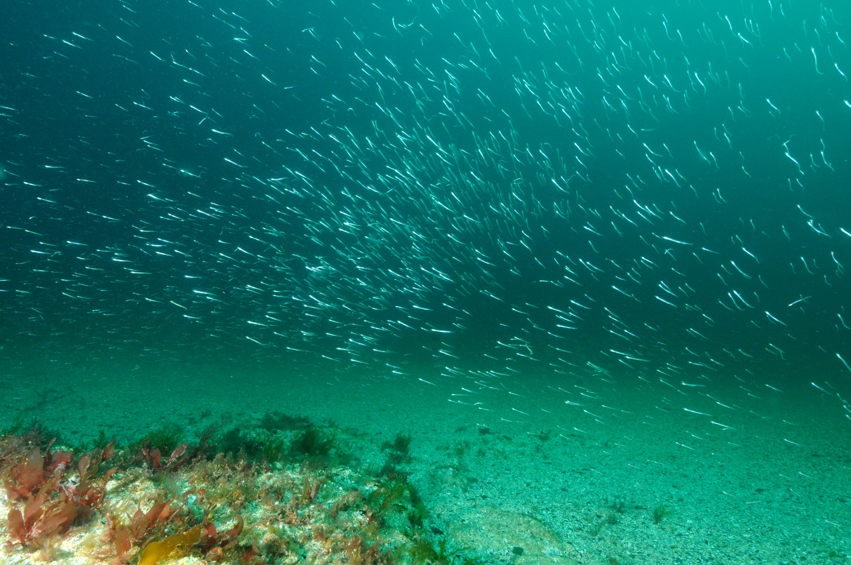
As part of the monitoring programme stipulated within the FEPA Licence for the construction of a 129MW offshore windfarm on the Kentish Flats (Thames Estuary), fish monitoring surveys are required as little is known about the potential effects of wind farms in terms of enhancing or aggregating fish populations. Advice detailed in Annex I of the FEPA Licence (Licence 31780/03/0) for the Kentish Flats Wind Farm states that ‘adequate pre-construction baseline and post-construction surveys of fish populations in the area of the wind farm’ need to be undertaken. Three pre-construction surveys were undertaken. The first of the seasonal post-construction fish monitoring surveys was undertaken on 7th July 2005 (see separate report). The second post-construction survey, was conducted on the 12th October 2005. Subsequent surveys were planned for December/January 2005 and March/April 2006, to encompass the projected first operational year of the wind-farm. The survey planned for December 2005 or January 2006 was unable to take place due to constant problems with the weather. The survey was subsequently delayed by engine problems encountered by the fishing vessel used, ‘Our Sarah Jane’. The current survey was undertaken over one day, 23rd March 2006. The final post construction survey is planned for June and will reflect the pre-construction survey activity. Details of catch composition and subsequent analysis are not included here, as these data will be compiled into an interpretative report following completion of all the field surveys.
Series2005 - 2006, Environmentally Sustainable Systems Ltd., Kentish Flats, Fourth Ornithological Monitoring Report
This Fourth Ornithological Monitoring report which covers Year 5 of an ongoing monitoring programme, presents and analyses the results of the 16 boat surveys from 7th December 2005 to 1st December 2006 for the Kentish Flats Wind Farm, and aerial data collected over four surveys from December 2005 to February 2006 in the area surrounding the wind farm. The purpose of this report is to meet the FEPA license monitoring requirements determined by DEFRA (following advice from English Nature, now Natural England) as a planning consent condition for the construction of the Kentish Flats project. Population estimates with means and standard errors for the wind farm site and buffer zone and for the control site have been calculated using the data collected during each of the 90 boat surveys since October 2001. Standard errors have been updated and improved by the larger (5-year) dataset. Relative abundance indices have been calculated with standard errors for all WWT aerial surveys covering Kentish Flats. The statistical comparisons of the boat and aerial survey data have not revealed any statistically significant changes in the abundances of bird populations (FEPA Objective 1) between the preconstruction, construction and operational periods. In particular the aerial data analyses provided no evidence of displacement of birds from the region that includes the Kentish Flats wind farm. As in previous years the boat analyses are somewhat restricted by the lack of comparable data from the control area, especially during the peak diver period, and the lack of consistency in the dates on which surveys were completed, together with the natural and in some cases extensive seasonal and interannual variation in the numbers and distributions of bird populations. Patterns of use and passage in and around the Kentish Flats wind farm, revealed by the mapped distributions of birds seen, do show some changes between years but in most cases it is not possible to attribute these changes to the construction or operation of the wind farm. In particular it is apparent that divers have not been seen within the wind farm site during the current reporting period and this may indicate some displacement of divers from the Kentish Flats wind turbine array. While no divers were seen within the operational wind farm a number were seen in flight or on the water very close to the outside edge of the wind farm, (some sitting less than 100m from a turbine). Even though no changes in bird abundance were statistically significant, the density estimates and mapped distributions suggest that the numbers of redthroated divers were lower during the operational phase than during pre-construction. Cormorant numbers were lower between December and April since the wind farm became operational, but not at other times of year. Lesser black-backed gull numbers in February were lower in the construction and operational phases. There were suggestions of differences in other months for this species and possible reductions for greater black-backed and herring gulls, but no consistent patterns were detected. Gannet and common tern numbers show no evidence of changes. As in the previous reporting period there was a suggestion from the surveyors reports that fewer common tern flights passed through the wind farm site (although no statistical difference in populations is apparent). The numbers of guillemot appear to be lower since the wind farm became operational.