

2015, Osiris Projects, Burbo Bank Extension, Geophysical UXO Survey
Summary
Data & downloads
Datasets
Related Pages
 Series
2019, Ocean Ecology, Burbo Bank Extension, Benthic Ecology Survey
This report presents the findings of the second Burbo Bank Extension (BBW02) post-construction benthic survey undertaken by Ocean Ecology Limited (OEL) on behalf of Ørsted. The benthic survey was undertaken between 8th and 9th September 2019 aboard the vessel Seren Las. During this survey, a total of 30 macrobenthic and 54 Particle Size Distribution (PSD) samples were collected within the wind farm array, near-field and adjacent reference areas. In addition, 102 seabed images combined with associated video were collected at eight drop-down video sampling stations and along four camera transects within the Export Cable Route (ECR) corridor. A full description of survey operations is provided in the benthic survey report (Appendix 1). This report aims to provide an assessment of the benthic habitats and associated infaunal assemblages within and adjacent to the areas of potential impact resulting from the construction and operation of the BBW02 offshore wind farm. It also provides a comparison with previous data collected during the 2015 pre-construction and 2017 post-construction surveys to determine the magnitude of impacts predicted in the Environmental Statement (ES).
 Series
2019, EGS, Burbo Bank Extension, Bathymetric Consents Survey
Ørsted Power contracted EGS international Ltd (EGSi) to undertake a bathymetric survey at Burbo Bank Extension Wind Farm (BBW02) in the Irish Sea. Data was acquired in September 2019. Operations were undertaken using a hull mounted dual head Kongsberg 2040C. The surveys were conducted onboard the EGS owned coastal survey vessel ‘The Watchful’, which operated on a 12hr basis from Liverpool marina. Vessel mobilisation, calibrations and verifications began between 22nd and 23rd August 2019 whilst the vessel was in Liverpool and were then completed offshore 24th August. All survey operations were completed on 13th September 2019.
Series2019, EGS, Burbo Bank Extension, Bathymetric Debris Clearance Survey
Ørsted Power contracted EGS international Ltd (EGSi) to undertake a bathymetric debris clearance survey at Burbo Bank Extension Wind Farm (BBW02) – WTG J01 – in the Irish Sea. Data was acquired on 25th August 2019. The purpose of this survey was to identify any seabed scour at the turbine location and detail the interpreted measurements laterally and vertically. The report in this series is the interpretation report for the J01 turbine. Operations were undertaken using a hull mounted dual head Kongsberg 2040C. The surveys were conducted onboard the EGS owned coastal survey vessel ‘The Watchful’, which operated on a 12hr basis from Liverpool marina. Vessel mobilisation, calibrations and verifications began between 22nd and 23rd August 2019 whilst the vessel was in Liverpool and were then completed offshore 24th August. All survey operations were completed on 25th August 2019.
 Series
2018, EGS, Burbo Bank Extension, Bathymetric Survey Campaign
Ørsted Power contracted EGS international Ltd (EGSi) to undertake bathymetric surveys at Burbo Bank Extension (BBW02). The survey was required at the Burbo Bank Extension in April/May 2018. The survey was conducted onboard our coastal survey vessel ‘EGS Watchful’, which operated on a 12hr basis from Brunswick Marina, Liverpool. Vessel mobilisation, calibrations and verifications began between 4th and 14th April 2018 whilst the vessel was in Ramsgate and were then completed in Liverpool after the vessel was road transported up to site. Survey operations commenced at BBW02 on 15th April 2018 and concluded on 8th May 2018.
Series2017, Bibby HydroMap, Burbo Bank Extension, Depth of Burial Survey
Bibby HydroMap were commissioned in March 2017 by DONG Energy to carry out a Depth of Burial survey of the export cable, which runs from the existing substation at the Burbo Bank Extension Offshore Wind Farm (BBW02) in Liverpool Bay, to the north Wales coast, near Prestatyn. In addition, multibeam echo sounder and side scan sonar data were to be collected along the export cable route corridor and around the existing substation, to assess any potential areas of scouring. This series contains the reports/data collected on the MV Bibby Athena and MV Lia as well as the land (beach) survey work.
 Series
2016-2018, Fugro EMU, Burbo Bank Extension, Wave and Current Data
Two SEAWATCH Midi185 buoys has been positioned just outside of the Burbo Extension Offshore Wind Farm boundary. One is located at the North of the park (53°30.113’ N, 003°21.687’ E) and other at south(53°29.101’ N, 003°15.533’) This series documents all report and data collected/generated from this instrument.
 Series
2015, Cathie Associates, Burbo Bank Extension, Cable Burial Risk Assessment
Cathie Associates have been commissioned by DONG Energy to perform a Burial Risk Assessment (BRA) for the inter-array cables and the export cable. The purpose of the BRA is to determine the minimum burial depths required to achieve the protection requirements of the project with regard to natural and anthropogenic hazards. In addition, the study will evaluate burial techniques and the potential for reduced burial and requirements for additional route preparation or cable protection measures.
 Series
2015, Modus, Burbo Bank Extension, ROV and Explosive Ordnance Disposal Operations
Modus Seabed Intervention was contracted by DONG Energy to conduct pre-installation works on the Burbo Bank Extension offshore wind farm. The workscope was divided into two packages – an initial investigation survey of known ferromagnetic unexploded ordnance (UXO) targets to identify any explosive ordnance within the site, followed by an Explosive Ordnance Disposal (EOD) operation, if required, to dispose of all positively identified EO. To deliver this project, Modus worked with subcontractors N-Sea and Ramora. The project utilised the DPII DSV Noordhoek Pathfinder, equipped with Modus CSROV, as well as N-Sea’s Aberlour to support diving operations. This series contains the survey deliverables for each target ID, including survey and inspection logs, video footage, target investigation reports and target images.
 Series
2015, CMACS, Burbo Bank Extension, Benthic and Annex I Habitat Survey
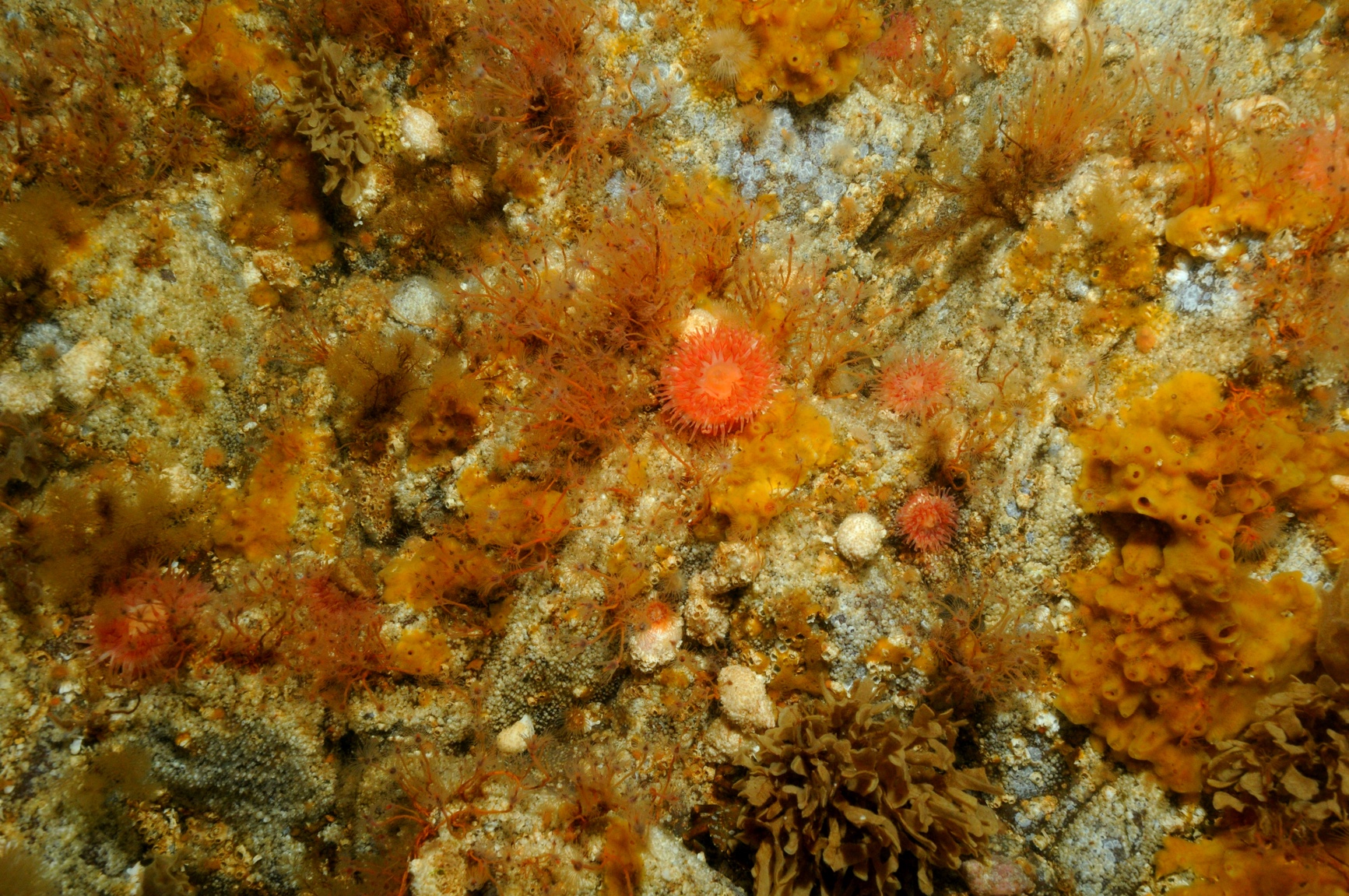
Environmental monitoring for the Burbo Extension Project, with a specific focus on Habitats Directive (92/43/EEC) Annex I habitat and habitats of conservation or ecological importance in order to satisfy requirements of the two English marine licences (EN010026) and one Welsh licence (13/17/ML). Following an initial habitat screening exercise (CMACS, 2015a2), proposed methodology was drafted and consulted upon with statutory authorities and a programme approved in late June/early July (CMACS, 2015b3). Benthic surveys were undertaken accordingly in late July 2015. The report within this series details field operations, which involved grab and drop down video (DDV) work. A short report detailing the presence/absence of Annex I Habitat will be generated following review of imagery and videos, potentially including a mitigation plan, if required. A comprehensive technical report detailing sediment and infaunal sample, image and video analysis and interpretation will be produced in due course, the results of which will then be used to generate post-construction methodology proposals.
 Series
2014, Fugro Alluvial, Burbo Bank Extension, Geotechnical Site Investigation
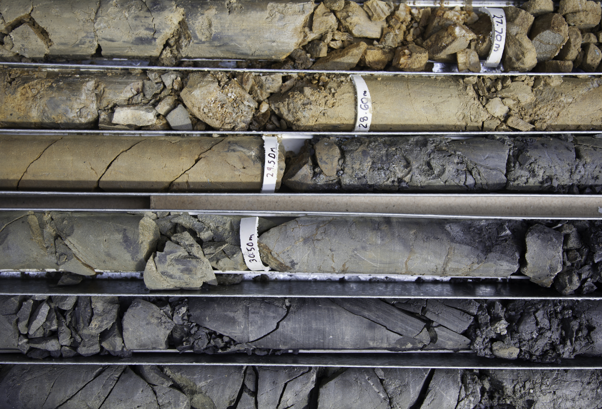
At the request of DONG Energy Burbo Extension (UK) Limited. (DONG), Fugro Alluvial Offshore Limited (FAOL) were contracted to perform a geotechnical site investigation. The investigation was to aid in the development of the extension to the Burbo Bank offshore wind farm. The shallow geotechnical site investigation was performed by FAOL using the MV Coastal Chariot and Willendeavour. The work was performed from 14 July to 28 September 2014, in accordance with instructions received from DONG. The proposed scope of this geotechnical investigation was split between the Array cables and the export cable route. The investigation equipment was sampling with a vibrocore (VC) and in situ testing with a cone penetration test (CPT) unit. For the Array 38 VC locations along with 38 CPTs location were acquired. For the Export cable route 13 VCs with 13 CPT locations were acquired.
Series2014, ESG, Burbo Bank Extension, Topographic and Ground Penetrating Radar Survey
In October 2013 Environmental Scientifics Group (ESG) were commissioned by Dong Energy UK (DONG) to conduct an intertidal geophysical survey over an area of foreshore at Rhyl in Denbighshire. The area to be surveyed is the proposed cable landing point from an extension to the existing Burbo Bank Offshore Windfarm site. A detailed specification was provided which stated the objective of the investigation was as follows: 1. Detect Potential UXO’s 2. Provide Topography for the entire investigation area 3. Provide sub-bottom data This will be used to assist with the design, consenting and construction of the proposed export cable route. The scope of work for the intertidal operations, specified the following: 1. Multi-sensor magnetometer survey 2. RTK GPS Survey 3. Seismic refraction survey of the centreline of the proposed cable route. The survey was carried out in accordance with the specification and works were conducted between 27 November 2013 and 13 December 2013.
 Series
2014, Fugro Engineering Services, Burbo Bank Extension, Geotechnical Site Investigation
A ground investigation has been carried out by Fugro Seacore Limited (FSCL) on the instructions of DONG Energy Burbo Bank Extension (UK) Limited (the Client) and under the supervision of Cathie Associates (the Engineer), at Burbo Bank Extension Offshore Wind Farm. The site is located west of the existing Burbo Bank Offshore Wind Farm.