

2012-2013, Forewind, Zone 3 - Dogger Bank, Environmental Statement - Onshore Landscape and Visual Impact Assessment
Summary
Data & downloads
Datasets
Related Pages
 Series
2014, Atkins , Zone 3 - Dogger Bank, Converter Station Topographical Survey (Teesside A and B)
Atkins was commissioned by Forewind Ltd. to undertake a topographical survey to determine the existing ground profile of a site near to Lazenby, Teesside. The site was identified as a possible location for an offshore electrical substation. This topographical and level survey was undertaken on Wednesday 17th September 2014. The ground profile survey at Teesside AB Converter Station site included 2 sub-sites: Teesside Core and Teesside Corridor. The ground profile of Teesside Core sub-site was completed using Network RTK GNSS techniques to observe ground spot level coordinates at optimal locations. The observed points were chosen according to an approximate irregular level grid across the site according to where there was a significant change in ground profile. Additional points were observed to better define the true 3D definition of the existing terrain across the whole site within the field boundaries. The instrument used was a Topcon GRS-1 GNSS Receiver. The site was traversed on foot with the GPS instrument to effectively survey the terrain profile of the complete site. All observed elevation data with a computed level accuracy that exceeded a specified accuracy quality threshold was rejected in real-time whilst on site. Therefore, the acquired accuracy of survey at Teesside Core Sub-Site is +/-50mm rms. This sub-site was surveyed using a robotic Total Station due to the significant vegetation on this site compared to the Teesside Core sub-site. Ground spot levels, together with fence and ditch alignments, existing tree line, and major changes in ground profile were included within the survey dataset. Observed data was post processed together with observed GPS data to produce a 3D survey plan using AutoCAD 2011 and KeyTerraFirma ground modelling software. Seven survey stations were established and computed, with three stations comprising the main closed loop traverse. The instrument used was a Leica TS30 Robotic Total Station.
 Series
2014, Brown and May Marine, Zone 3 - Dogger Bank, Teesside A and B Fish and Shellfish Technical Report
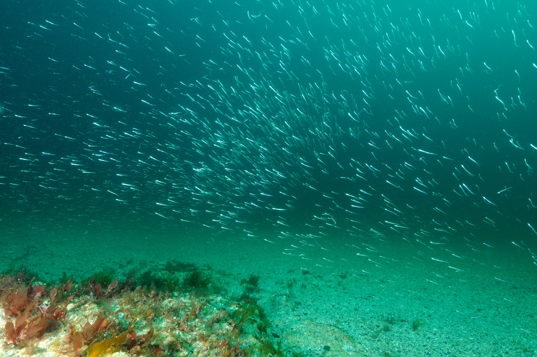
The Teesside A and B Fish and Shellfish Technical Report provides a description of the existing environment in the area of the proposed Dogger Bank Teesside A & B offshore wind farms and the Dogger Bank Teesside A & B Export Cable Corridor in relation to fish and shellfish resources and ecology. It provides supporting information to the Fish and Shellfish Environmental Statement (Chapter 13) and has been undertaken by Brown and May Marine Ltd. ESRI ArcGIS software has been used to present the data within the report.
 Series
2013, IECS, Zone 3 - Dogger Bank, Teesside Landfall Intertidal and Benthic Survey
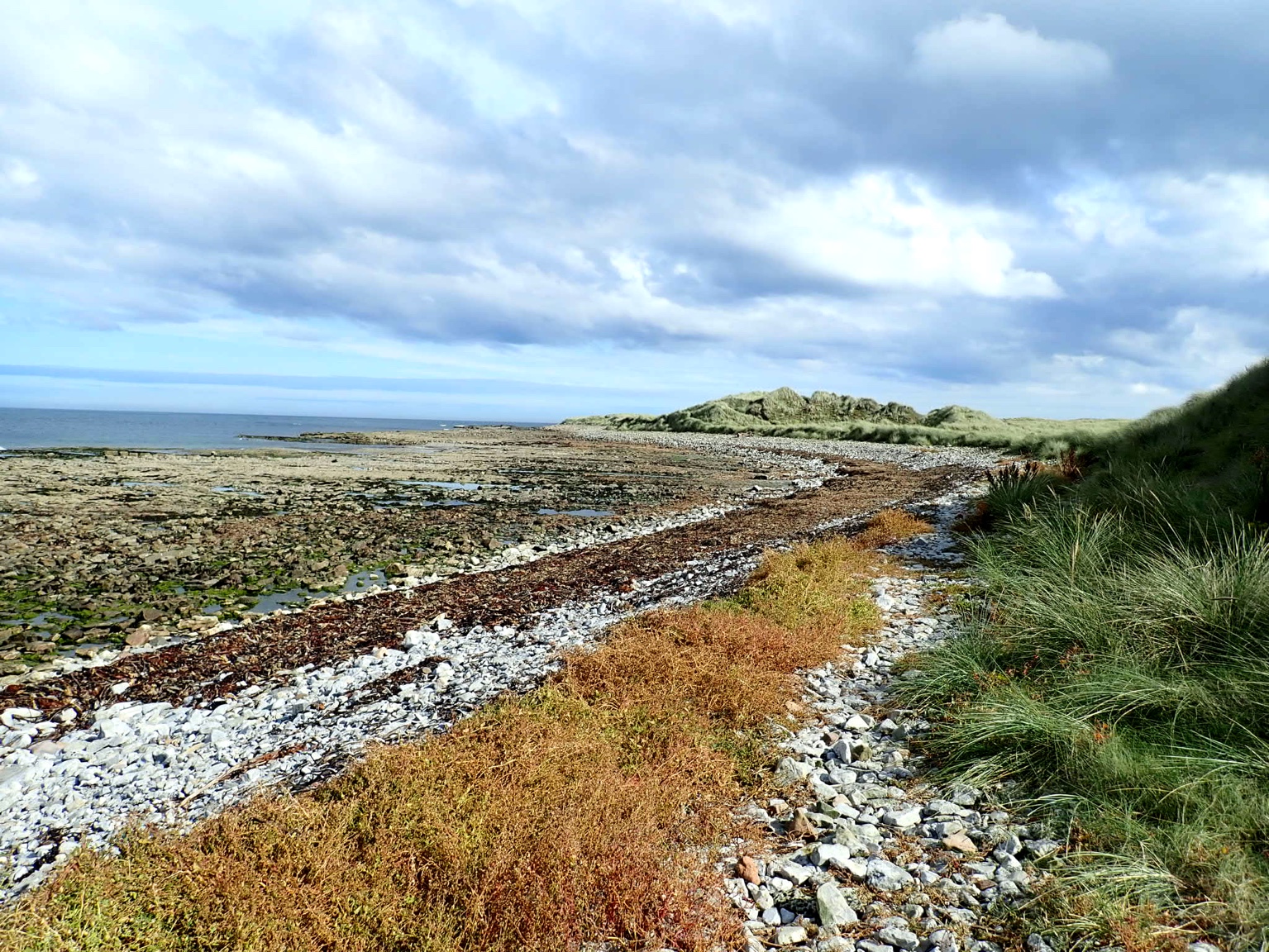
The Institute of Estuarine and Coastal Studies (IECS) was commissioned by Forewind Ltd to carry out a Phase 1 biotope survey of the intertidal zone located between the towns of Redcar and Marske-by-the-Sea, Tees estuary, Teesside. This area has been identified as a preferred landfall location for export cables, with the ultimate aim of connecting offshore wind farms off the Teesside coastline to the National Grid. The intertidal survey was completed as part of the development of the Environmental Impact Assessment (EIA) required from Forewind Ltd to continue with the proposal to use this area as a landfall site.
 Series
2013, Brown and May Marine, Zone 3 - Dogger Bank, Creyke Beck Commercial Fisheries
This report and data provides an assessment of the potential effects of the construction, operation and decommissioning of Dogger Bank Creyke Beck A and B and the Creyke Beck export cable corridor on commercial fisheries. Commercial fishing within the North Sea is a diverse and evolving industry, subject to a wide range of legislation and regulation, which is constantly changing and often unpredictable. In addition, other factors such as fluctuations in the stocks of target species, market forces, operating costs and technical developments have the effect of influencing commercial fisheries baselines. These factors should, therefore, be recognised in the context of the timeframes of Dogger Bank Creyke Beck A and B and the export cable corridor.
 Series
2013, Fugro EMU, Zone 3 - Dogger Bank, Benthic Ecology Characterisation Survey
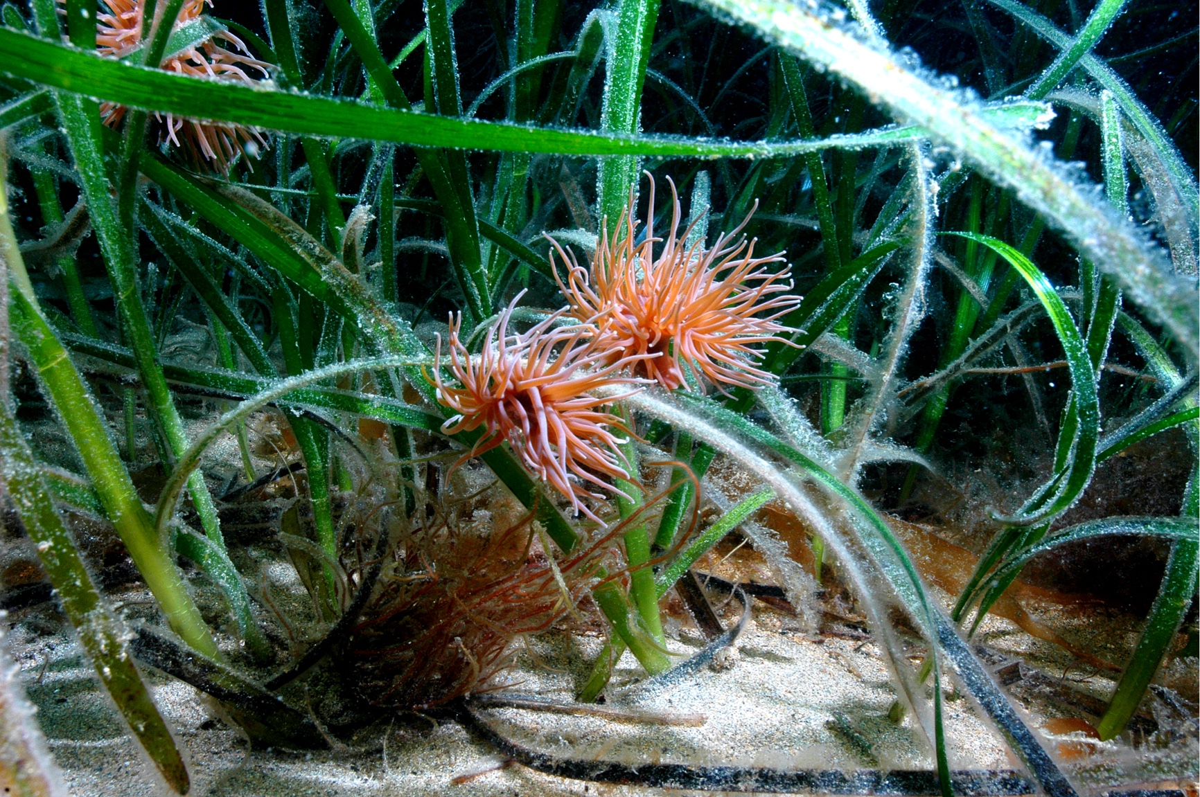
A benthic ecology survey of the Dogger Bank Tranche C area was undertaken to characterise benthic ecological conditions within Tranche C of the Dogger Bank Offshore Wind Farm Zone to inform Environmental Impact Assessment (EIA) in supporting the consent application. Fugro EMU Limited (Fugro EMU) was commissioned to complete the benthic survey. This included seabed video surveillance, sediment sampling and laboratory analyses for macrofaunal content, particle size distribution and determination of sediment contaminants. The results of the sampling and analyses and the subsequent benthic community interpretation are presented in this report. The benthic ecology survey of Dogger Bank Tranche C was conducted over a four day period on site (5th June 2013 to 8th June 2013 inclusive) onboard the vessel MV Aurelia.
 Series
2013, Gardline, Zone 3 - Dogger Bank, Geophysical Survey
Gardline Geosurvey Limited undertook a geophysical survey of the Dogger Bank Wind Farm consisting of the inter project cable route survey, the Tranche C zonal surveys and the Met Mast West. The survey was undertaken between April and August 2013. The object of the surveys was to gather accurate bathymetric data, gain information on the thickness and sediment cover of the seabed sediments and shallow geology, produce evidence for the ongoing movement in seabed sediments, in order to delimit the extent of possible hazards for installation and provide information for foundation conditions. The survey made use of single beam and multi-beam echo sounder, side scan sonar, pinger, sparker and magnetometer. The geological data acquisition programme was carried out on M.V. Sea Surveyor which sailed from Hull and returned to Blyth upon completion of survey operations, and M.V. Vigilant which sailed from Great Yarmouth and to where they returned upon completion of survey operations. Data acquisition at the Tranche C site comprised a seabed survey; the principal objective of the survey was to acquire geophysical data over an area of 71.5km x 17.5km. Data acquisition on the inter-project cable route comprised a seabed survey over two areas, area one comprised an area covering 51.0km x 1.5km and area two comprised an area covering 19.0km x 2.7km at its widest point. These data have been interpreted in conjunction with the Tranche C dataset; producing one integrated interpretation. Data acquisition on the Met Mast West comprised seven 500m lines over a number of spud can depressions.
 Series
2013-2017, Forewind, Zone 3 - Dogger Bank, West Met Mast Wind and Wave and CTD Data
Forewind has installed 2 meteorological masts within the Dogger Bank Offshore Wind Farm Round 3 Development Zone. Dogger Bank East (DBE) was installed during March 2013 and Dogger Bank West (DBW) was installed during September 2013. Both met masts were deployed by Fred Olsen United. The suction bucket foundation and lattice towers were put in place by the jack-up vessel Brave Tern. This series contains the following datasets for the Dogger Bank West (DBW) met mast: Raw 10 minute data from 15 December 2013 to 19 September 2017 Cleaned 10 minute data from 24 July 2013 to 01 July 2014 The following reports are also included: Calibration certificates, Logger codes, Operations and Maintenance reports and General Dogger Bank met mast information The raw data was cleaned and supplied to Forewind by the SSE wind assessment team.
 Series
2013-2017, Forewind, Zone 3 - Dogger Bank, East Met Mast Wind Wave and CTD Data
Forewind has installed 2 meteorological masts within the Dogger Bank Offshore Wind Farm Round 3 Development Zone. Dogger Bank East (DBE) was installed during March 2013 and Dogger Bank West (DBW) was installed during September 2013. Both met masts were deployed by Fred Olsen United. The suction bucket foundation and lattice towers were put in place by the jack-up vessel Brave Tern. This series contains the following datasets for Dogger Bank East (DBE) met mast: Raw 10 minute data from 15 December 2013 to 9 September 2014 Cleaned 10 minute data from 26 March 2013 to 11 August 2014 Both raw and cleaned data from installation to 15th December 2013 has previously been submitted. For each Dogger Bank met mast the following reports are included: Calibration certificates Logger codes Operations and Maintenance reports General Dogger Bank met mast information The raw data was cleaned and supplied to Forewind by the SSE wind assessment team.
Series2013-2014, LUC, Zone 3 - Dogger Bank, Seascape and Visual Impact Assessment (Teesside A and B)
The SVIA was undertaken by landscape architects at LUC in 2013 on behalf of Forewind Ltd. The assessment considers impacts on seascape and views during construction, operation and decommissioning of Dogger Bank Teesside A & B. The assessment of impacts on landscape and views arising from the onshore grid connection work associated with the project is provided in a separate Technical Report (ES Chapter 21 Appendix A) and summarised in Chapter 21 Landscape and Visual of the Environmental Statement. In addition, impacts on historic seascape character as it pertains to perceptions and associations with the sea surface are considered in this assessment. Potential impacts on the historic character of the water column, seabed and sub-seabed are dealt with in Chapter 18 Marine and Coastal Archaeology of the ES. Data was presented using ESRI ArcGIS software.
 Series
2013-2014, Wessex Archaeology, Zone 3 - Dogger Bank, Teesside A and B Marine and Coastal Archaeology
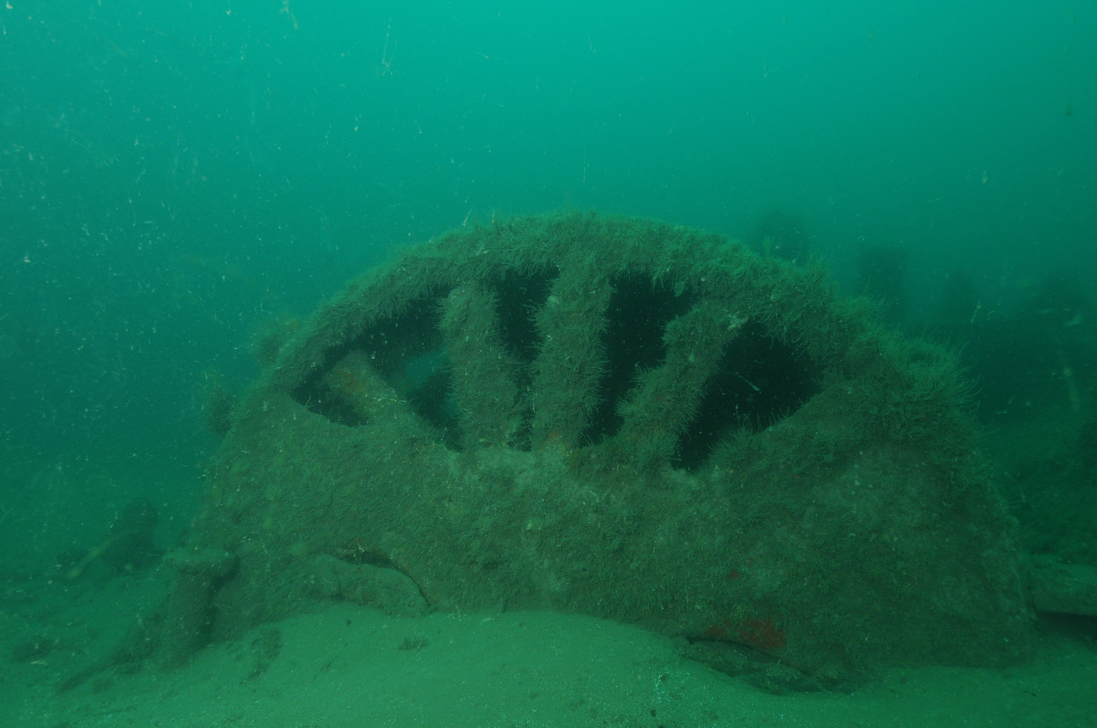
Wessex Archaeology was commissioned by Forewind to undertake an archaeological assessment for the first two of four Dogger Bank Teesside wind farms and associated export cables: Dogger Bank Teesside A and Dogger Bank Teesside B. Assessment was carried out within defined Study Areas comprising the project boundaries, export cable corridor and Temporary Working Areas (1km around the Dogger Bank Teesside project boundaries and 750m either side of the Dogger Bank Teesside A and B Export Cable Corridor). The principle sources for data comprised geophysical and geotechnical survey datasets gathered for the current development, records held by the United Kingdom Hydrographic Office, the National Record of the Historic Environment and the Redcar and Cleveland Historic Environment Record, and secondary sources relating to previous archaeological and geophysical work in the region.
 Series
2012-2013, HiDef, Zone 3 - Dogger Bank, Aerial Bird Surveys of Dogger Bank (Ultra High Resolution Video)
The overall objective of the task was to undertake aerial surveys of seabirds within the Dogger Bank renewable energy zone (Round 3 - Zone 3) on a monthly basis within the calendar months from November 2012 until November 2013. The surveys focused on the Tranche C area of Dogger Bank. This series contains monthly reports, spreadsheets and ArcGIS geodatabases containing observations and tracks.
 Series
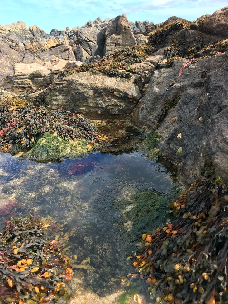
2012, IECS, Zone 3 - Dogger Bank, Teesside Landfall Intertidal and Phase 1 Biotope Survey
The Institute of Estuarine and Coastal Studies (IECS) was commissioned by Forewind Ltd to carry out a Phase 1 biotope survey of the intertidal zone located between the towns of Redcar and Marske-by-the-Sea, Tees estuary, Teesside. This area has been identified as a preferred landfall location for export cables, with the ultimate aim of connecting offshore wind farms off the Teesside coastline to the National Grid. The intertidal survey was completed as part of the development of the Environmental Impact Assessment (EIA) required from Forewind Ltd to continue with the proposal to use this area as a landfall site.